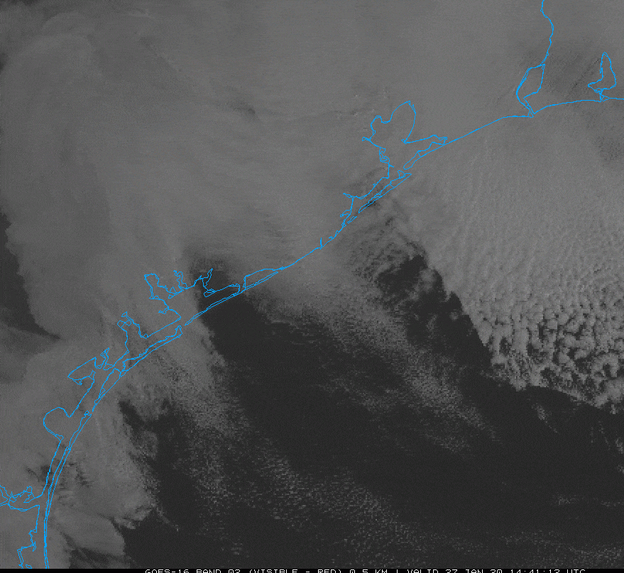
It’s a breezy, chilly morning, with temperatures in the 40s and winds gusting above 20mph across most of Houston. We’re really not going to see temperatures much above 60 degrees until the weekend, when conditions look rather pleasant
Wednesday
We had been hoping to see some sunshine today, but there’s enough moisture above the surface to generate some clouds this morning. As a result, we’re likely to see partly to mostly cloudy skies throughout the day. Add to that steady northwesterly winds in the 10-15 mph range, with stronger gusts, and we’ve the makings of a cool day. Highs will probably top out in the upper 50s to 60 degrees. Low temperatures tonight will drop into the 40s under mostly cloudy skies.

Thursday
We may see a little more sunshine on Thursday morning, but pretty quickly the high pressure in the wake of Tuesday evening’s front is going to move off to the east. This will open the region up to a couple of atmospheric disturbances. Highs Thursday should reach about 60 degrees again, with very slight rain chances during the afternoon hours. Chances increase during the overnight hours into Friday morning as a cold front approaches, but the models are keeping the the heavier rain showers offshore. As a result, I’d expect pretty much all of the Houston area to receive a tenth or two of an inch of rain—if that.