We’re going to have one day, and especially night, of widespread rainfall before the region gets a break from the precipitation. In fact, after early Thursday morning, it would not surprise me to see the region go an entire week without rainfall. So if you’ve been waiting for the region to really dry out, that time now appears to be at hand.
Wednesday
There are a few light showers about this morning, but it looks like the deeper moisture from the remnants of Hurricane Willa won’t push into Houston until later today, or during the overnight hours. Before early afternoon today, we’re likely to see mostly cloudy skies, with scattered light to moderate rain showers, and highs in the upper 60s. Winds will also be breezy, out of the northeast, with gusts up to 20mph.

The real action will likely begin this afternoon to our west, or after sunset for eastern Houston. As we’ve been suggesting for a few days now, we don’t expect anything too extreme. Most of the region will likely see 0.5 to 2.0 inches of rain. Some thunderstorms are possible closer to the coast, but most areas will just see rain. Although soils are pretty wet already, these kinds of rainfall amounts should be manageable, and right now we wouldn’t expect anything more than some isolated, brief street flooding—if that.

Thursday
It should all be over fairly early on Thursday morning as this mess moves off to the east, and leaves the region under a pleasant northwesterly flow. We should see some clearing skies during the day on Thursday, allowing high temperatures to move into the mid-70s.
Friday, Saturday, and Sunday
Well, we finally have a nice weekend for you. With a drier, mostly northerly flow on tap, we should see pleasant and sunny conditions. Highs will range from the mid-70s on Friday to about 80 degrees on both Saturday and Sunday. Skies should be mostly clear throughout. Lows will range from the mid-50s inland to the mid-60s right along the coast, with most of the area somewhere in between. Enjoy!
Next week
Just when you might suspect the onshore flow and humidity train to really get going early next week, we should see another (most likely dry) front reach the area Sunday evening or early Monday.
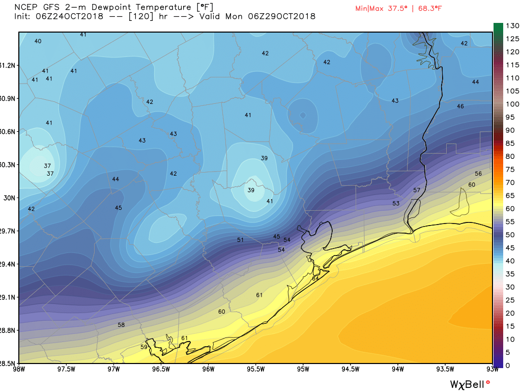
This should give us a couple of more days of drier, a bit cooler, and continued mostly sunny weather. This drier period now probably includes Halloween, but we can’t say for sure whether rain chances will return to the forecast by next Wednesday, Thursday, or Friday.
Too bad the weather looks good for Halloween, now I’ll have to find a way to hide from the trick-or-treaters for 3 or 4 hours.
Still, better than 90 degrees and humid.
What is the deal with this relentless on-shore moisture flow since September? Is this just associated with a flow pattern from El Nino in the pacific? It seems like the gulf coast is just trying to flood. Not sure is this is seasonal or pattern associated. Thanks for any response.
What’s the best guess for the Lone Star Motorcycle Rally 11-1 thru 11-4?
While this weekend does sound pretty spectacular, I’m also ready for 30s and 40s to arrive.
Ummm, I wouldn’t go that far. This weekend’s weather can stay around as long as it likes…