Good morning! That was quite a light show early on Thursday morning, as severe thunderstorms with lots of lightning and strong winds surged through the greater Houston area. These storms generally brought 2 to 4 inches of rain across Houston, with some higher totals in Montgomery County, and nearly all area streams and bayous remained well within their banks. Three exceptions were for Peach Creek Near Splendora; and the West Fork San Jacinto In Humble, where some minor flooding was occurring. The heaviest rain remained off to the northeast of Houston, and some flooding is likely along the Trinity River later this week.

Thursday
As of 6am, rains have cleared out of the western half of Houston, and will continue pushing east and out of the Houston area over the next hour or two. Any threat of severe storms or heavy rainfall has now passed. Skies will gradually clear out today, and highs will reach into the low 80s, before a moderate cool front pushes through the area later this evening, bringing drier, less humid air into the region.

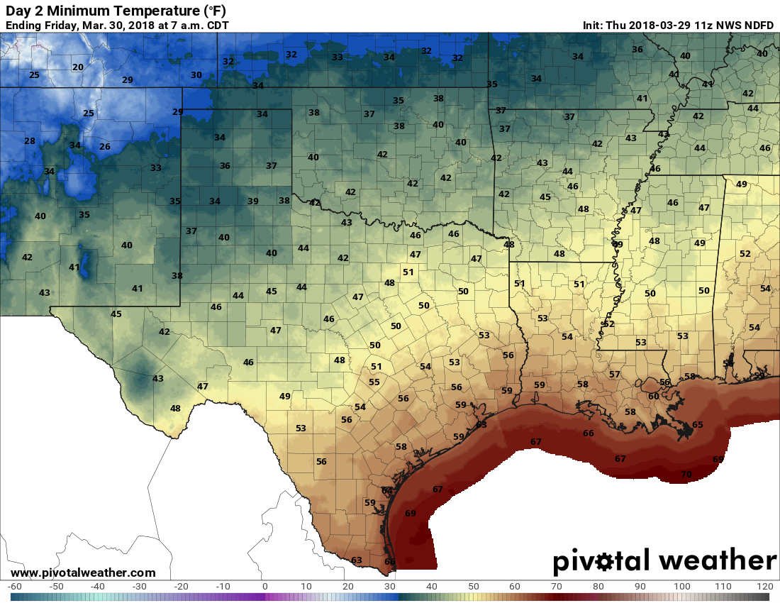
Friday and Saturday
As we’ve been saying for awhile, the end of this week looks great. With northerly winds and high pressure, we’re still on track for a pair of days with high temperatures in the upper 70s to 80 degrees, and cool nights—upper 50s for inland areas, lower 60s along the coast. Enjoy!
Easter Sunday
The holiday still looks pretty nice, too, although with a returning southerly flow from the Gulf of Mexico Houston should start to see humidity levels rising again. Still, I think high temperatures will hold to around 80 degrees on Sunday, and with partly to mostly bunny skies, and a zero percent chance of rain, this should make for eggcellent weather.
Next week
We should see a general warning trend for Monday and Tuesday of next week, with increasingly cloudy skies, before a cold front (probably, the models have been waffling a bit on this one) moves through around Wednesday-ish. It looks like we could see some rainfall with this front, or before it, but I doubt its anything like last night. Perhaps a few tenths of an inch—we’ll see.
We got 4.43″ from around 4PM-4AM in the Champions area. Cypress Creek has peaked in this area about 3 feet below its banks and it’s receding. Thank goodness for that.
With partly to mostly bunny skies! Good one!
Literally LOLed at that. Grateful for the levity when a lot of people are (understandably) nervous about the water coming from the sky!
Thanks for the update, Eric. The rain in the heights area wasn’t too bad until around 1-2am then it soaked us. Sidenote: dogs don’t enjoy going out in the rain 🙂
bunny skies | eggcellent weather — great play on words!
We got 6.5 inches in Cut n Shoot.
Yes, quite a bit up your way…
2.6″ here overnight after I went to bed. Slept right through it.
Bunny skies…love it.
My rain gauge shows 2.15 inches from last night, so Eric & Matt called it pretty well.
Bunny skies!
Tornado warning on phone woke us up on Tiki just before 3 am. Watched as the radar and Doppler showed some rotation as it headed towards us. Fortunately the 3:12 arrival was mild as the winds died out and we topped out at 45 mph. Got just under 1″ of rain.
My weather station here in Friendswood show a little over 2″ last night. But my weather station in deep East Texas has shown almost 10″ since 2:40 PM yesterday! Holy Moly!
https://www.wunderground.com/personal-weather-station/dashboard?ID=KTXHEMPH7#history
A lot of PWSs down in Clear Lake/Friendswood/Ellington area. Never seen so many off-line at once. Not even during Harvey.
I was already a rabbit fan of the site. Today’s remarks sealed it.
Mike – no more cutesy comments like that; you’ll just egg everyone else on!
Hah!
Bucket in my yard near downtown got almost three inches. Buffalo Bayou breached it’s banks again.
Considering our “drought” i’d’ve thought the ground might have absorbed more…
I got 6.45 inches in The Woodlands.
I measured about 3.5″ versus 2.12″ at the nearest (~1 mile) HCFWS gauge at Peek and Fry.
My measurements are consistently greater than Peek and Fry. During Harvey I measured ~42″ of rain versus the HCFWS measurement of ~35″. At our place of refuge ~3/4 mile NW of the gauge, the homeowner’s measurement was consistent with mine.
My rain gauge measured 2.3″ this morning. Near the intersection of S. Mason Rd and Bellaire Rd. in Lakemont subdivision.
4.5″ between Copperfield and Steeplechase.
Perhaps some froggy noises tonight?
Please discuss the drought situation in Texas on Friday. Thanks.