Summary: Houston faces a day of unsettled weather, with the threat of heavy rain and hail, before a largely unbroken string of partly to mostly sunny, spring-like days with highs in the 70s. Saturday looks especially nice for outdoor activities.
Thursday
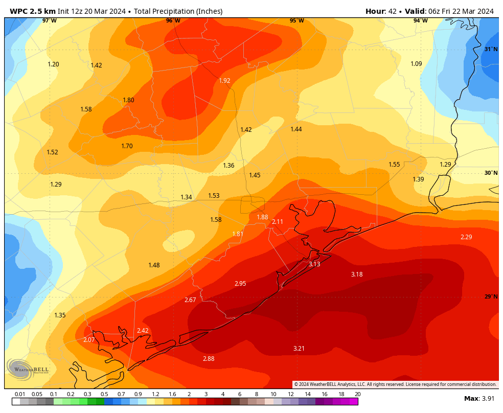
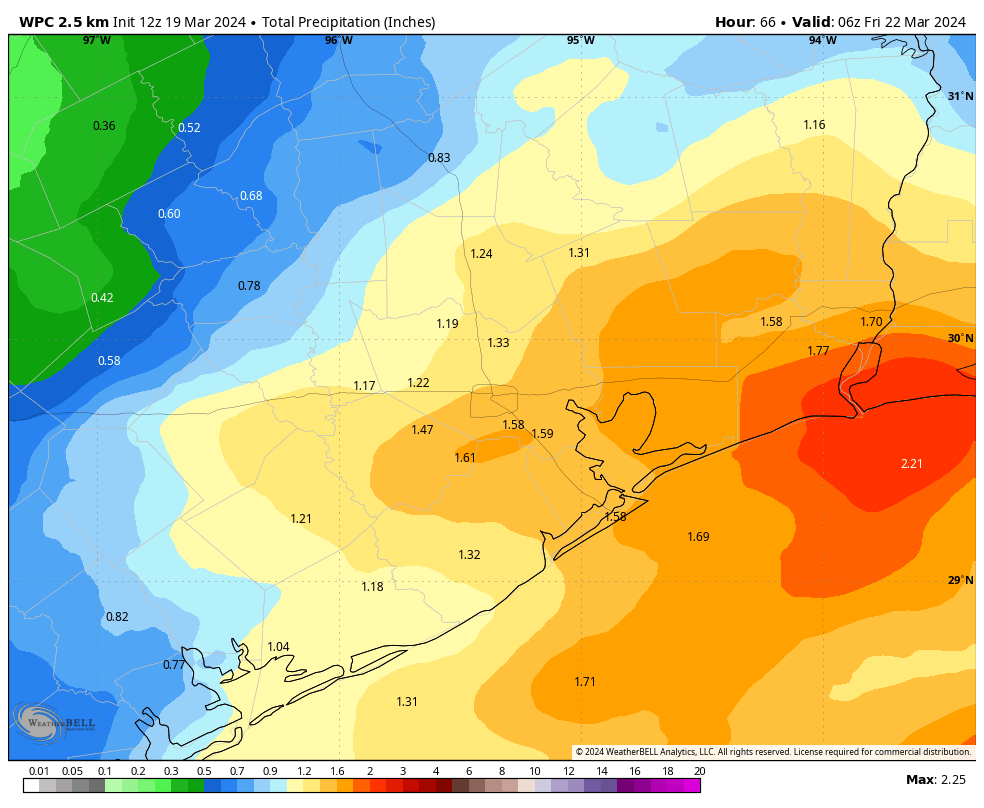
We’re seeing scattered thunderstorms just before sunrise in Houston this morning, and coverage should fill in throughout the morning in response to deepening moisture in the atmosphere. I’d anticipate the strongest storms developing between now and about 2 pm, with the greatest threat along and south of Interstate 10. The primary concerns are heavy rainfall and, within stronger thunderstorms, some hail and potentially damaging winds.
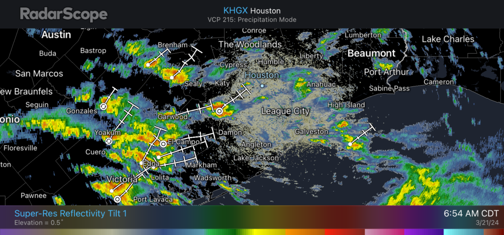
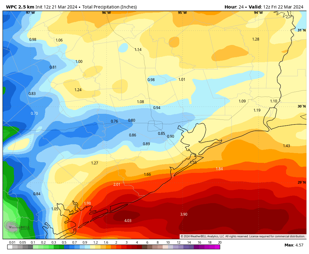
Conditions should clear out some later this afternoon and during the early evening hours. However, a second round of storms will possible around around midnight or shortly after, ahead of a weak front. In contrast to this morning, this line of storms looks fiercest to the north of Interstate 10, and may not bring any additional rain to coastal areas. All told I expect a wide variance in rain accumulations, with most of the area picking up between 1 and 3 inches today. This should not be enough to cause significant flooding, but it may briefly back up some streets.
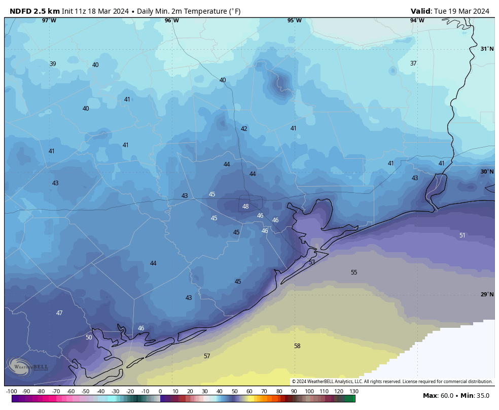
In terms of temperatures, look for highs today in the upper 60s, with cloudy skies when it is not raining. Winds will, generally, be from the east with strong gusts possible during thunderstorms. Lows tonight will drop into the low 60s in Houston.
Friday
In the wake of Thursday’s storms the weather on Friday will be calmer. Look for highs in the mid-70s with partly sunny skies. Winds will be from the northwest at perhaps 15 mph, with higher gusts. This drier air will allow lows on Friday night to drop into the mid-50s for most locations, with slightly warmer conditions near the coast.
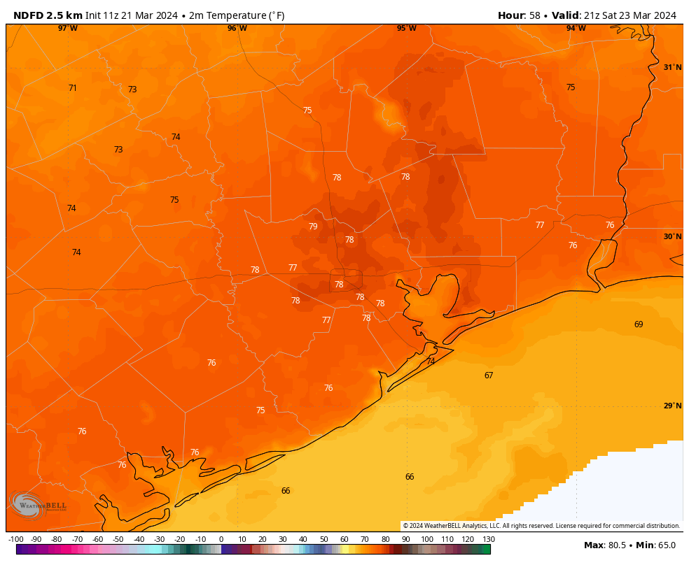
Saturday
A lovely day! Look for highs in the upper 70s, sunny skies, and light northerly winds. Lows on Saturday night will drop into the upper 50s in Houston, and lower 60s closer to the coast.
Sunday
As the onshore flow returns with avengeance, we’re going to see some cloud cover building. This should help to limit highs in the mid-70s for most. Another difference from Saturday will be the wind, from the south. Expect sustained winds at 20 mph, with gusts up to 30 mph. Lows on Sunday night will only drop into the upper 60s.
Next week
Another front, with the possibility of some additional rain and storms, will move into Houston on Monday. At this point the storms don’t look nearly as widespread or strong as what’s happening today, but the forecast could change a bit. This front should set the stage for some lovely spring-like weather next week, with highs generally in the upper 70s, lows in the 50s and 60s, sunny skies and reasonably dry air. Pretty, pretty good.