Summary: Houston will see a couple of warmer days to end the work week, with the possibility of some showers on Friday, ahead of what should be a stellar weekend with some chilly nights. Sunday, especially, looks really nice with plenty of dry air and light winds. Enjoy!

Thursday
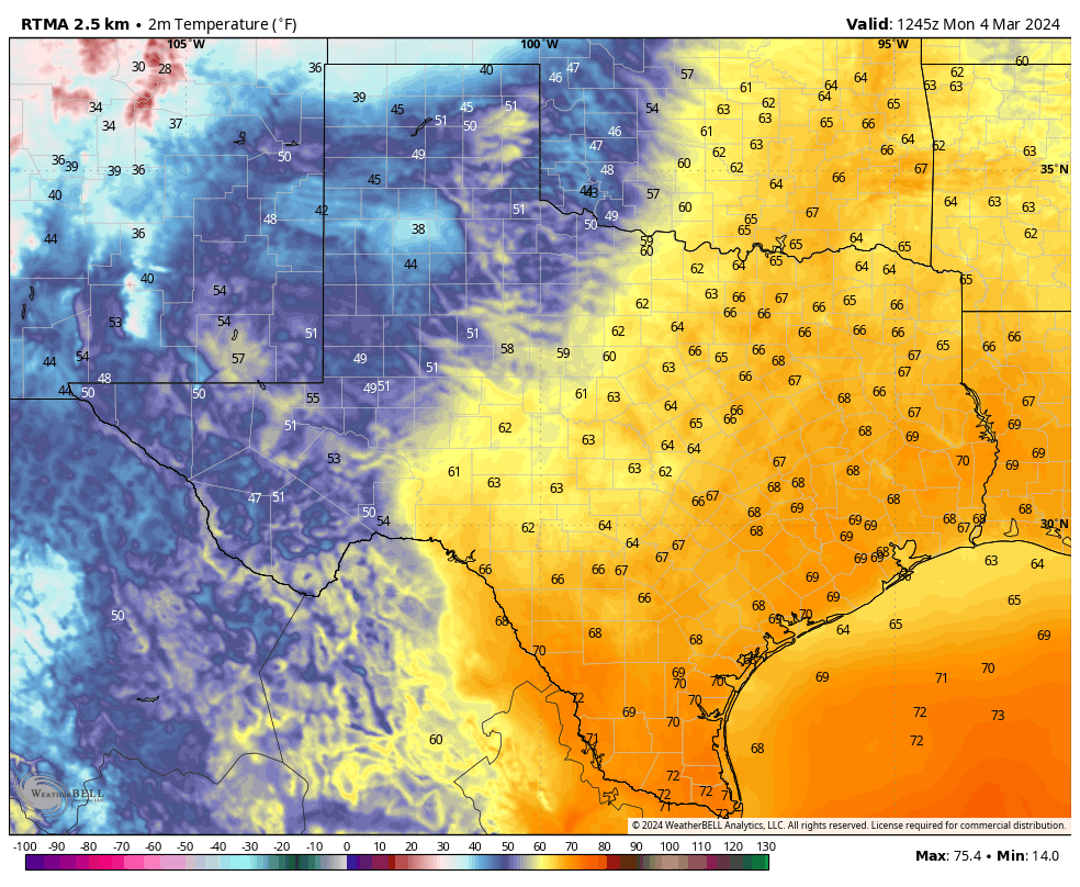
Today will bring partly sunny skies, and this increase in cloud cover should help to limit high temperatures to the upper 70s to 80 degrees. However, in a change from Wednesday—which ended up being a rather pleasant day outside—winds from the southeast will be more pronounced, gusting at times up to 25 mph. This influx of southerly air will pump up humidity levels a bit this afternoon and evening.

Rodeo forecast
We’ll continue to see occasionally gusty winds this evening, but temperatures will remain mild, in the low 70s on the way into the show. I can’t entirely rule out a stray shower this evening before or after the show, but chances are low, likely on the order of 10 percent or so. Lows tonight are only going to drop into the upper 60s, with plenty of humidity. So probably a bad hair night.
Friday
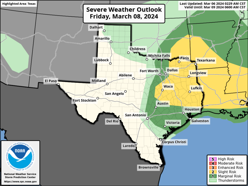
I’m still not particularly confident in the forecast for Friday. The most likely scenario is that a capping inversion holds out, and this prevents the widespread development of thunderstorms in the Houston metro area. In this case, we’d see scattered to widespread light showers during the morning and possibly early afternoon hours, with only slight accumulations. However there is a possibility that the cap breaks, allowing the very moist air at the surface to rise, and yielding the potential for severe weather. I think that chance is low, probably 10 or 20 percent, but it is non-zero. Otherwise, it’s going to be a warm and muggy day to start. Eventually we’re going to see drier air from a front. In terms of timing, I’d guess the front will reach areas such as Katy and The Woodlands on Friday afternoon-ish, and push off the coast by around midnight.
Saturday
We’re likely to start off with cloudy skies on Saturday before the sky starts to clear some during the afternoon hours. Highs will likely peak in the mid- to upper-60s, and we’re going to see breezy conditions during the afternoon hours, with gusts up 25 to perhaps even 30 mph from the north. Lows on Saturday night will likely drop into the upper 40s.
Sunday
This should be a pleasant day with dry air in place, highs in the upper 60s, and partly sunny skies. Lows on Sunday night will again drop into the mid- to upper-40s in Houston with colder conditions inland.
Next week
We’re going to see a warming trend, with days in the 70s, and then possibly about 80 degrees, toward the end of next week. There also is a solid signal for some rain showers on Thursday and Friday ahead of the next front. Perhaps we’ll see 1 to 2 inches of rain? Hard to say at this point.