Good morning. Houston faces the prospect of a wet Friday night before cooler weather prevails this weekend and the first half of next week. And although the modeling remains far from unanimous, the most likely outcome for the Christmas holiday in Houston is mild weather with a fairly decent chance of rainfall.
Thursday
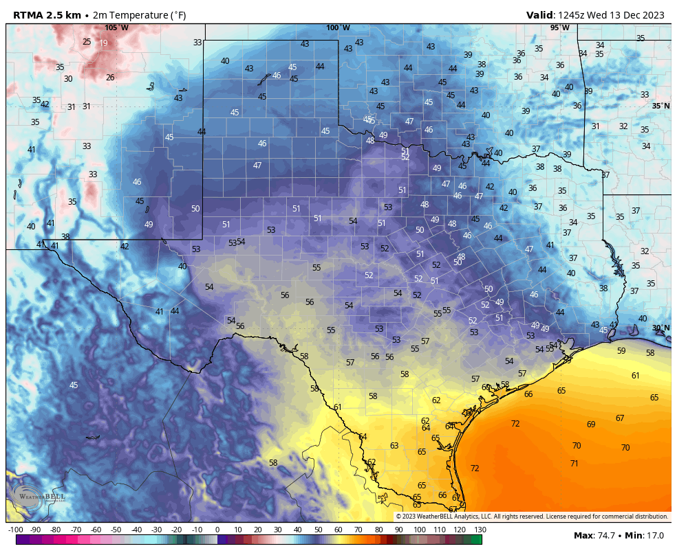
Today will be a fairly mild December day, high temperatures in the mid- to upper-60s. We may briefly see some sunshine this afternoon before clouds build again tonight. Winds will blow from the east, with some gusts up to 15 or 20 mph. That will be piling on moisture into the atmosphere that will support rain showers later on Friday. Low temperatures on Thursday night will only drop into the mid-50s for most of Houston, with slightly cooler conditions further inland.
Friday
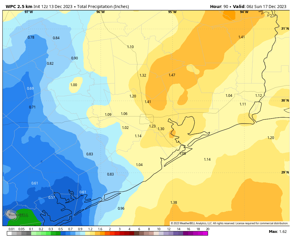
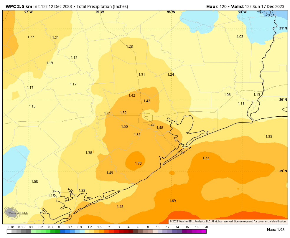
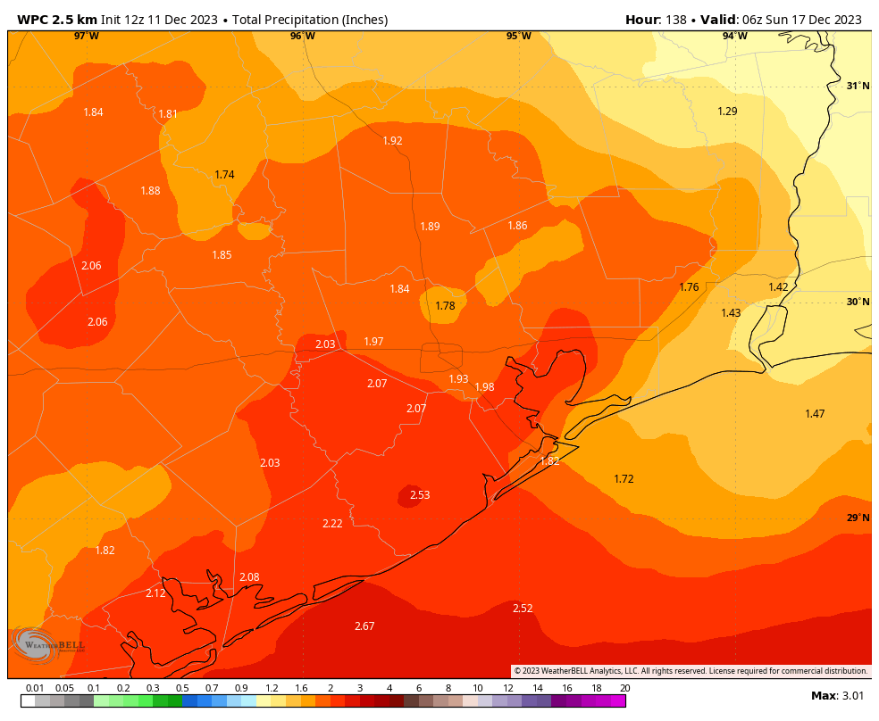
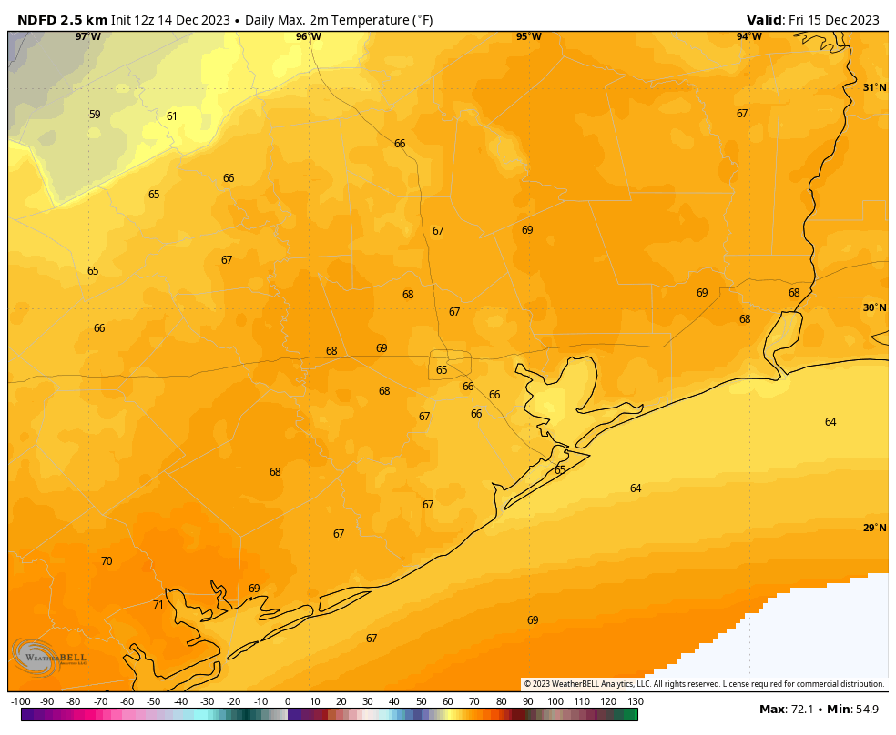
The day will start cloudy, and we’ll probably see high temperatures push into the upper 60s despite the clouds. Some light rain showers will be possible during the morning hours, but the most likely scenario is that any more organized showers won’t push into the Houston metro area until the late afternoon or evening hours. This system will move from west to east ahead of a surface front. Overall rain accumulations for most areas on Friday night will be quite manageable, with 0.5 to 1.5 inches of precipitation. However, there is definitely the potential for some heavy rainfall for isolated areas, and this may briefly cause some street flooding.
Saturday
The front should move through by around midnight or shortly after, and it now appears that this should bring a fairly swift end to our rain chances. We can’t rule out of a few lingering showers on Saturday morning, but I expect they’ll be rather scattered. Look for highs of about 60 degrees, clearing skies, and much drier air as winds blow from the north at about 15 mph, and gust to 25 mph or higher during the daytime. Lows on Saturday night will drop into the 40s.
Sunday
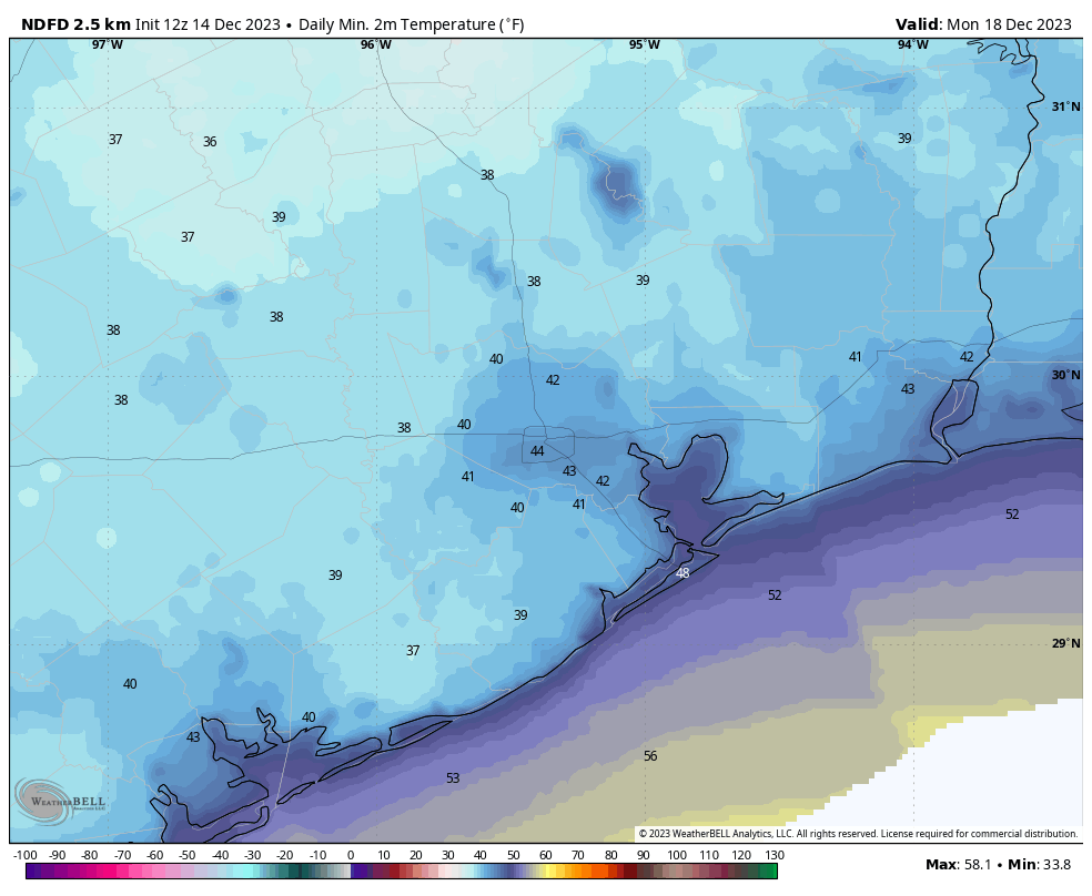
This should be a sunny day, with highs in the low- to mid-60s and plenty of dry air. Winds remain out of the north, but should be slackening. Lows on Sunday night will be chilly, dropping into the low 40s.
Next week
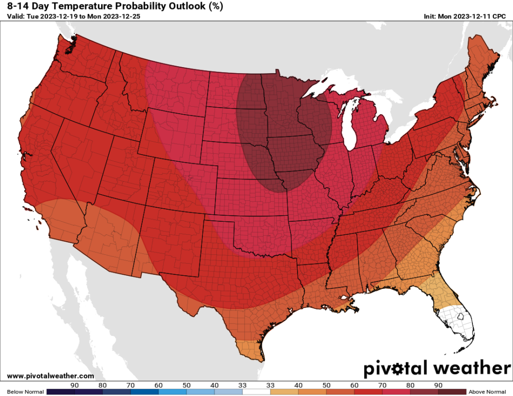
So what’s on tap for the final week before the Christmas holiday? The first half of the work week should generally be sunny and cool, with highs in the 60s and lows in the 40s. Then we’re going to see a moderate warming trend heading into the weekend, with highs perhaps in the upper 60s and lows in the 50s. After that the forecast turns fuzzy, but it does seem as though we’re going to see the return of some rain chances by the weekend, quite possibly persisting through Christmas Eve and Day. At some point the next front will come through, but whether this is just before, on, or just after Christmas Day is simply unknowable at this time.