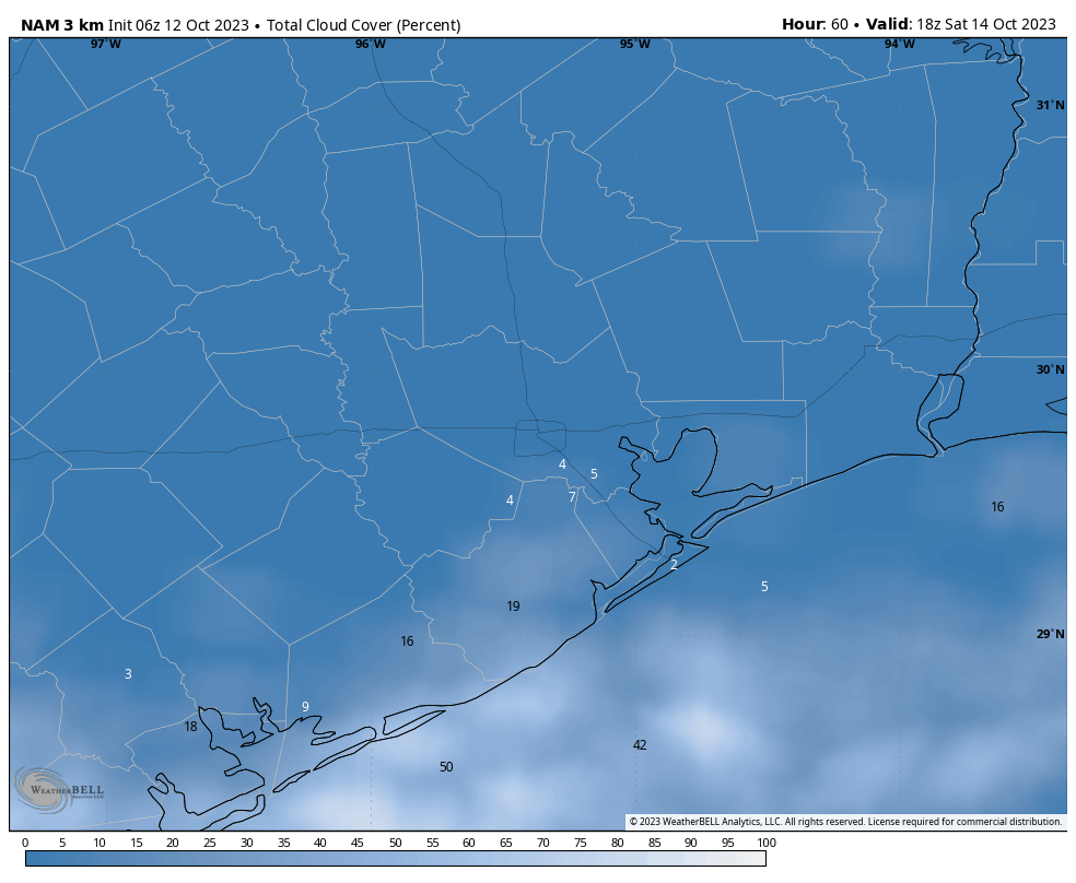
Good morning. After some rainier and cloudier days, Houston will now see lots of sunshine for the next week. Initially, that will lead to warmer conditions, but a cool front will bring us a very nice stretch of fall-like weather for the weekend and through the middle of next week.
The sunshine will be perfect for the annular eclipse on Saturday, which starts at 10:27 am local time, and reaches its maximum at 11:58 am when 90 percent of the Sun’s surface will be covered by the Moon. It will definitely be a little bit eerie out for midday, and your pets will probably be a little confused. Wings Over Houston should also see fine conditions.

The weather also looks ideal for the opening games of the American League Championship Series, with the Astros hosting the Texas Rangers for games on Sunday and Monday. I am forecasting a 100 percent chance of early showers for the Rangers pitchers.
Thursday
After some drier and cooler weather on Wednesday, the flow over the region will turn more southeasterly today, which will bring warmer and more humid air into the region. Conditions today will remain fairly moderate, however, with highs generally in the low 80s with mostly sunny skies. Winds will be light at the surface, at perhaps 5 mph. Lows tonight will drop to around 70 degrees in Houston, with cooler conditions for outlying areas.

Friday
All of that warm air flowing into the region is going to help pump up temperatures on Friday. Much of the area is going to get into the upper 80s, and a few inland locations (at least) are likely to reach 90 degrees. I think there’s a decent chance this is the Houston metro area’s final 90-degree day of the year, but I cannot provide you with a guarantee of that. In any case, a front will arrive overnight to bring a substantial change.
Saturday
We’re starting to get a better handle on the timing of drier and cooler air. The front, with its northerly winds, will likely arrive in places like The Woodlands and Katy before midnight, push into central Houston shortly after midnight, and be off the coast by or before sunrise. The front’s passage will be heralded by northerly winds and a rapid influx of drier air. Rain chances are low to non-existent with the front. Most of the region will wake up to temperatures in the 60s on Saturday morning, with clearing skies. Look for highs around 80 degrees during the afternoon, with lows dropping into the upper 50s.
Sunday
This should be an awesome fall day, with highs in the low- to mid-70s and sunny skies. Lows on Sunday night should drop into the mid-50s.

Next week
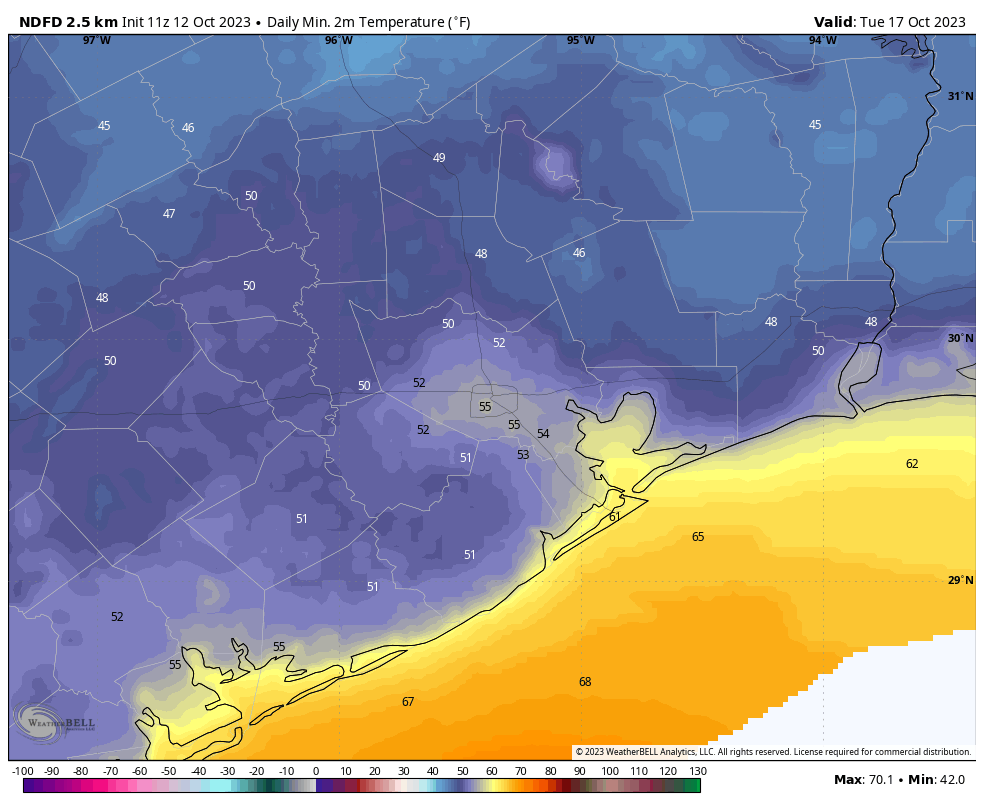
We’re going to see a continued northerly flow through the middle of next week which means that our cool and dry weather will continue. We may, in fact, not see our lowest temperatures until Tuesday morning of next week, when some inland areas may drop into the upper 40s. Rain chances and somewhat more humid air starts to return later on Wednesday or Thursday, but things don’t look to get super hot again. We’ll see.


Hey Eric,
You have some loyal Space City followers who moved here from the Dallas area, and thus are Texas Rangers fans! Might just be some early showers for the Astros pitchers, too…. Go Rangers!!⚾️
“I am forecasting a 100 percent chance of early showers for the Rangers pitchers.”🤣
“Severe Clear” for the airshow!
“I am forecasting a 100 percent chance of early showers for the Rangers pitchers.” Sure hope so!! Go, Astros!!