Good morning. I sure hope you were able to enjoy some time out of doors this weekend. Sure, some people may quibble that the temperature was a tad warm on Sunday, or note that tree pollen levels are rather high. But in terms of two sunny days, with dry air and moderate temperatures, you’re not going to beat the weather we just experienced in Houston. This past weekend sits high on my list of finest weekend weather of the year for 2023.
As for what’s ahead, well, the forecast is pretty vanilla. While we had been expecting a fairly strong front to push into the region toward the end of this week, it now looks like the colder air associated with this system will largely get shunted off to the east of Houston. The bottom line is that our weather will be moderate for awhile.

Monday
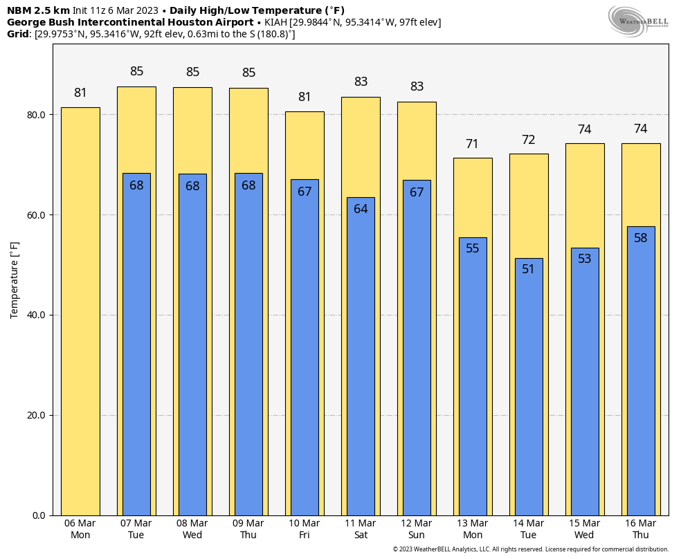
As a warmer, southerly flow returns to the area, we’re seeing some scattered fog this morning as dewpoints and temperatures are the same. Skies will become partly sunny later today, with high temperatures reaching about 80 degrees. Winds will be light, out of the south or southeast.
Conditions for the rodeo this evening will be mild, with temperatures in the mid-70s, light winds, and somewhat humid air. There really are no concerns if you’re heading to the show. Clouds build again tonight with lows only dropping to around 70 degrees in Houston.
Tuesday, Wednesday, and Thursday
These will more or less be the same day in terms of weather. We’re looking at high temperatures in the low- to mid-80s, with a mix of clouds and sunshine. Each day should see slightly progressively stronger southerly winds, with gusts of up to 20 mph possible by Thursday or so. Low temperatures will be around 70 degrees, with cloudy nights. Fog will be possible each morning.
Friday
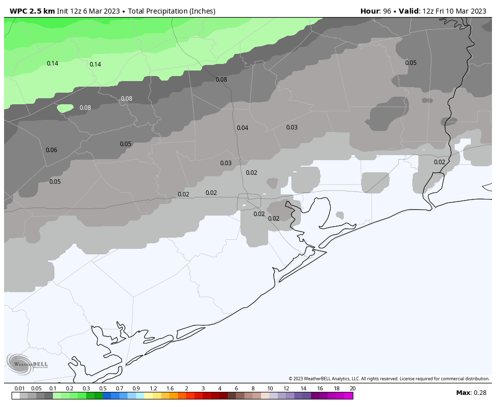
Last week we expected a front to move all the way through Houston by Friday, bringing in substantially colder air. Well, I’m sorry to disappoint those of you who like cold weather, but it’s not happening. Such is the peril of forecasting the weather more than a week out. Rather the front is going to move toward our region and stall out somewhere along or north of Interstate 10, most likely. That means the region will see a decent chance of showers on Friday, as this boundary stalls out. Accumulations look low at this point, but the precipitation forecast remains fuzzy. Anyway, inland areas may see highs in the 70s on Friday, while areas closer to the coast remain in the low 80s.
Saturday and Sunday
The weekend forecast is up in the air, so to speak. It’s possible that a slightly drier air mass moves into the region, and if so I would ballpark high temperatures in the mid-70s, with partly sunny skies, and mild nights with lows around 60 degrees. But we could just as easily remain fairly warm and humid. Put me solidly in the to-be-determined camp.
Next week
It does appear as though some sort of front will make it through about one week from today, and that will usher in cooler and drier conditions for most of Spring Break in Houston. How cool? I’m hesitant to say, but I’d guess we’ll see nights in the 40s or 50s.