Hi all. This is a sponsored post from Reliant, who asked that we share this timely information with readers about smart thermostats and energy conservation. Thanks, Eric.
Eric and Matt don’t believe in hype and at Reliant, neither do we. There has been a lot of misleading talk
in the media and online recently about smart thermostats and how energy companies use this
technology during moments when conservation is needed this summer. Requests for conservation are
not new. They are a valuable tool often used to balance supply and demand, especially during extreme
heat waves like the one we’ve been experiencing. That’s why Reliant wants to be a source of factual
information on this topic.
The main takeaway: Consumers are always in control of their thermostats
Here’s an explanation on the role smart thermostats play regarding energy conservation in Texas:
- Reliant’s demand response programs reward customers for reducing their usage and conserving energy during periods of high electricity demand, which ultimately helps reduce the load on the Texas electricity grid and helps customers save money by consuming less. Electricity customers must sign up for and agree to participate in a demand response program.
- At Reliant, our program is called Degrees of Difference and it rewards customers with a bill credit for the small changes they make to reduce their usage during designated events, which are communicated to customers in advance.
- Here’s how it works: Customers with smart thermostats have the temperature automatically adjusted by no more than four degrees during these designated events, which last no more than four hours. However, customers always have ultimate control over the temperature in their homes and can override any adjustments.
- A do-it-yourself version of this program is also available to Texans with manual thermostats who are interested in receiving bill credits for adjusting their usage.
- Demand response programs are separate from the customer’s electricity plan and opting in or out is easy. Customers who no longer want to participate can unenroll online or by calling our call center without penalty, cancellation fees or having to cancel their existing electricity plan.
- We’ve also reviewed other similar demand response programs across Texas and haven’t found ANY that don’t allow customers to adjust their temperature or penalize them for opting out.
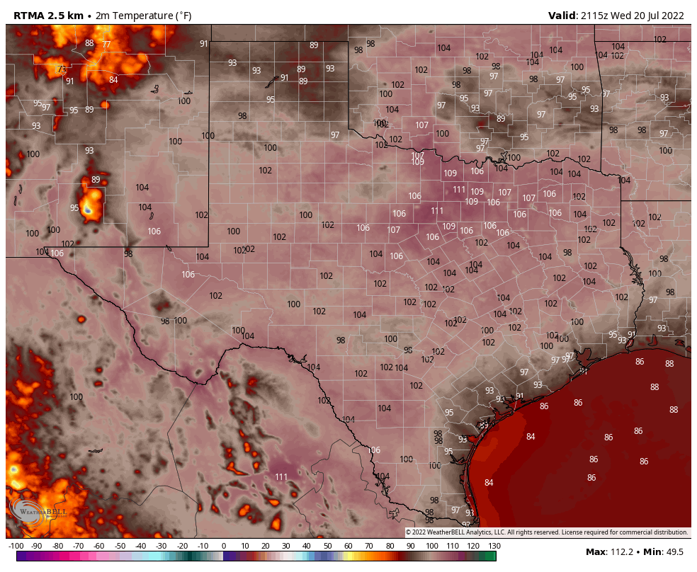
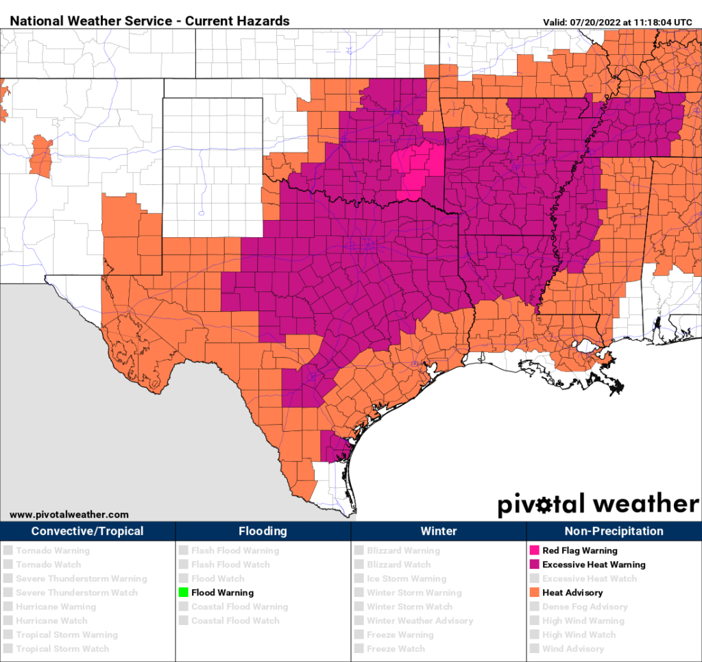
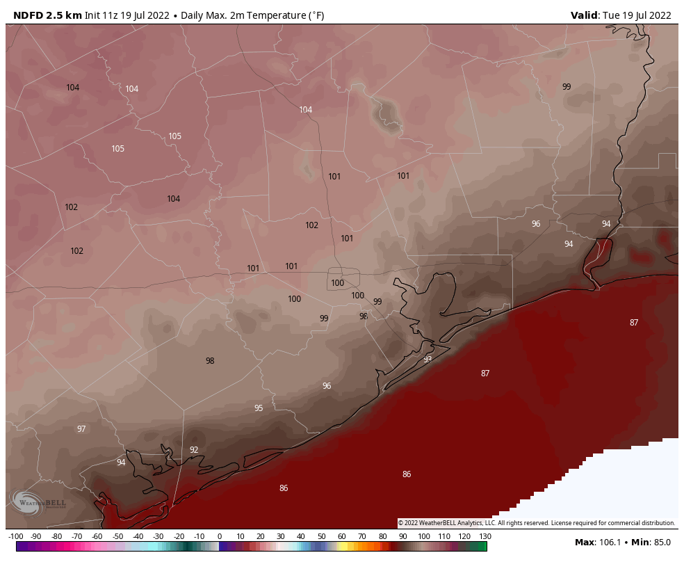
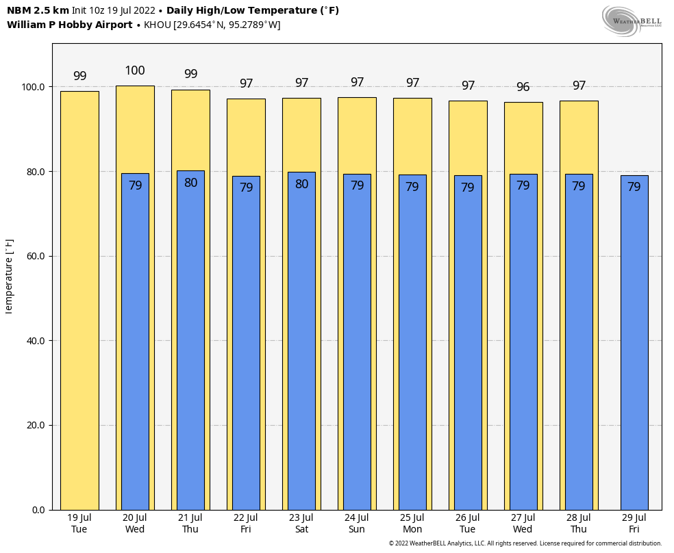
With high temperatures continuing this week and beyond, we felt it necessary to be clear on how these
programs operate and remind Texans they are always in control of their energy usage.
Stay cool, SCW readers!