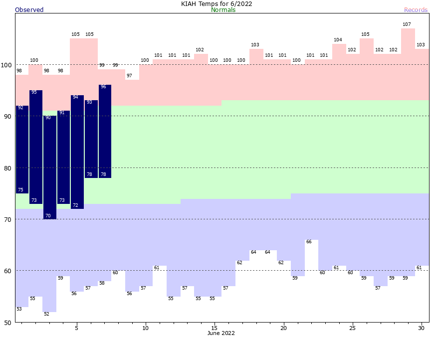
Good morning. This is Eric, and I’m back from an extended weekend at a family reunion in southeastern Missouri. I must say that I enjoyed one day with a cool morning last Friday, with a daily high in the low 80s, before high pressure pushed temperatures there into the upper 90s. So my break from the heat was short-lived, but still better than nothing. As for Houston’s weather, well, not much has changed since I left town nearly a week ago. And not much is going to change in the next week. After that? Maybe. But just maybe.
Wednesday
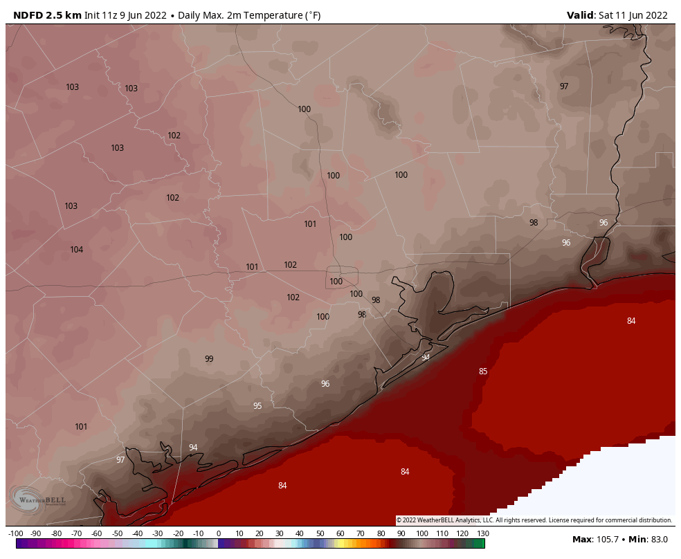
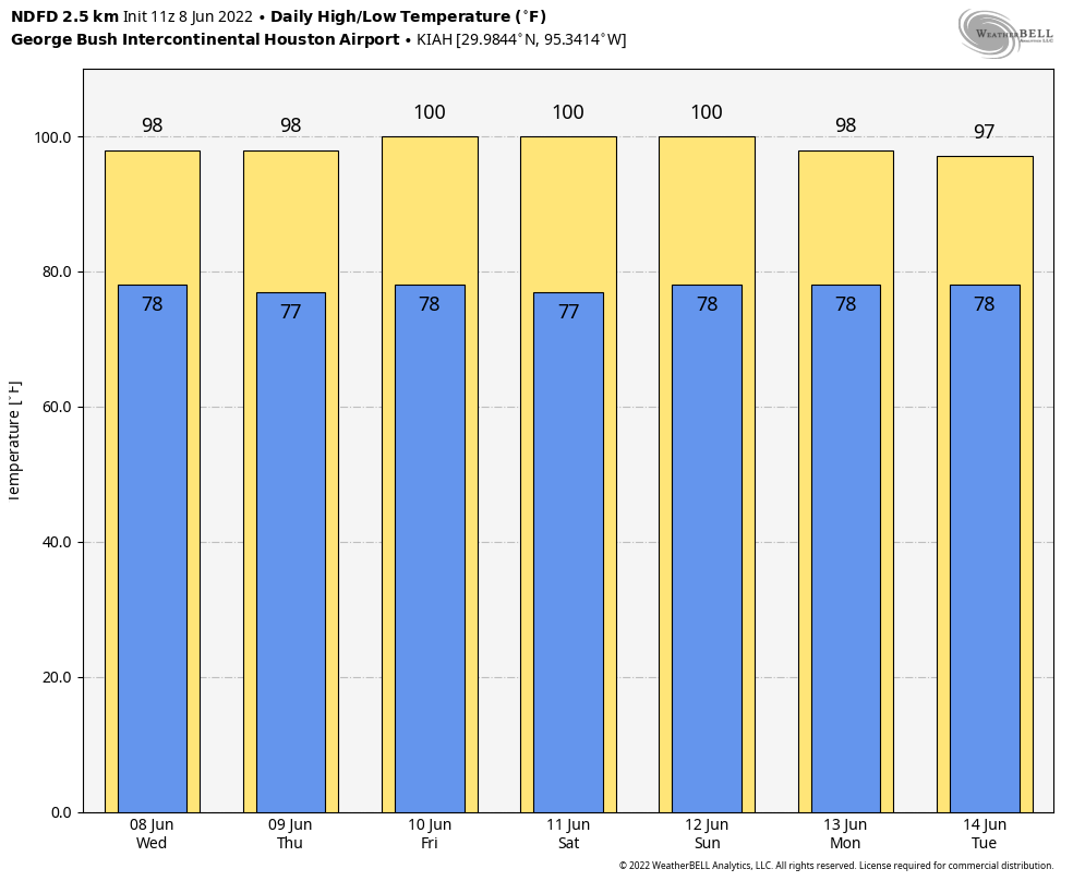
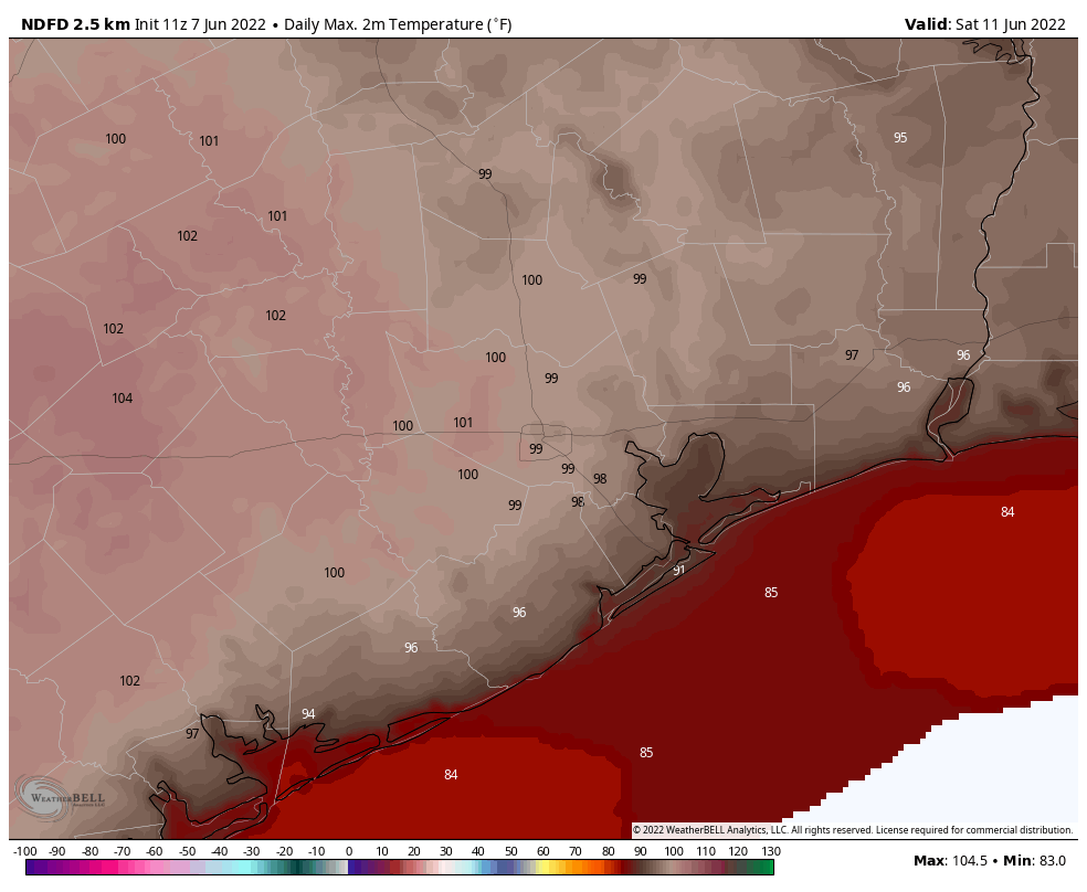
High pressure anchored over the southeastern United States will still be the driving factor for our weather for awhile, but high temperatures today should “only” get into the mid-90s for much of the region. Skies will be mostly sunny, with light southerly winds at 5 to 10 mph. Overnight lows won’t fall much below 80 degrees, at all, for inland areas. The coast will remain above 80 degrees.
Thursday and Friday
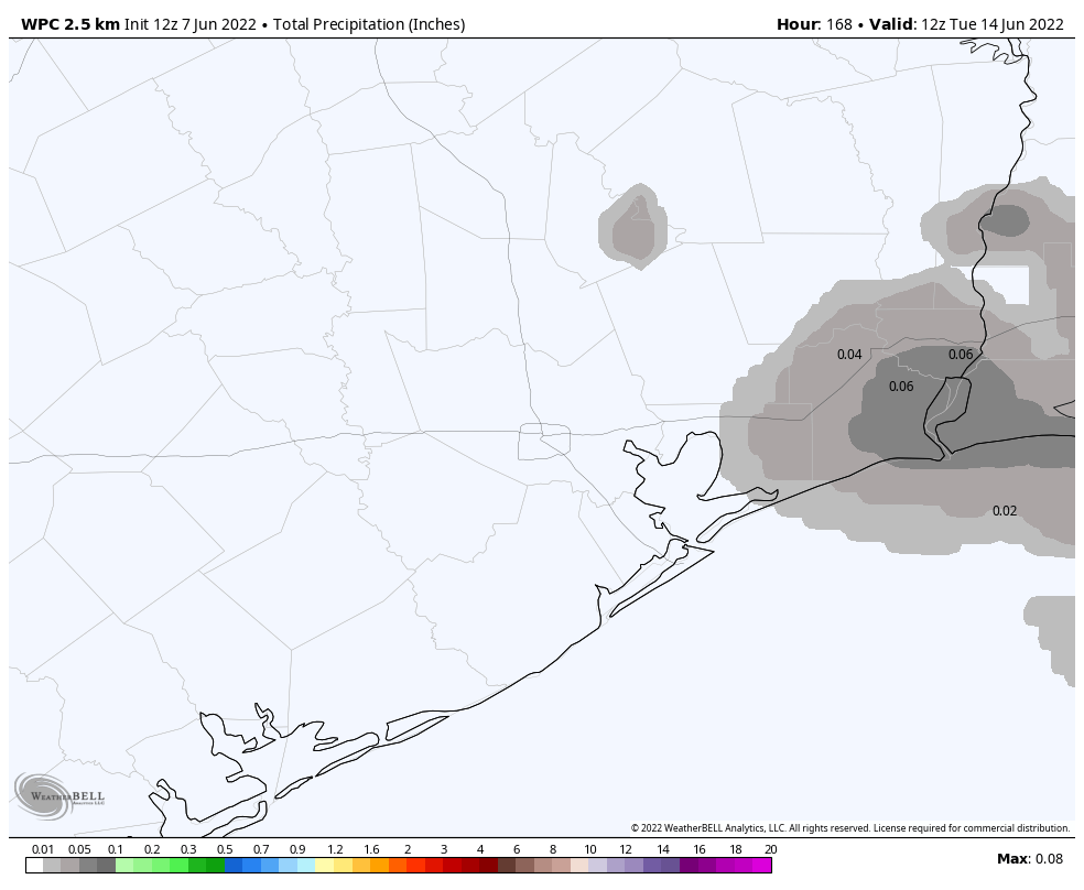
Most of the Houston region has yet to record even a scintilla of rainfall during the month of June and that’s unlikely to change on Thursday and Friday. However, as atmospheric moisture levels jump a bit, there will have about a 20 percent chance of rain showers each day, primarily during the afternoon hours due to the sea breeze. I think there’s even a slight chance that a few of these showers will pulse up and, however briefly, drop some heavier rain for a very few lucky areas. Will you win the rainfall lottery? Otherwise, expect highs in the mid- to upper-90s on both days with mostly sunny skies.
Saturday and Sunday
Both weekend days will be sunny and hot, with temperatures in the upper 90s. If you are out and about celebrating Juneteenth on Sunday, please do take precautions both from the heat and sunshine. We are very nearly at the longest day of the year (June 21), which means the Sun is the highest in the sky. As a matter of fact, between 1 and 2 pm during the afternoon, the Sun reaches an altitude of 84 percent, meaning those solar rays are passing through almost no atmosphere before they reach your skin. (If you’re curious, the Sun’s peak altitude during the shortest winter day in Houston is just 37 percent).
Next week
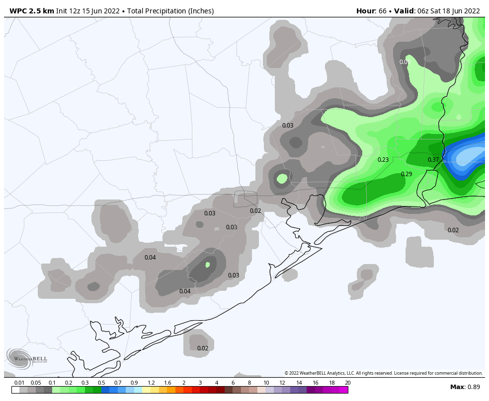
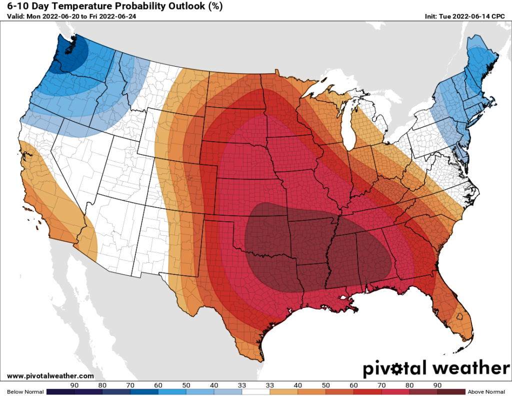
The overall pattern does not change much during the first half of next week, I am afraid. But after that point there is the potential for an increase moisture to move in from the Gulf of Mexico, and possibly raise the chances of rain from 0 to something measurable. Temperatures still look very hot, with highs in the upper 90s most likely.