Good morning. If you were surprised by the widespread nature of showers and storms on Saturday and Saturday evening, you’re not alone. The forecast for Saturday—we expected sunshine and dry air to prevail—was a total bust. Matt did an analysis of the event on Twitter, and summarized the situation as follows, “Yesterday in Houston was one of the most impressive forecasting busts I’ve witnessed & been part of in a long while.” Needless to say, we’ll learn from this.
Monday
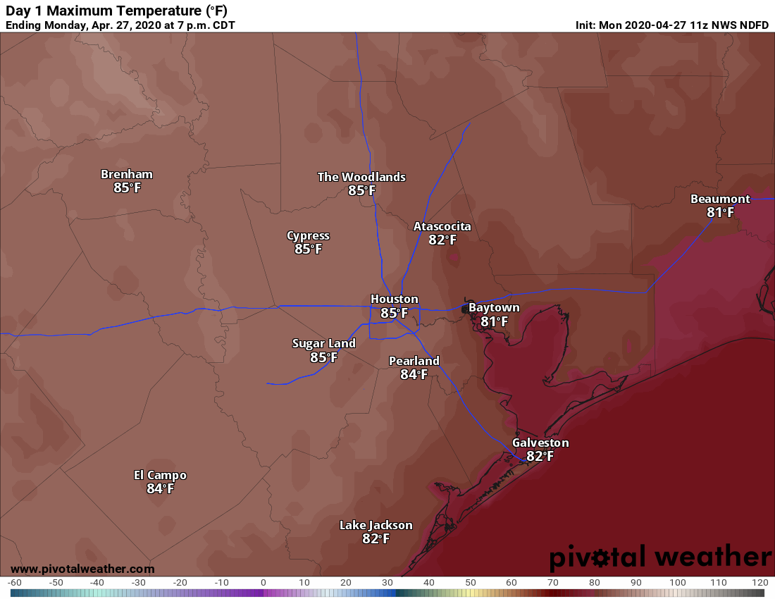
Houston is enjoying a pleasant morning, with lows down near 60 degrees in the city. Today should be another sunny affair, with highs pushing into the mid-80s. Humidity will be much more noticeable, as winds really pick up from the south, possibly gusting to 20mph. As a result of this more southerly flow, clouds should build tonight, and this should help prevent low temperatures from falling much below 70 for the area.
Tuesday
Clouds will remain on Tuesday, but highs will still get into the mid- to upper-80s as a warmer pattern prevails. Winds will still be active, blowing out of the south at about 15mph. A few scattered showers are possible Tuesday, but the better rain chances will probably hold off until the overnight hours.