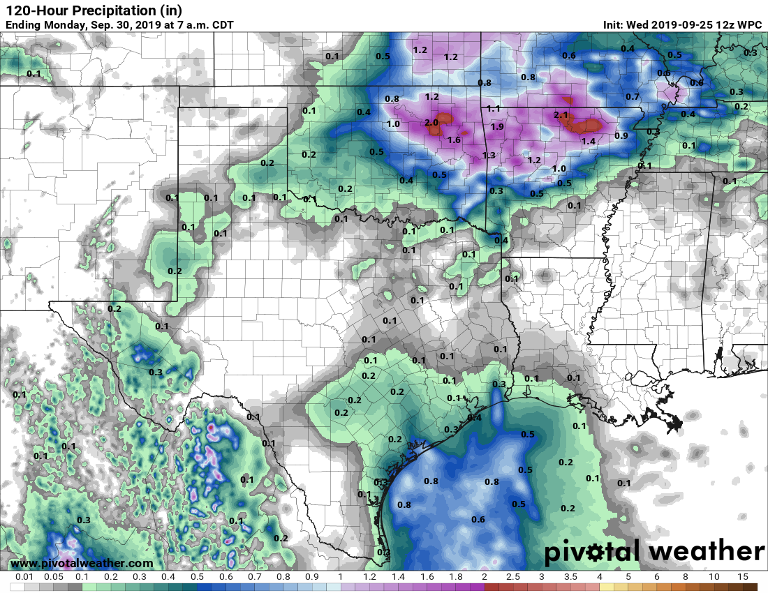
Houston will remain in a late-summer pattern for the next week to 10 days—it seems like we’ve been saying that forever—but we can only write about the weather we’re given.
Thursday
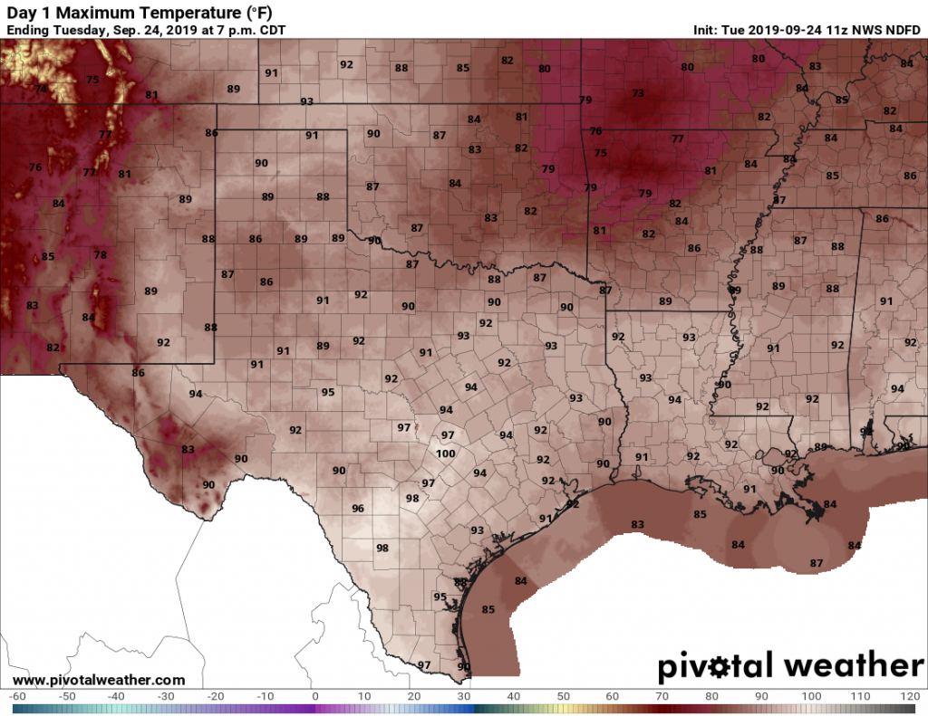
We’re going to have one more warm and sunny day today, similar to Tuesday and Wednesday. Highs will be around 90 degrees, although areas well inland may be a bit warmer than that. This should provide the region one more good day to really dry out.
Friday
Rain chances will pick up a bit on Friday, as a weak tropical disturbance moves toward Mexico and brings increased moisture levels into the Texas coast. Any showers should be relatively brief, and the day should otherwise have partly sunny skies with high temperatures around 90 degrees.
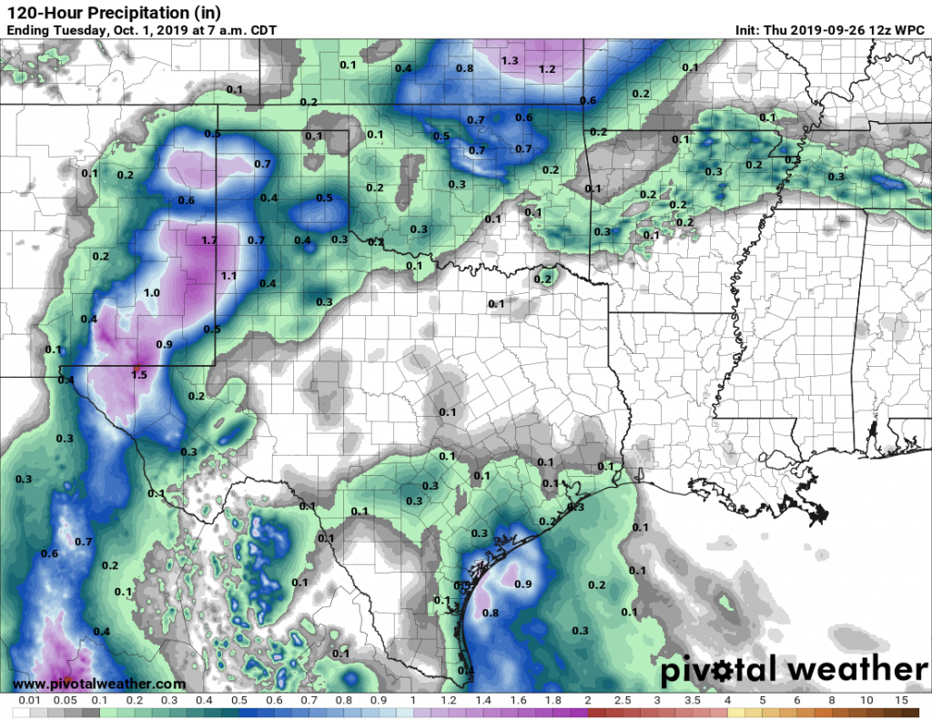
Saturday and Sunday
As moisture levels peak on Saturday, we are likely to see rain chances push up to around 60 percent for the coast, and 40 percent for inland areas. Again, showers should be fairly transient, although they could certainly bring some intermittent downpours to the area. Most of the region should see 0.25 to 0.5 inch of rain, although the coast could see up to 1 inch. Rain chances begin to slacken on Sunday, but do not go away entirely. Expect highs of around 90 degrees.
Next week
High pressure returns by Monday or so, which should shut down rain chances for the most part, at least into the middle of next week. It will remain warm. After that time? Who knows. The weekend of October 5th may see another surge of Gulf moisture, or, if we get lucky, the arrival of the region’s first cool front. It’s hard to have confidence in either forecast.
Tropics
We really have no significant concerns with regard to the Gulf of Mexico right now.

