Good morning! Our Wednesday post is coming to you quite a bit earlier than usual as both Matt and I are traveling. In this case, I’ve gone west on assignment, and it’s easier to post at night than in the morning. Bottom line: you can expect the same weather forecasts, with new-and-improved time zones. (We’re both back in Houston this weekend).
Wednesday
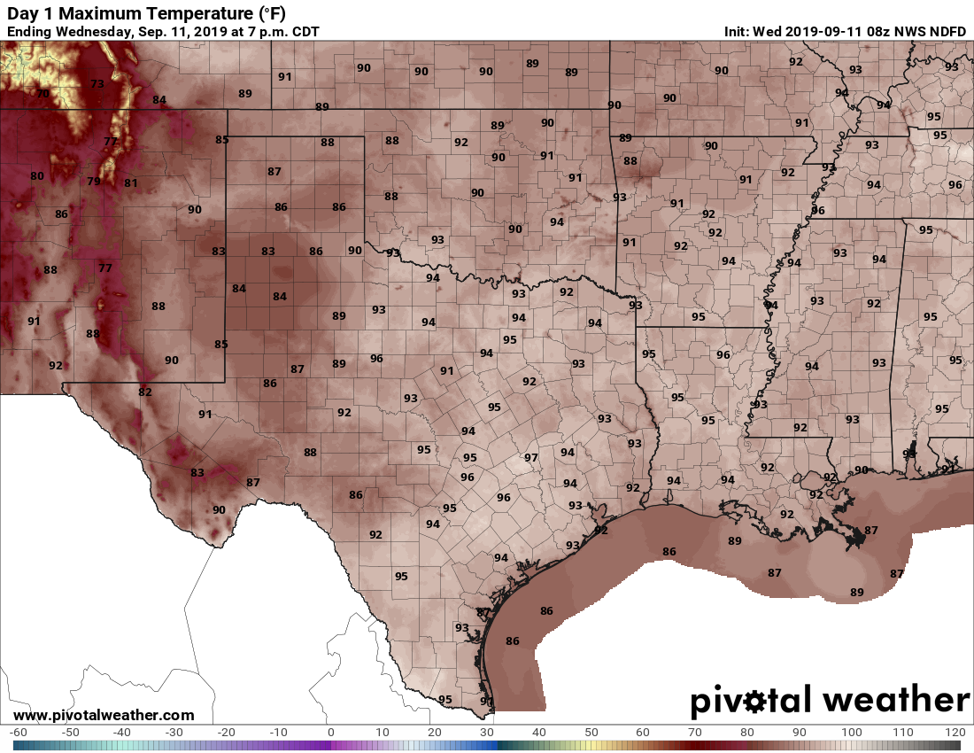
If you liked Tuesday, have we got a deal for you—conditions on Wednesday are likely to be similar, albeit with temperatures perhaps a few degrees cooler. Yesterday, we mentioned the possibility of brief, strong storms and that’s precisely was some areas in the Brazos Valley got on Tuesday with some strong winds and heavy rainfall. Similar conditions will be possible in Houston on Wednesday, but it’s hard to peg where. Generally, I think we’ll see scattered storms pop up closer to the coast before noon, and then steadily migrate inland during the afternoon. Some thunderstorms may be pretty strong, but should not persist too long. Look for highs in the mid-90s.
Thursday and Friday
As high pressure begins to take hold we probably can expect rain chances to fall off to around 20 percent. Highs should make it into the mid-90s under mostly sunny skies.