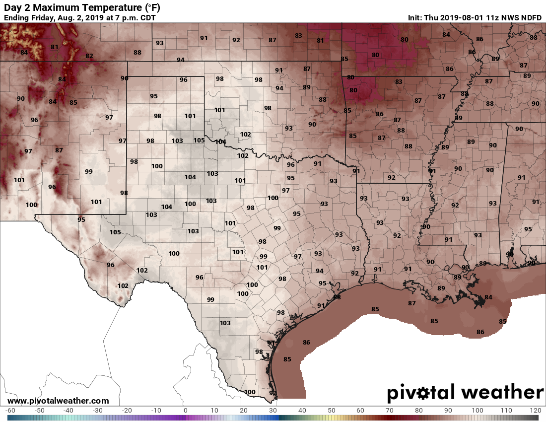
Well Houston, we’ve made it to the end of another work week, and it is now day two of August, 2019. The calendar informs me we have 30 more days until we reach September, and at least the potential for a fall cool front. Unfortunately, for at least the next week or 10 days it’s going to feel very much like August outside—especially during the latter half of next week.
Friday
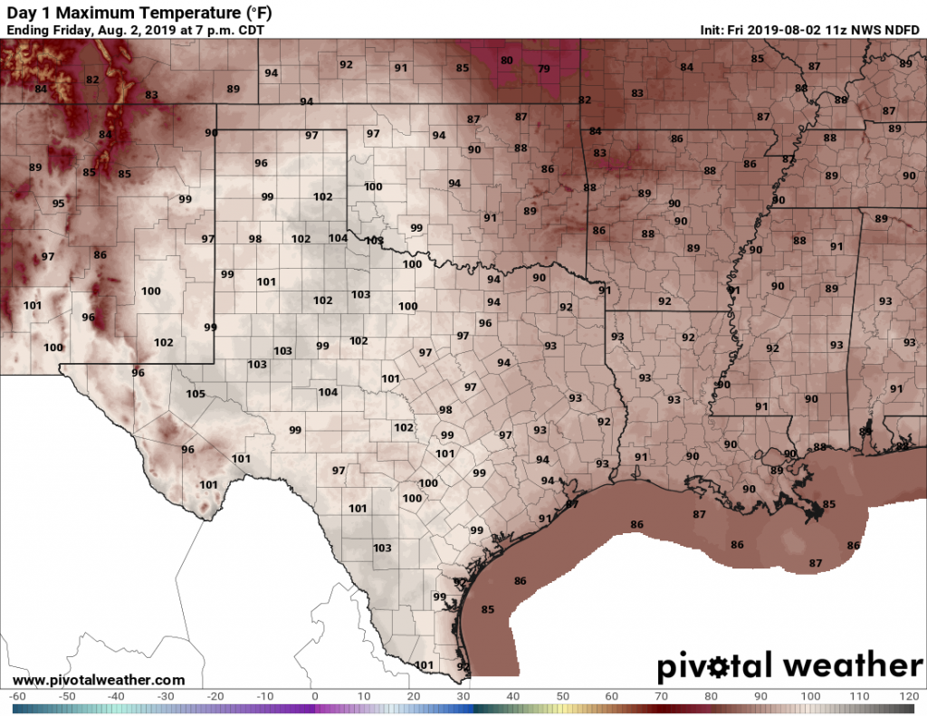
If you liked the weather conditions on Thursday, then you’re in luck, because Friday is going to be similar. High temperatures will nudge up into the mid-90s, with partly sunny skies. Light winds will offer no relief from the heat. Humidity will be the usual for Houston in summer.
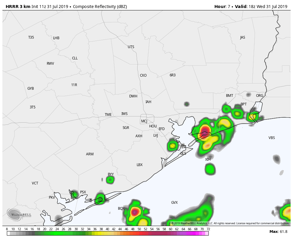
Beginning around 2pm and running through about 8pm we should see showers pulse up across the Houston area as the sea breeze nudges inland. Perhaps about one-third of the region will see rain from these scattered storms, and amounts will vary from between a few drops and perhaps one-half inch or more. Any storms should wind down this evening, with another warm night for the region on tap.