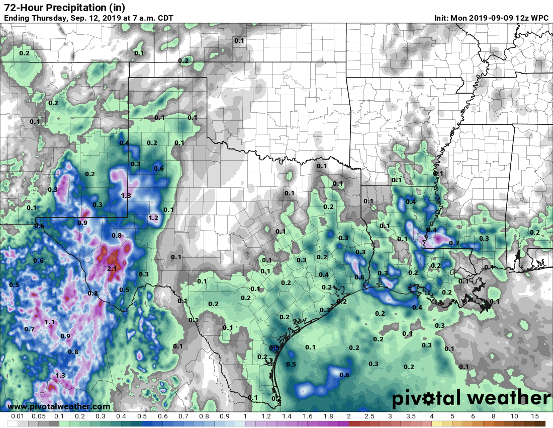
It had not rained in September in Houston—at all—until a few areas saw some showers and thunderstorms this morning. Places like Oak Forest picked up about one quarter of an inch. This is indicative of an area of low pressure in the mid-levels of the atmosphere that will bump up rain chances over the next few days. Not everyone will get rain, but certainly this is the region’s best chance in more than 10 days.
Monday
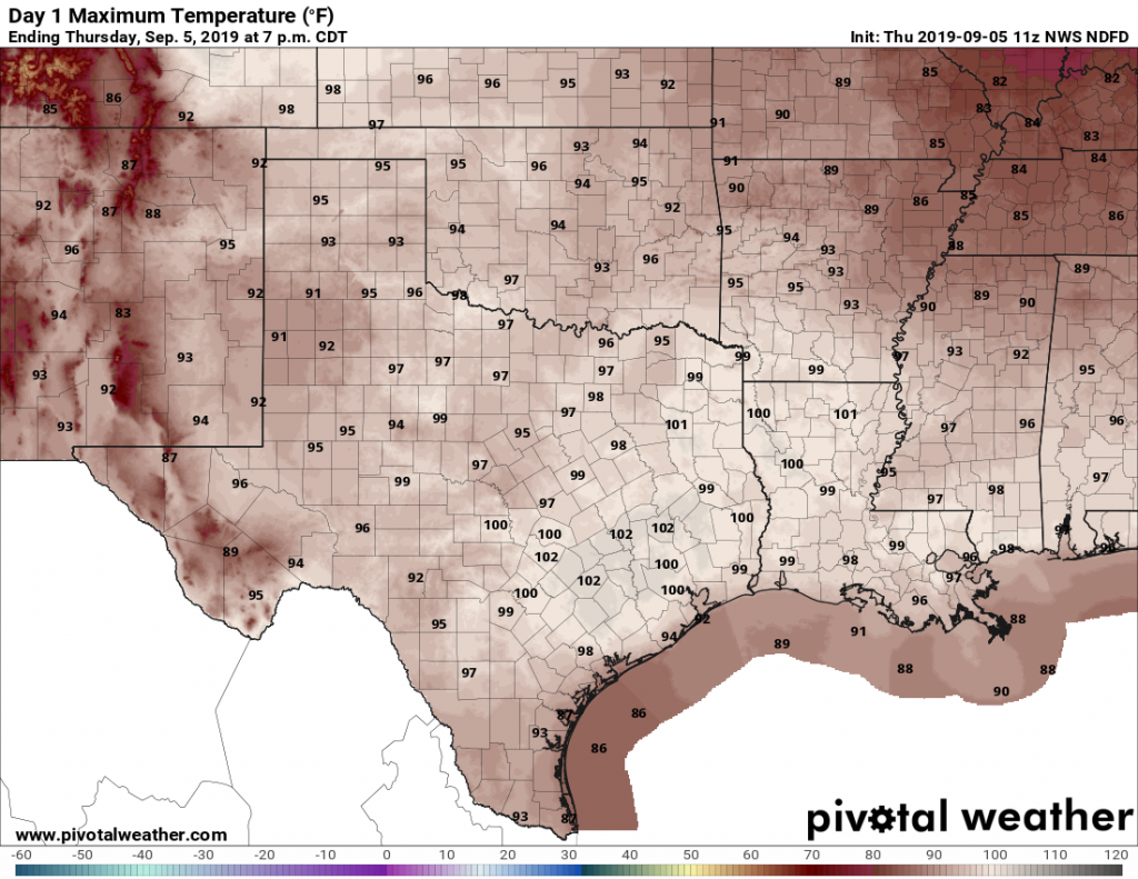
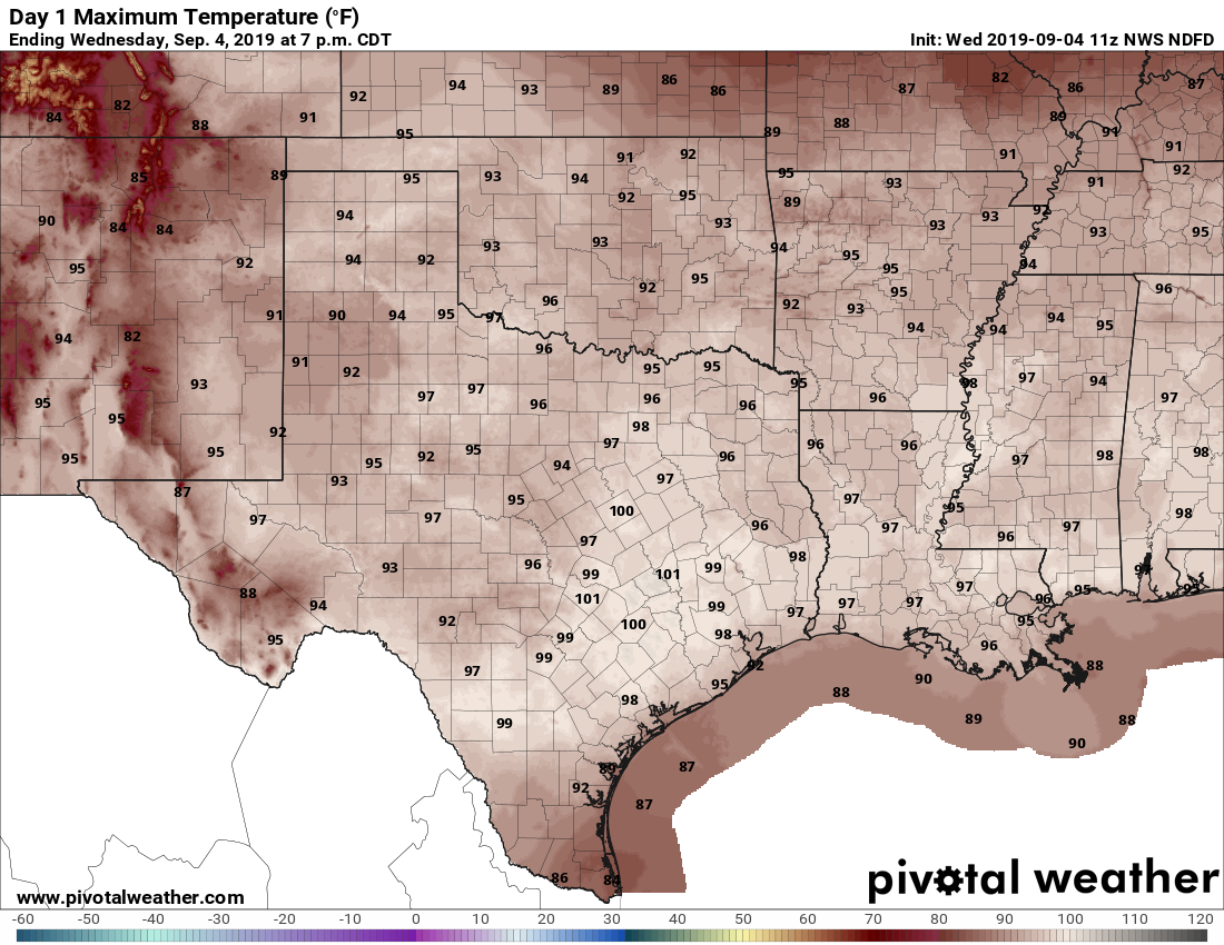
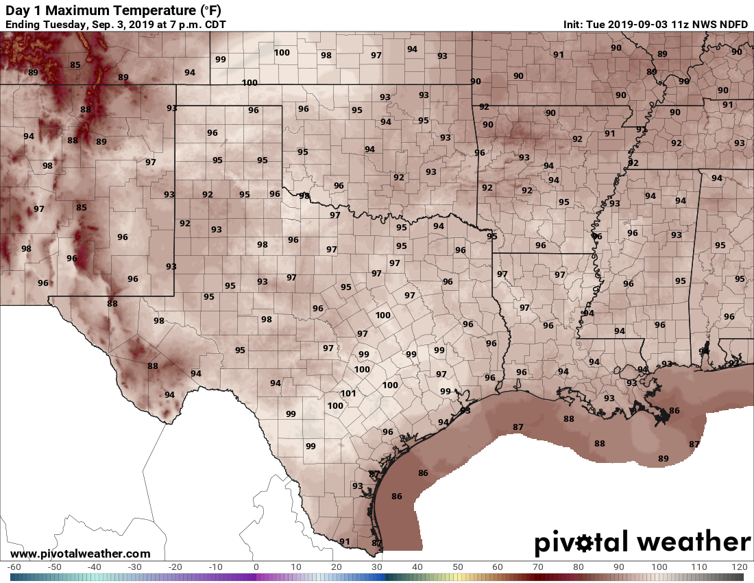
It’s difficult to say what conditions will be like today. Some of the forecast models are pretty aggressive with rainfall later today, especially east of Interstate 45. Others show almost no development. Helpful, isn’t it? I’m going to side with the more bullish models and say the region has a healthy 40 to 50 percent chance of rain, especially during the afternoon hours. Some clouds should help cap high temperatures today in the mid-90s.
Tuesday and Wednesday
Whatever happens today should provide some better guidance for what occurs on Tuesday and Wednesday, but right now I’d peg both days as having about a 40 percent chance of rain, with high temperatures in the low- to mid-90s.