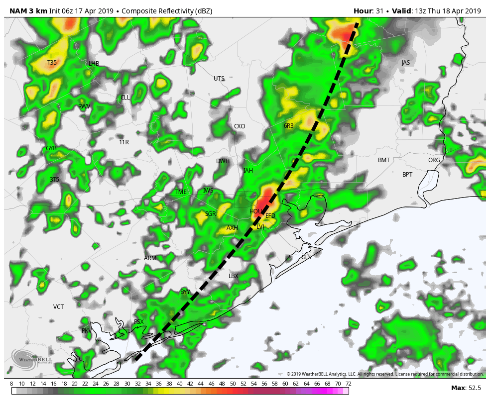
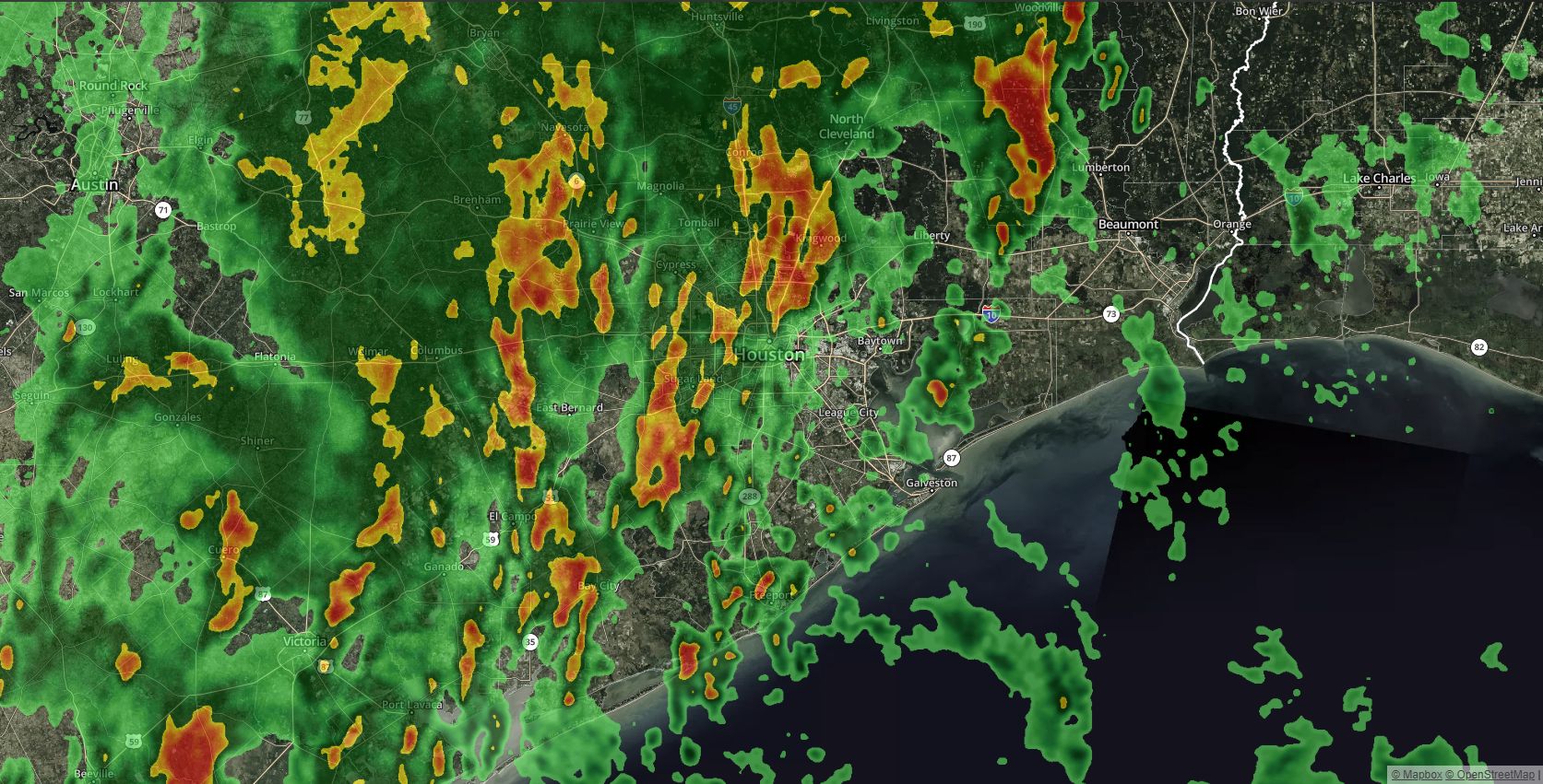
Storms are rolling through Houston this morning, along a front that will bring intermittent thunderstorms. The primary concern during the morning hours, until about noon, will be brief periods of heavy rainfall—but we don’t anticipate any severe weather such as hail or tornadoes. Some areas of west Houston have received as much as 1 inch of rain as of 5:45am this morning, and an additional 0.25 to 0.75 inch is possible this morning. Very briefly flooded streets are the only real concern. High resolution models show this system clearing from 9am to noon, from west to east, across Houston.
Thursday
Today will be a day of two parts. After this morning’s showers and thunderstorms, we’ll see strong, northwesterly winds move into the region from the west that could gust up to 25 mph this afternoon. Skies should clear out, and depending on how much sunshine the area receives, highs could get up to around 80 degrees. Conditions tonight should be breezy, with mostly clear skies, and highs generally in the 50s across Houston. Winds again will be the story, with gusts perhaps up to 30mph, especially for coastal areas.
Friday
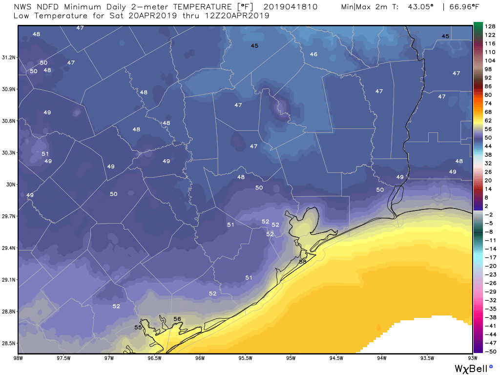
This will be a sunny, breezy, cool (for April) day with high temperatures likely in the mid-70s. We could see some wind gusts during the afternoon hours in the 20-25 mph range, but otherwise the weather should be splendid, with dry northerly air. Lows Friday night may fall into the upper 40s for well inland areas, but likely will be around 50 for most of the area.