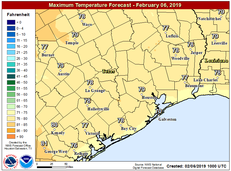
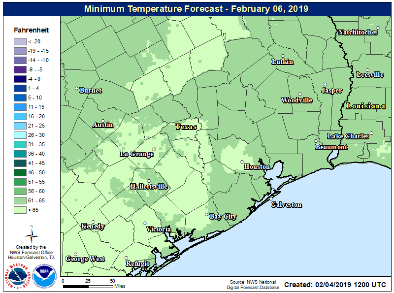
The region’s anomalous warmth continued on Wednesday, as the city set a record high temperature of 82 degrees for February 6, breaking the mark of 81 degrees set in 2017. This also marked the first time Houston recorded a daytime temperature of 80 degrees or warmer this year. Lows this morning have only dropped down to around 70 degrees—more typical of late May or early June than this time of year—but this mid-winter warm spell will finally end today as a cold front sweeps through the area.

Thursday
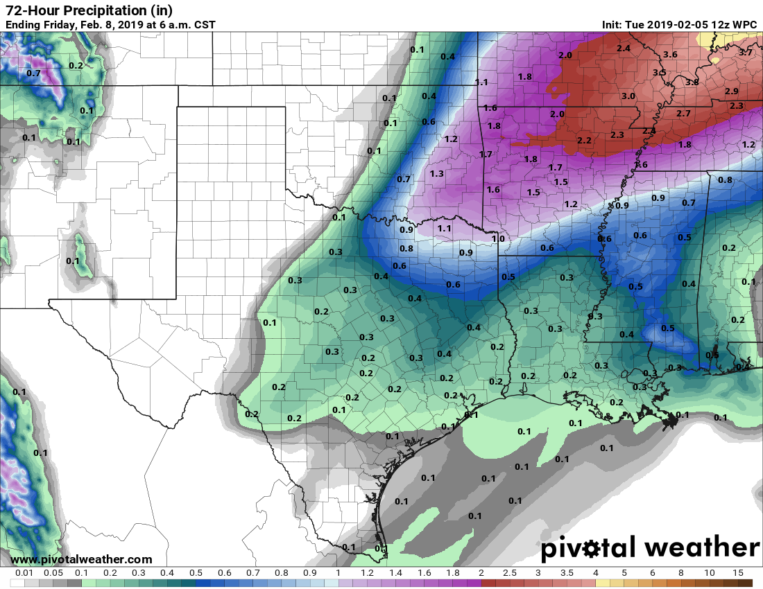
Patchy fog has developed near the coast this morning, but for the most part coverage is thin inland due to some moderate surface winds mixing things up. The front should reach areas northwest of the region this morning, push through the city itself around noon-ish, and move off the coast this afternoon. In terms of rainfall, we’re still looking 1 to 3 tenths of an inch of rain, with the potential for some thunderstorms near the frontal passage. It’s probably not a bad idea to send your kids to school with a sweater for this afternoon, but temperatures aren’t really going to start falling until around sunset. Winds will gust this evening at or above 20mph, and lows Thursday night will drop into the low 40s, generally.