Temperatures are very cold this morning across the Houston region, ranging from near freezing for inland areas to around 40 degrees right along the coast. Gusty, northerly winds have pushed wind chill temperatures into the upper 20s for most of the area, so please bundle up before heading out today. Much of the region will see a freeze on Monday night as modified Arctic air spills into the region.
Monday
It will be cold all day. Clouds should hang around for most of today, before some clearing this evening, keeping high temperatures to around 40 degrees. High pressure over the central United States will continue to drive strong northerly winds for most of today, with gusts of around 20 mph, so wind chills will likely remain in the 30s all day. Some light, misty rain will be possible, especially near the coast, but accumulations should be near zero. In short, it will be extremely cold for early March. As skies clear tonight we will see ideal conditions for cooling, and a freeze may well extend into the central Houston area.
Rodeo weather

Well, it’s going to be chilly. Temperatures at 6pm will be around 40 degrees, with rain chances near zero, and fading northerly winds. Not much will change after the rodeo is over, although skies may well be clear after the show. So you might be able to look up and see a few stars as you’re shivering your way back home. Please dress warmly.
Tuesday
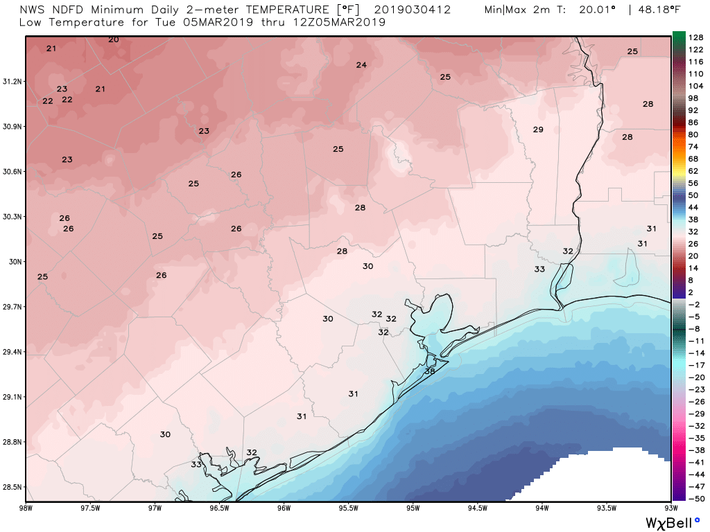
A cool, sunny day, with highs of around 50 degrees. With clear skies Tuesday night, the Houston region should see conditions ranging from a light freeze for some areas of Montgomery County down to around 40 at the coast.