Houston appears to have set a record for a “high minimum” temperature on Tuesday, February 5th, when the low temperature at Bush Intercontinental Airport only fell to 68 degrees—breaking the mark of 67 degrees set in 1927. This morning temperatures are warmer still at the airport, with lows only bottoming out at 71 degrees as of 6:15am. Another record minimum therefore seems likely, and Wednesday’s high temperature may well threaten the daily high for February 6 (81 degrees, set in 2017). A front on Thursday will abruptly end the anomalous warmth.
Wednesday
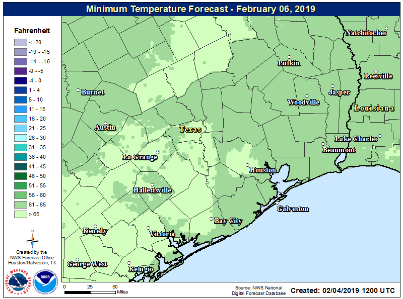
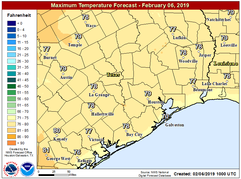
We can expect another warm and mostly gray day, much like we’ve already experienced this week in Houston. Highs should reach the upper 70s across the region, although we can’t rule out Houston’s first 80-degree mark if there are enough breaks in the clouds this afternoon. Slight rain chances will linger, but they should be only 10 to 20 percent for most of the area, with very light accumulations. Mostly just gray and warm today therefore, with south winds on the order of 10 to 15mph.