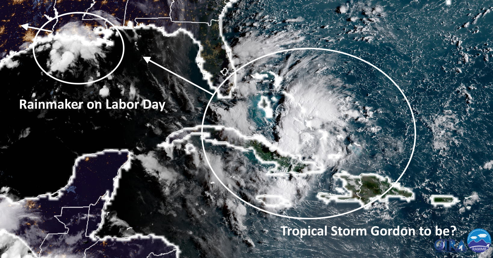
Well, it’s Labor Day in Houston, and unfortunately some outdoor activities are likely to be a washout during the middle of the day. The good news, however, is that our overall concerns about the potential for heavy rainfall during the next seven days have lessened. So let’s discuss conditions today, and then later this week as Tropical Storm Gordon moves into the northern Gulf of Mexico.
Labor Day rains
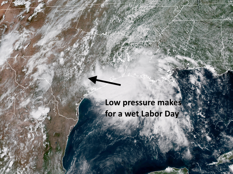
Houston, so far, has mostly been dry overnight. The heaviest rainfall overnight has come to the east of Houston, from the east side of Galveston Bay to Beaumont and Lake Charles, where there are several flood warnings. This is where the greatest risk will remain this morning, although some of the heavier showers are now pushing into coastal areas south of Houston, including Galveston, and up the Highway 146 corridor into Baytown. High resolution models suggest these showers will fill into more of the Houston area later this morning, and early afternoon, as a broad low-pressure system moves over the area.
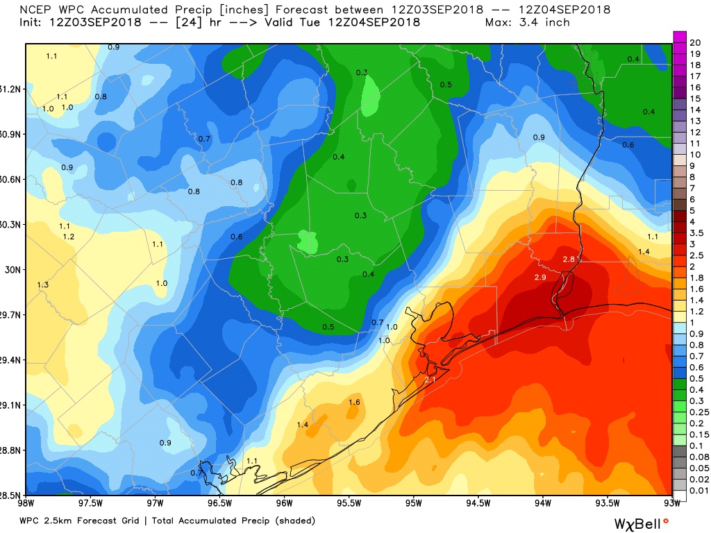
However, our overall concerns for flooding today remain fairly low in Houston, especially for areas away from the coast and Galveston Bay. Street flooding may be a problem beneath the heavier storms, but for the most part rains will be entirely manageable. A Flash Flood Watch remains in effect through 7pm for Houston, but rain chances should fall off later this afternoon—if you’re planning a Labor Day cookout this evening I’d be reasonably confident in good weather—and during most of the overnight hours before scattered to widespread showers return Tuesday. This may bring an additional 1 inch or less of rainfall to the region.