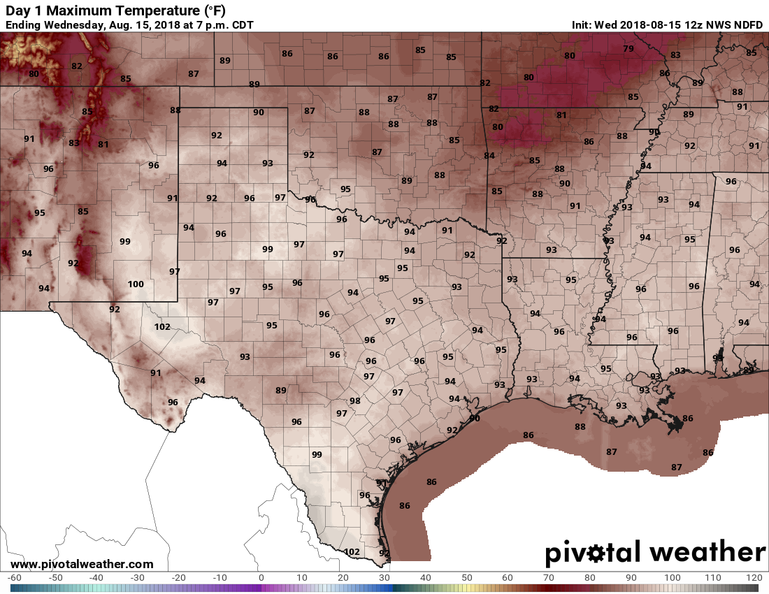
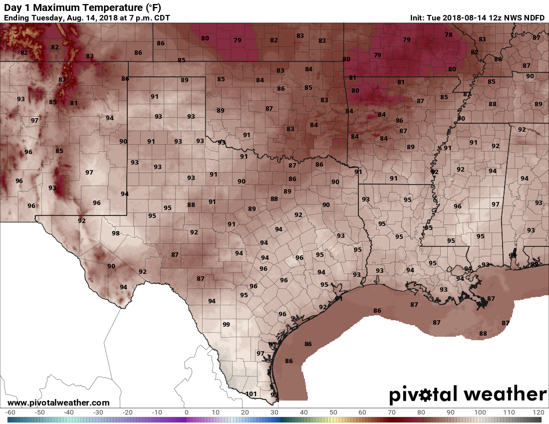
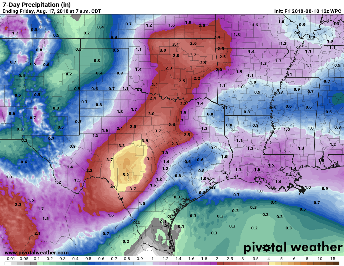
Houston’s weather pattern remains more or less the same, and should hold through the weekend, as moderate high pressure (mostly) keeps a lid on afternoon showers. Rain chances look to go up next week as a “cold” front approaches and possibly even pushes through the region.
Thursday, Friday, and Saturday
Similar weather is similar. We can essentially expect repeat days of high temperatures in the mid-90s, and overnight lows ranging from the mid-70s (inland) to around 80 degrees (along the coast). A few isolated to scattered showers are definitely possible, including some heavier thunderstorms. We saw some of those on Wednesday in Pearland and League City, and there’s enough weakness in high pressure aloft that we should see some more over the next few days.

Sunday and Monday
More of the same, but with slightly better rain chances, perhaps about 30 percent of the area will see rain each day.