A few stray, light showers remain across Houston early this morning, but for the most part rain chances have passed. Most of the area got between a light sprinkle and two tenths of an inch of rainfall. Now, we can enjoy fall-like weather with mostly low humidity through the early part of next week.
Thursday and Friday
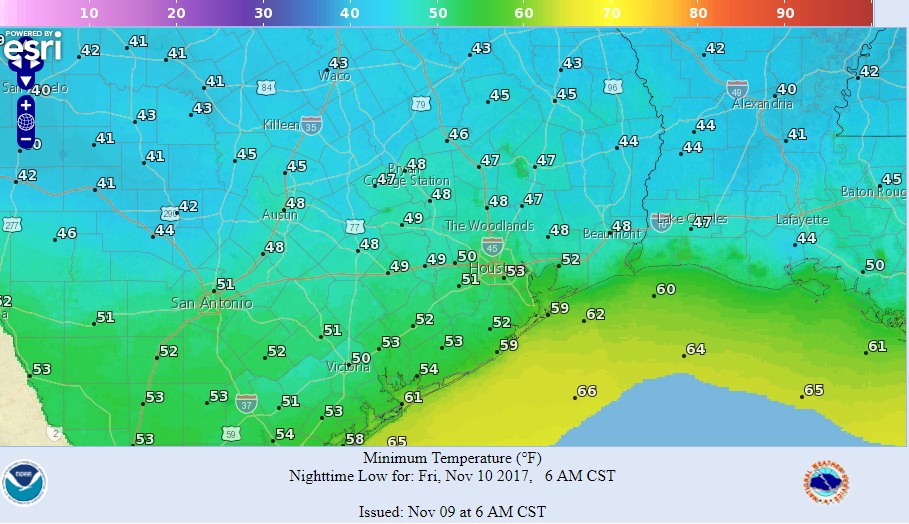
Clouds will give way to sunshine later this morning, but Thursday should still see relatively cool weather with highs in the mid- to upper-60s. On Friday, highs may top out at around 70 degrees. Northerly winds should allow low temperatures on Friday morning to get into the low 50s for central Houston, and upper 50s on Saturday morning. All in all, these will be exceptionally pleasant days after Houston’s long summer.
Saturday and Sunday
The weekend warms up a little, with highs probably rising into the mid-70s. Some southeasterly winds will push humidity back up a little bit, and lead to warmer nights with lows of around 60 degrees. However, a weak cool front should at least halt this rise in temperatures and humidity for a few days. A few showers may be possible as this front moves into the area on Sunday, but I don’t think most people will see any rainfall.