Houston’s much promised pattern change has arrived, flooding possible

The much promised pattern change in Houston’s weather is finally at hand.

During the last couple of days a tropical system has completely soaked Louisiana, leading to flash flood emergencies across parts of the state, especially for parishes just north of, and along Interstate 10. Beginning later today Houston is going to see increasing amounts of moisture from this system move into the area, which should set the stage for several wet days.

How much?

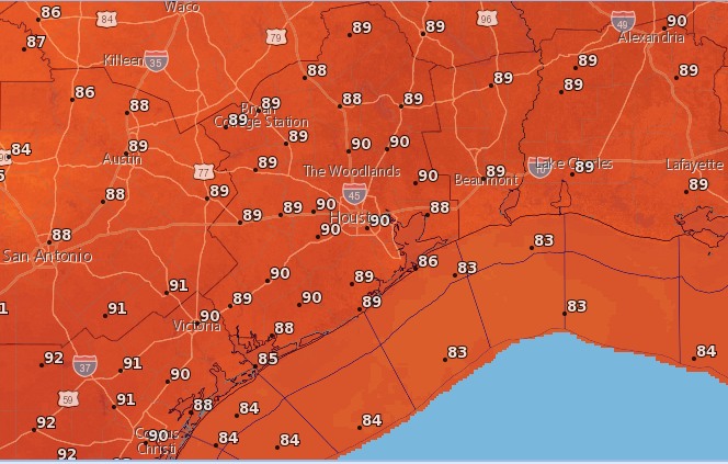
It is going to be hard to nail down the particulars of when, exactly, the heaviest rain will come. But it’s safe to say, with a tropical air mass moving into place over the region, heavy rain will be possible most days beginning later today through Thursday or Friday. Not every location will get hit every day, but we should see mostly cloudy weather on most days. After five consecutive 100-degree days, and a 99-degree mark on Friday, we should see highs confined to the upper 80s to lower 90s most days.

NOAA rainfall accumulation forecast for between Friday night and Thursday. (Weather Bell)

See full post

Two more hot days before a major change in Houston, partly clear skies for Perseids tonight

Houston has now had four consecutive days of 100-degree or warmer weather, and I’m afraid we’re going to have to suffer from the heat for a little bit longer before some relief arrives. But more moderate (for August) weather is indeed coming, and it should be here by the weekend.

Today and Friday

For most of the Houston area—with the exception of far eastern portions of the region—high pressure should remain more or less dominant through Friday. This means we’ll see the possibility of a few stray afternoon showers and thunderstorms, but the main story will remain heat, and lots of it. We’ll have a decent chance to hit 100 degrees both days, and low temperatures will remain pretty brutal as well, likely falling only to about 80 degrees. A heat advisory remains in effect.

Saturday

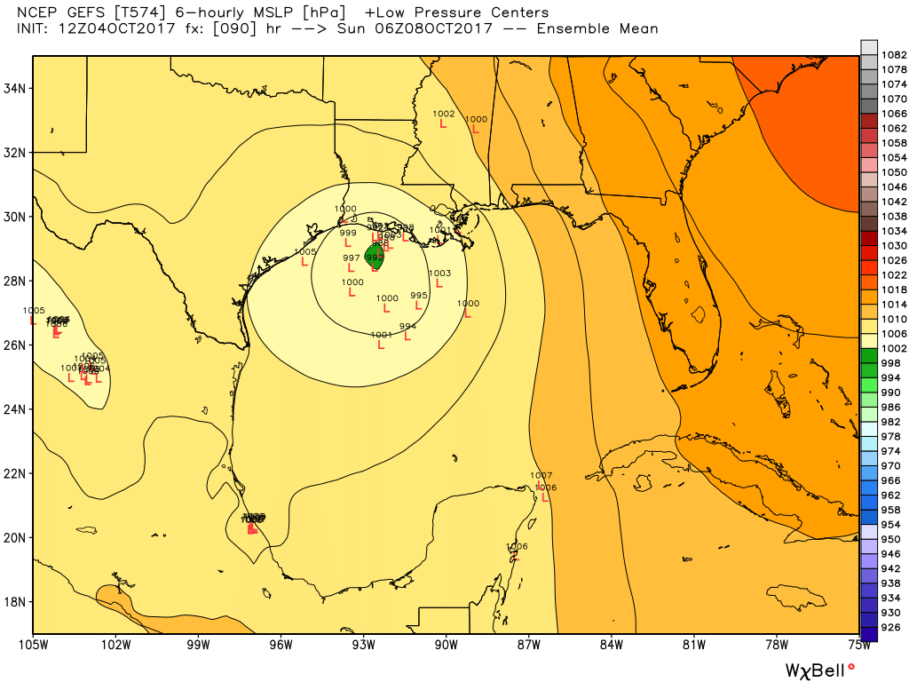
By Saturday we’ll see a transition of sorts. High pressure should weaken, and a cool front will move into northern Texas. Meanwhile, off to the east of Houston, a potent low pressure system will be bringing lots of rain to Louisiana. Houston should see some energy from the front (not particularly cool air, unfortunately) and moisture from the Louisiana system. They should combine to produce highs in the mid-90s, with a 30 to 40 percent chance of rain.

Sunday through Wednesday

By Sunday we should be in the midst of a full-blown pattern change, with highs most days in the low 90s, mostly cloudy weather and good daily rain chances. At this time it doesn’t look like the area will see any extreme rainfall, although there almost certainly will be some thunderstorms. Hopefully we just get about 1 to 3 inches across most of the region, taking the edge off of our burgeoning drought conditions.

Higher rain accumulations are more likely on the east side of Houston. (Weather Bell)

See full post

Houston to remain in the grip of excessive heat for a bit longer

The greater Houston region saw a rare “excessive heat warning” on Tuesday as low-level moisture stayed put during the afternoon hours, allowing heat indices to briefly exceed 113 degrees. Such conditions will remain for a couple of more days before clouds and increasing rain chances finally bring some relief to the area.

(National Weather Service)

See full post

Houston has reached peak summer—it’s all downhill from here

We’ve previously discussed why summer peaks so late along the Texas coast, a phenomenon known as seasonal lag. But now we’re finally here. For Houston’s official weather station, Bush Intercontinental Airport, today is climatologically the warmest day of the year. For Hobby Airport, it’s August 10. For College Station it’s August 11, and for Galveston its August 13.

Peak summer in the United States, by location. (Brian Brettschneider)


Peak summer is here, and that means it can finally go. Unfortunately, it’s going to go slowly. (Thanks to Brian Brettschneider for the data).

Today through Saturday

Houston hit 100 degrees on Monday, marking the fourth time this year we’ve hit the century mark. Unfortunately this pattern of very hot days with highs in the upper 90s to near 100 degrees is not going to change this week. We’re going to see hot weather, partly to mostly sunny days, with some scattered showers mainly during the afternoon hours. Summer in Houston is to be survived.

Accordingly, a heat advisory is in effect for today, and will likely continue so through Saturday.

See full post