Houston set all kind of heat records on Tuesday:
- Intercontinental Airport reached 86 degrees, breaking the old record of 80 degrees
- Hobby Airport reached 85 degrees, breaking the record of 82 degrees
- Galveston reached 80 degrees, breaking the record of 76 degrees
- It was the earliest 80 degree day for Galveston on record, breaking the previous record by two weeks—Feb. 21 set back in 1993.
There’s more to come today before we cool down a bit for the west of the week.
Today
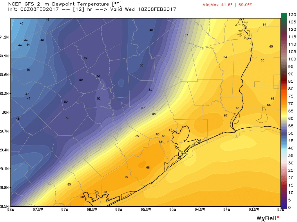
Some dense fog along the coast will give way this morning to a mostly sunny—and for February, extremely warm—day. The earliest 90-degree day on record in Houston is Feb. 20 (1986), and while I don’t think we’ll reach 90 degrees, I’m not entirely ruling it given what happened Tuesday. Highs should be in the mid-80s regardless before a cool front arrives sometime this afternoon, pushing lows on Thursday morning into the 50s.
(Space City Weather is sponsored this month by Darrell Lee’s The Gravitational Leap)
Thursday and Friday
Expect very pleasant weather to end the work week, with cool mornings in the 50s, and daytime highs of around 70 degrees. Skies should be partly to mostly sunny with near-zero rain chances.
The weekend
As the onshore flow resumes later on Friday conditions will warm somewhat over the weekend, with highs rebounding back into the mid-70s, and nighttime lows not falling much—probably only into the mid-60s for most of the region. Days should be partly sunny with a slight chance of afternoon showers.
Next week
The forecast models are still split on how to handle a cool front and increasing moisture levels in the Monday-Wednesday time frame for next week. The basic scenario is that moisture levels will increase this weekend, and a large system sweeping down from the central United States will provide some lift. It doesn’t look like we’re going to see sustained, heavy rains, but it does look as though we’ll see 1 to 2 inches of rain during this time period, with the potential for some stronger thunderstorms. By around Tuesday, give or take, a front should clear the area. This should give the Houston region several cooler days in the 60s, with lows in the 40s for most of the second half of next week.
Posted at 6:50am CT on Wednesday by Eric
“…west of the week.”
That’s wight, you wascally wabbit.
Well at least it will be “colder” than Hawaii, where I’ll be when this “monster cold front” arrives!
It looks like Boston and NYC are in for a foot of snow, so perhaps we shouldn’t complain so much.
I like snow, but only an inch or two. Mid-South type snow.
We will complain regardless!
Like the line from the “What’s It To Ya? Chorus” (parody of Handel’s Hallelujah Chorus):
“And we shall complain for ever and ever !”