Heaviest storms south today, but a wet week still on tap for Houston

Good morning. After a very soggy weekend, Houston is in store for more precipitation this week. There will be some locally heavy rains undoubtedly, but it’s my hope that the rain will be spread out far enough over the next four to five days that our bayous will have time to do their work, and we won’t see major, widespread flooding. Nevertheless it’s May, it’s storm season, so we certainly can’t be sure of that. Let’s discuss.

TODAY

An upper-level storm system is moving across the state, but it has remained to the south of the Houston metro area this morning, closer to Corpus Christi. Up to a foot of rain has fallen over parts of the Rockport, Port Aransas, and Corpus Christi areas over night. This was the southern scenario I discussed last night, which means Houston may potentially see less rain that than previously expected. There’s still some uncertainty, but I think as of right now the metro area is likely to see 1 to 3 inches of rain today, with higher amounts closer to the coast. Accordingly, Fort Bend, Brazoria and Galveston counties are under a flash flood watch this morning, but Harris County is not.

It’s still possible that very heavy rain will develop over central and northern Houston, but as of now it looks like the bulk of the rain will remain to the south. If that changes we’ll let you know. In any case, these storms will move off to the east by the afternoon or early evening hours, and I expect dry conditions tonight. Highs near 80 degrees.

TUESDAY and WEDNESDAY

After fairly calm conditions Monday night and Tuesday morning we’re going to see a warm day, with highs likely in the upper 80s. This heating, combined with an approaching cool front, will produce a chance of severe weather later during the day and evening. Although conditions will be more favorable for severe weather to the west of the Houston metro area, the city could still see some heavy rains, damaging winds and hail.

Severe weather outlook for Tuesday. (NOAA)

See full post

A quick look at Monday for Houston—when uncertainty reigns

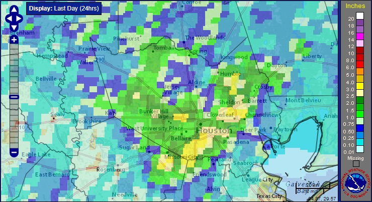
We’ve done OK today all things considered, with most areas of Houston receiving 0.5 to 2.0 inches of rain, and the heaviest concentrations clustered over west and southwest Harris County. So what’s next?

For some time we’ve been quite concerned about the potential for very heavy rain on Monday because atmospheric moisture levels were forecast to be quite high. And indeed that’s still a possibility. However now some guidance is suggesting that an upper-level storm system moving in from west Texas tonight will remain further to the south, around Matagorda Bay and points south.

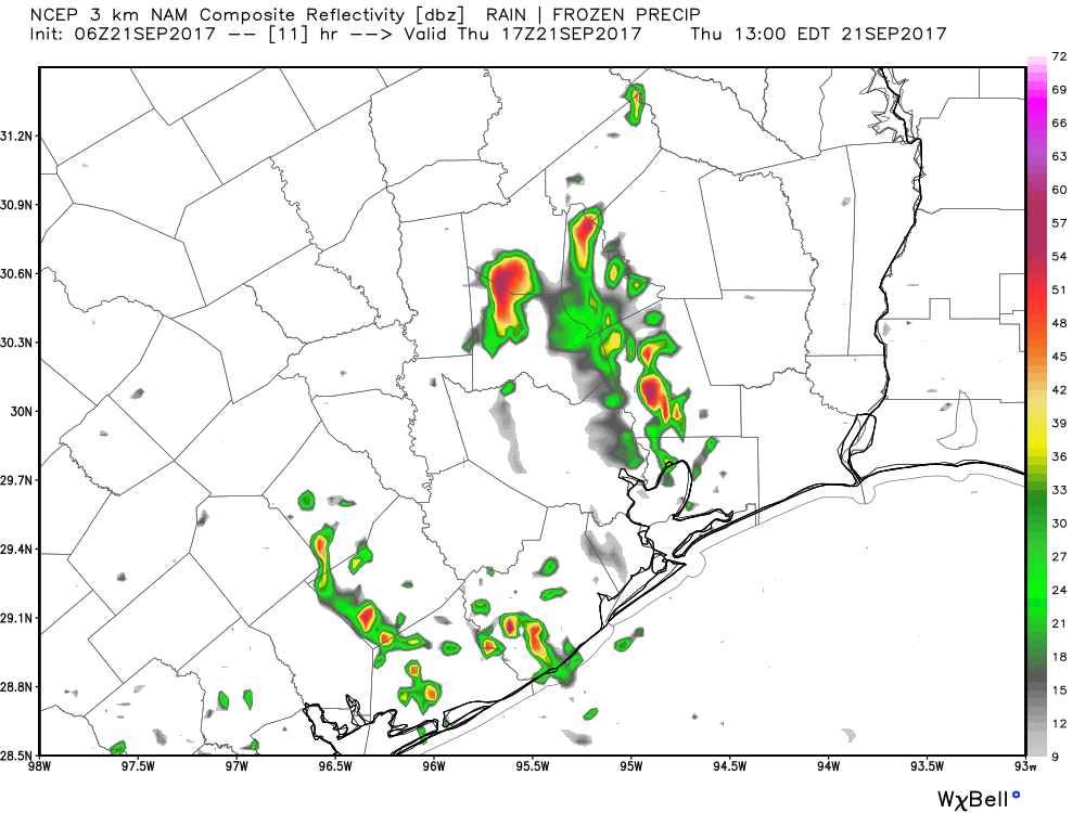
The HRRR model, and oher guidance, suggests the heaviest storms will develop south of Houston on Monday. (NOAA)
The HRRR model, and other guidance, suggests the heaviest storms will develop south of Houston on Monday. This is a radar prediction for 8am CT. (NOAA)


So there are basically two scenarios: One in which the heaviest storms do track into the greater Houston area, and bring 2 to 4 inches of rain for much of the metro area beginning some time on Monday morning. Under another scenario the storms track further south, and the region sees weather more like today, or even a little bit more benign. In either case I think we’ll see drying conditions by the afternoon or, at the latest, early evening hours.

Which scenario happens? I am not confident to call it at this point, but I’ll have a full update in the morning when we have a better idea of what’s going to happen.

Posted at 8:10pm CT Sunday by Eric Berger

Houston’s weather to remain a wet, stormy mess for awhile

The forecast is a mess. If you’re looking for light and sunshine, you’ve come to the wrong place.

As of 8am CT the radar over Houston is clear, but that is likely to change later today. A combination of daytime heating, an upper-level disturbance and a northward moving boundary between warmer and colder air should again create another rocking and rolling afternoon and evening.

TODAY

A boundary stretching from north of Corpus Christi to south of San Antonio is lifting north this morning, and should provide a focus for storms across parts of the Houston metro afternoon later this afternoon and evening.

A northward moving boundary will help focus showers today in Houston. (Intellicast)

See full post

Flash flood warning issued for southern Houston metro area

Unfortunately, as expected, the ingredients have come together this afternoon and evening to focus development of strong thunderstorms across much of the Houston metro area. As much as 3 inches of rain have fallen across southern and southwest parts of Harris County, including the NRG Stadium area, causing minor to major street flooding.

These areas are now under a flash flood warning until 8:15pm CT.

A flash flood warning is in effect for this area until 8:15pm CT. (National Weather Service)

See full post