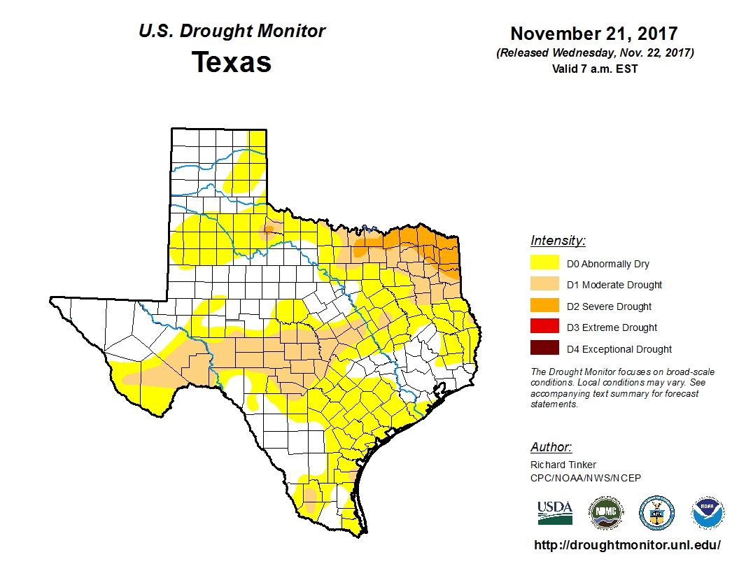
Skies are already clearing this morning across the Houston region on Wednesday morning, setting the stage for a splendid holiday weekend—and as discussed Tuesday our weather looks really fine for quite awhile. We have only one small concern, which surprisingly after a year in which Hurricane Harvey hit Houston, is a lack of rain. Over the last two months a large part of the region has received just two to three inches of rainfall. As the US Drought Monitor map shown below indicates, the region is not yet in a drought. We are not yet even “abnormally dry,” but conditions now represent a mild concern as we enter a La Nina winter that is likely to be drier than normal. For now, it’s just something to watch.
Wednesday and Thursday
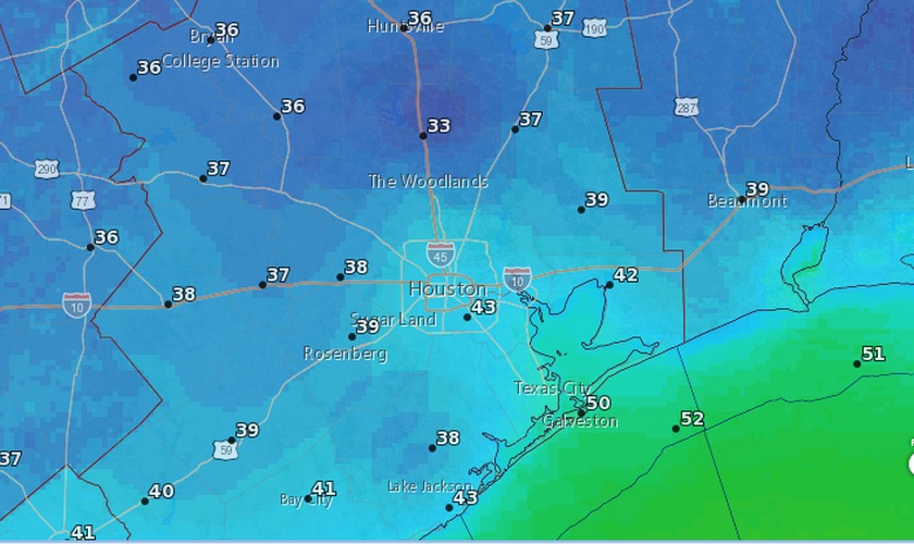
What you see this morning is what you get. Wednesday will be breezy, as cool northerly winds blow in, but these should die down this evening. Both days will be sunny, with highs in the 60s, and chilly nights. For Thanksgiving morning, we should see temperatures as cool as the mid-30s for far northern reaches of the Houston metro area, with low 40s in the city, and around 50 degrees right on the coast. Thursday night will be a few degrees warmer.