Houston welcomed the New Year with some severe thunderstorms moving through the area on Monday morning. Although some embedded storms were quite heavy, as they moved quickly there was little time for floodwaters to accumulate. The primary threat came from winds, with a few gusts reaching 60 mph to the north of Interstate 10. An additional line of storms will move through before 10am CT, but then we’re going to clear out. A couple of cool fronts will bring temperatures down this week, but there’s still a fair amount of uncertainty about how much colder conditions will get this weekend.
Today
After the storms clear out winds should pick up out of the west, bringing some drier air into the region and allowing overnight lows to slide down into the 50s—lower 50s up north and upper-50s closer to the coast. Before that happens a sunny afternoon should allow highs to reach near 80 degrees, however.
Tuesday
A rather pleasant day. Humidity levels will be lower with more westerly winds, and highs should climb into the 70s under mostly sunny skies. A cool front will arrive around sunset, give or take a few hours, and it should be a dry passage. This should push overnight lows into the upper 40s for most of Houston.
Wednesday and Thursday
Conditions will feel more winter-like with northwesterly winds. Under partly to mostly sunny skies expect highs of around 60 degrees, with lows in the 40s.
(Space City Weather is sponsored by Westbury Christian School in January)
Friday and beyond
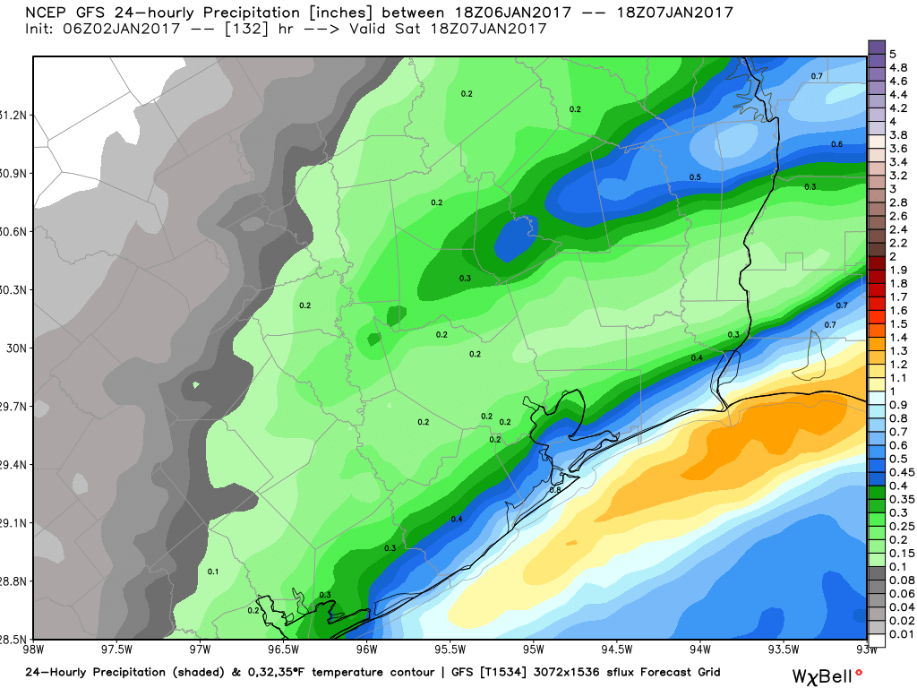
A second, reinforcing cold front should arrive sometime on Thursday evening or during the overnight hours, which will bring some additional colder air into the southeast Texas region. Highs Friday will be only in the upper 40s or low 50s as a result. Some light precipitation may linger after the front, but I think it will be warm enough that chances of snow or a wintry mix falling on Friday or Saturday are very low.
The big forecast challenge is how widespread a freeze might be. Right now the models are forecasting potential lows ranging from 25 to 40 degrees on Saturday and Sunday mornings for central Houston. I’d bet on mid-30s, with most of the region remaining just above freezing, but it’s a low-confidence forecast.
Texans playoff game
For the Texans game, it will be cold. Although rain chances are slight, and I’d expect partly sunny skies at least, I don’t think temperatures are going to climb out of the 40s on Saturday, or only briefly if so. I’m also concerned about the potential for northerly winds of 10 to 15 mph, with higher gusts on Saturday morning or midday, which could add a further chill to tailgating activities. In any case, you can bet on the roof being closed for the 3:35pm kickoff.
Houston marathon
The early forecast is for warm temperatures. I’ll have a more detailed outlook later this morning.
Posted at 7:45am CT on Monday by Eric
Interesting how you refer to the Texans playoff game in the singular…. you must have watched the last two games (which were against relatively weak opponents).
Well, almost certainly they’ll have just one home playoff game…
“but I think it will be warm enough that chances of snow or a wintry mix falling on Friday or Saturday are very low”
Don’t you know you can’t mention the S-word in Houston?