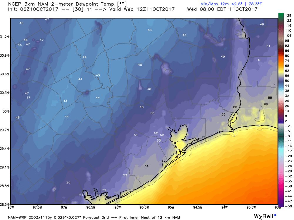
Goooooooooood morning, Houston. And truly, it is a good morning. Lows have generally only fallen into the low 60s across the metro area, but the combination of cooler temperatures and significantly drier air has made for pleasant fall conditions. Although this brief fling with fall won’t last too long, if you’ve enjoyed this I’ve got some good news for you later in the forecast.
Today
Fall will hang around for today and tonight—with splendid, sunny skies and highs only reaching about 80 degrees. Low temperatures tonight should fall into the low to mid-60s, except for areas along the coast. Play hooky!
Thursday
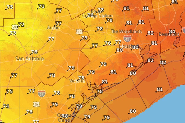
With the return of southerly winds later in the day, we’re going to see a corresponding rise in humidity and temperatures. After a cool-ish start to the day, look for highs in the mid- to upper-80s with mostly sunny skies.