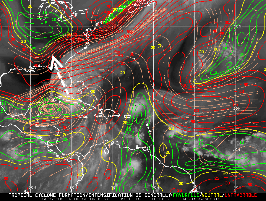
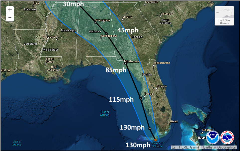
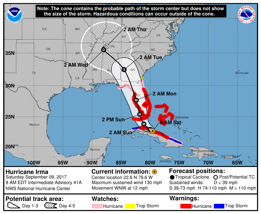
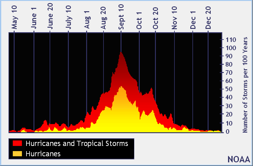
When is the rain going to end? Here’s the sobering reason we can’t answer that question

I have a couple of sobering images for you this morning. First of all, here’s a map of the total rainfall between yesterday and about 6am this morning. As you can see some areas have already received well in excess of 10 inches, and a large chunk of the region has gotten 6+ inches.

Rainfall accumulation between Sunday evening and Monday morning. (NOAA)

See full post

Flash flood emergency: Life-threatening flooding now occurring

Good morning.

It has been an exceptionally rainy night, with 10 to 15 inches of rain falling across a wide swath of western and northern parts of the Houston metro area. The Houston Fire Department performed at least 15 high-water rescues during the overnight hours, and Harris County has performed dozens. Major flooding is occurring along the following waterways:

  • Cypress
  • Little Cypress
  • South Mayde
  • Bear
  • Willow
  • Spring
  • White Oak Bayou
  • Greens Bayou

As a result of these heavy overnight rains a flash flood emergency is in effect for the following areas through 9 a.m. This means that extremely dangerous and life-threatening conditions exist, and that all travel should be avoided.

A flash flood emergency is in effect through at least 9am CT. (National Weather Service)

See full post

Extreme rainfall event developing just west of Houston tonight

The moisture has found the rising air, and it is just to the west of Houston.

Area of extreme rainfall on Sunday night. (Intellicast)
Area of extreme rainfall on Sunday night at 11:15pm. (Intellicast)


Already, as of 11:15pm Sunday, more than 6 inches of rain have fallen across Austin, Waller and northwestern Harris County this evening, with rainfall rates in some locations exceeding 3 inches per hour. Moreover there is very little motion with these storms as they are obstructed at this time. This is creating “life-threatening” flash flooding conditions in these areas.

These storms may slowly slide eastward, into western portions of Harris County, during the next several hours. It is not clear if they will move all the way into central parts of the metro area, although I expect they will not. Regardless, they are already doing work to bayous and waterways, such as the San Jacinto River, to the immediate west of Houston. The National Weather Service says Cypress Creek Near Katy-Hockley Road will soon approach flood stage. And there will be more to come.

A flood warning is in effect through Thursday for Cypress Creek. (National Weather Service)

See full post

Flash flood warning for western Houston area, additional development possible tonight

Fast-developing showers and thunderstorms have quickly brought 2 to 3 inches of rain over parts of western Houston this evening, and the National Weather Service has issued a flash flood warning for Katy and other parts of western Harris County. It is in effect until 11:30pm CT.

Area of flash flood warning in effect until 11:30pm CT. (National Weather Service)

See full post