A Houston based transportation firm that serves Houston, Dallas and San Antonio—Jetco Delivery—has agreed to sponsor Space City Weather for the entire month of May.
Here are some reasons to choose them as a provider for your cargo delivery services:
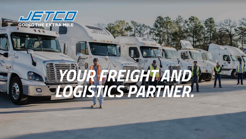
When you need a “best in class” logistics and trucking partner.
No matter the size or security-sensitivity of your cargo, Jetco Delivery is committed to safely delivering your freight every time.
For over 41 years, clients have gained peace of mind because of our experienced, professional team, our newer fleet and cutting-edge technology.
Together, we are going the extra mile.
Import/Export—Flatbed/Heavy Haul—Freight brokerage—Project management—Warehouse & Storage
Please join me in thanking Jetco Delivery for sponsoring the month of May in Houston. So far we’ve had great weather, but in this month thunderstorms are never far away.