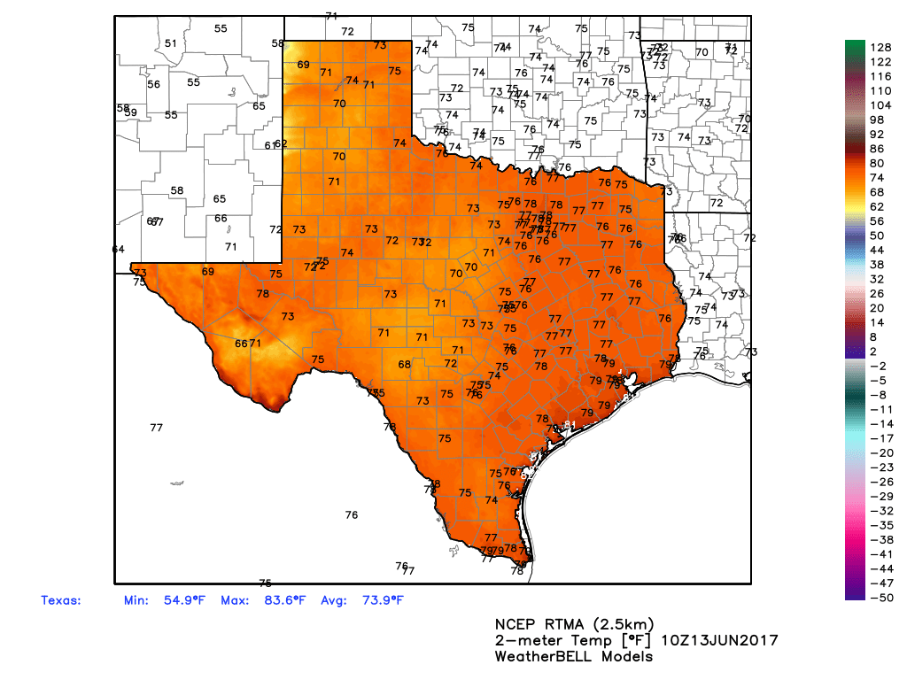
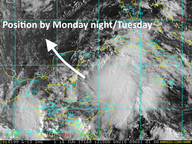
We’re continuing to watch the development of a tropical disturbance in the Caribbean Sea, near the Yucatan Peninsula, that is moving toward the Gulf of Mexico. This system could play a major role in the Houston region’s weather later this week—or very little. But it’s something I think is definitely worth paying attention to.
Will it develop?
At present the system is a broad area of low pressure, but a lot of forecast models are bullish on its development into something akin to a relatively weak tropical storm over the next few days. The National Hurricane Center believes this, too, giving it a 90 percent chance of development into a tropical depression or storm during the next five days. (A hurricane hunter may investigate the storm later today). Although we can’t rule it out, this tropical system appears unlikely to reach hurricane strength, and therefore the primary threat will be a lot of rainfall.
Where is it going?
This is the key question, and one that remains difficult to answer. We can be reasonably confident the tropical system will slowly move across the Yucatan Peninsula today and Monday, and thne find itself in the southern Gulf of Mexico. But this is the easy part of the forecast.