Houston’s temperatures reached 95 degrees on Wednesday—also known as full summer—and we’ve got one more very warm day before things turn a little cooler, and a little grayer.
Today
With some high pressure over head, mostly sunny skies, and only slim afternoon rain chances today will be another very hot day for the region, with temperatures in the mid-90s. But even for early September, this is pretty typical weather for Houston.
Friday
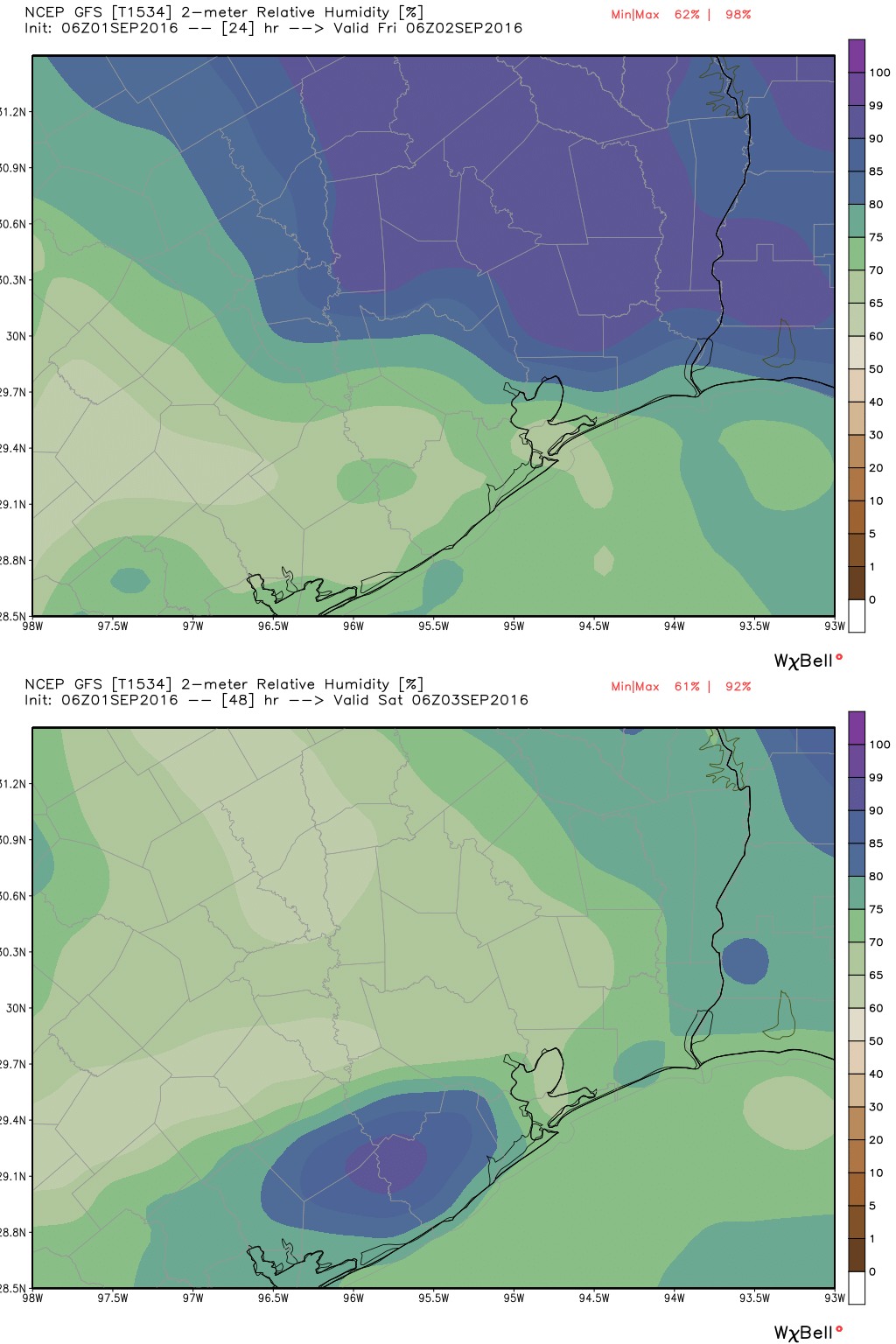
On Friday a weak front will approach the region from the northeast, and should eventually push through the Houston metro area. Effectively this will increase cloud cover and raise rain chances a bit during the afternoon hours, and some areas may get a few tenths of an inch of rain. The front will moderate temperatures and dewpoints slightly, such that by around sunset, instead of a heat index of 95 degrees, we should see 85 degrees. It won’t feel amazing, but for early September, it should feel entirely pleasing.
(Thank you to Meyerland Animal Clinic for sponsoring Space City Weather this month.)