It’s another morning with 100 percent, or near 100 percent humidity across the area, and lows generally in the mid-70s across the area.
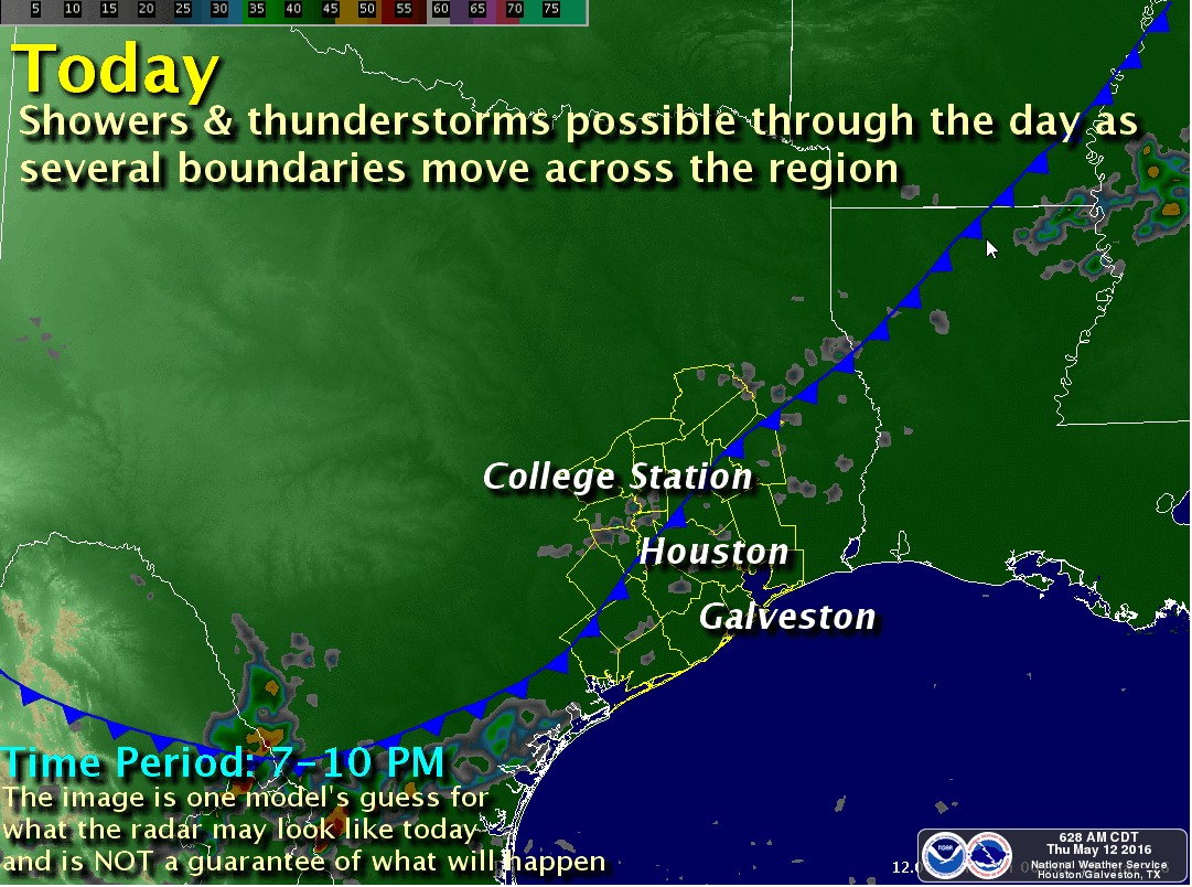
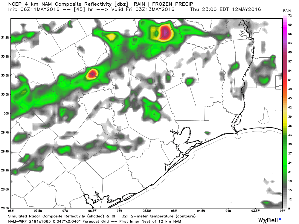
TODAY
There were strong storms during the overnight hours in the Dallas-Fort Worth metroplex, but as the associated system has sagged to the southeast it has weakened. This should leave the Houston area with partly to mostly sunny skies for the first half of today. A slow-moving, weak front will then push into the area later this afternoon. There’s some chance of thunderstorms with this system, but at this point there just doesn’t seem to be enough lift with the front to really drive widespread showers. Most areas probably won’t see rain as the front slowly moves through Houston this afternoon, evening and tonight.