It will feel more like a winter day today than a mid-autumn one as we struggle to get out of the 50s! Dress appropriately. Read on for details, as well as the latest thinking for Halloween.
Today
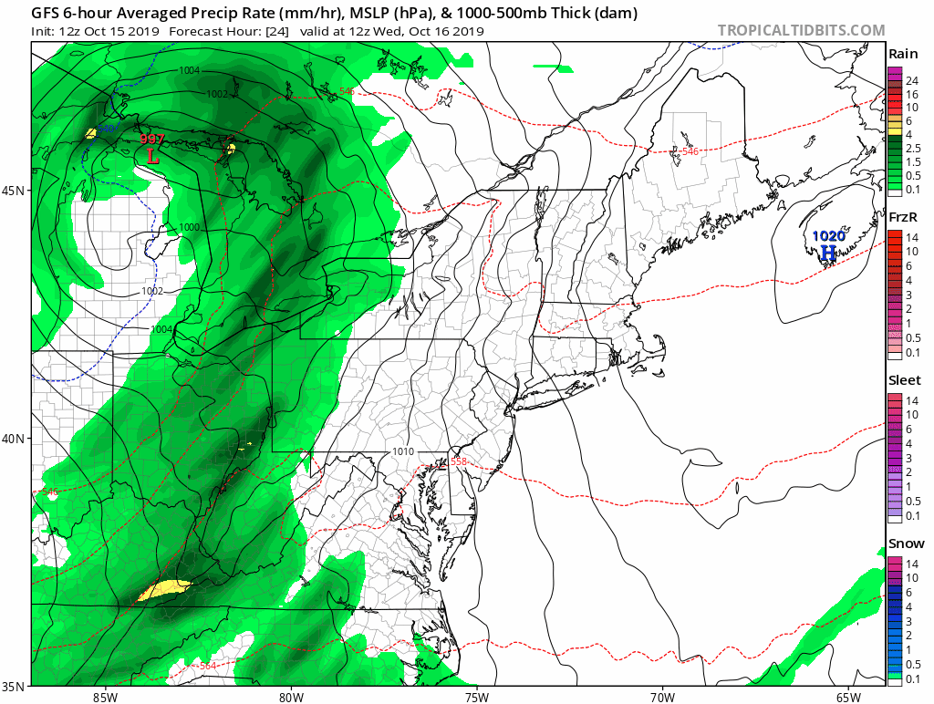
The cold front is already through basically the entire Houston area as of early this morning. Temperatures are noticeably colder this morning.
Most places have dropped into the 50s, and if they haven’t they will soon.
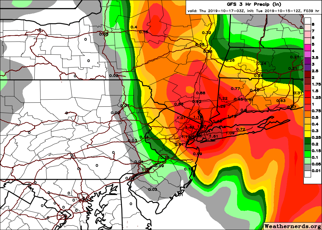
The heaviest rainfall is exiting Houston as I write this post. Look for continued clouds and showers or light rain through the afternoon, along with a good bit of cloud cover. There is a slight chance we do clear out in the afternoon, setting up a nice back half of the day, but right now we would lean toward clouds. Additional rainfall totals should be rather light. We did see some impressive rains overnight.
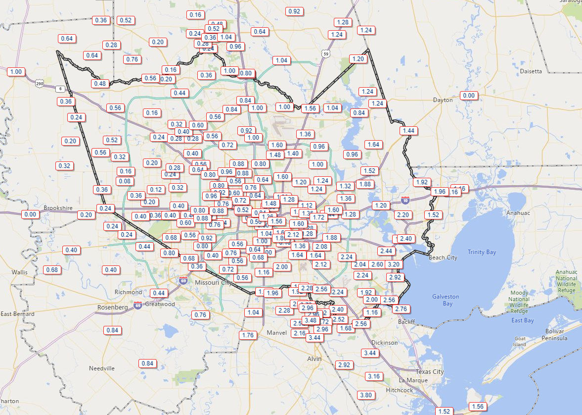
Unfortunately, the areas west of Houston that needed the rain most saw the least with a half-inch or less in most spots. As you move south or east of downtown Houston, rain totals increased. The area around Santa Fe seems to be the jackpot with close to 4 inches falling.
Temperatures should hold in the 50s for much of the day, maybe inching back up close to 60 degrees, especially west of Houston. Winds will continue gusty at times, generally up to 20 to 25 mph inland and 30 to 35 mph along the coast or bays. Higher gusts are possible in a few spots.
Saturday
If there are still a few clouds Saturday morning, don’t be surprised, but I expect we will clear out rapidly and entirely by afternoon. Winds will gradually subside as well, and all in all Saturday should be a nice day. After a morning low near 50° or in the low-50s, we should warm to the middle or upper-60s.
Sunday
Another fine day is in store on Sunday. We will start off in the 50s (near 60 along the coast) and warm into the 70s on Sunday afternoon. Look for oodles of sunshine, really a sublime day.