We aren’t quite done with rains yet in the Houston area, but there is some good news at least.
Taking a look at the satellite imagery from the still-not-quite-operational GOES-16 satellite this afternoon, you can see a “swirl” in the clouds over Southeast Texas. Specifically, this swirl is centered over southeast Montgomery County.
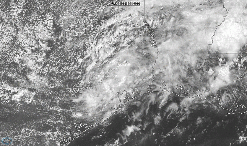
This is the mesoscale convective vortex (or MCV) that’s been partially responsible for the mayhem across Texas the last couple days. This was over the Brazos Valley yesterday evening, and the heavy storms tend to develop on the eastern flank of these things. With that roughly over Spring now, that would seem to imply that widespread storms and rain tonight will probably develop east of I-45 and east of the hardest hit areas from this morning. That’s the good news.
In fact, we have some validation for this from the HRRR model, which did an acceptable job with the setup last night.
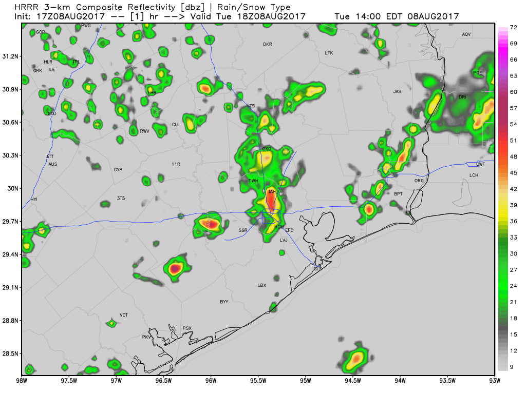
This suggests, yes, perhaps some scattered downpours around Houston this evening and tonight, but the sustained, heavier rains that could cause problems will probably be east of Houston, lined up roughly on an axis from Galveston through Winnie into Beaumont. Those areas can handle a little more rainfall than, say, Katy or Jersey Village can. Still, if you live in Galveston or Baytown or east of Houston, obviously you’ll want to stay alert tonight. And even if you live in Houston, it’s smart to remain cognizant of the situation. Though it’s unlikely we see a repeat of what we just went through, it’s always a good idea to stay weather aware during these heavy rainfall patterns.
A Flash Flood Watch is in effect for Harris, Chambers, Montgomery, Liberty, Polk, and San Jacinto Counties through Wednesday morning.
The bottom line? A repeat of this morning is not expected in Houston tonight. Areas east of Houston stand the best chance of heavy rain tonight. Regardless, in Houston and east of Houston, it’s a smart idea to stay aware of the weather tonight and Wednesday morning.
Posted at 2:55 PM Tuesday by Matt