Dust off the jackets, it still looks cold.

Rumors of cold weather have been circulating for a little while now. As I write this, we’re about 36 hours away from “go” time. The details…

TODAY

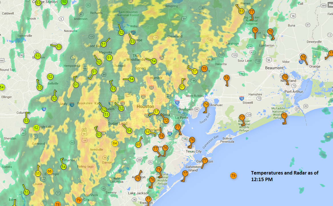
One more day of balmy weather will greet us today. We hit 79° yesterday at IAH Airport, but we’ll likely shave three to five degrees off that today. Expect low to mid 70s, with another round of sunshine.

See full post

Severe Weather Risk Rapidly Ending in Houston

As of 12:15, the severe weather threat in and around Metro Houston is now pretty much over, as the cold front has swung through the area (with the exception of places like Texas City, Galveston, and Lake Jackson, where that threat will end by about 1 PM). Rain will continue, heavy at times, behind the front. There could also be some thunderstorms still too, but any threat of damaging winds and tornadoes is shifting off to our east and will continue pulling away through the afternoon.

A map of temperatures tells the story quite well.

The cold front knocked temperatures back 20 degrees as it moved through (Weather Underground)

See full post

Mid-Morning Update on Storms

The National Weather Service has expanded and extended the Tornado Watch in Southeast Texas. It now includes essentially all areas north and east of about Sugar Land until 4 PM. A Tornado Watch just means conditions are favorable for possible tornadoes to develop. There’s nothing imminent out there as of this writing, but through this morning, we’ve seen a few storms well northwest of the city quickly flare up and flare back down, showing signs they could be tornadic. So it’s entirely plausible we see a few more spin ups like that occur over the next few hours.

9:40 AM Radar shows squall line west of Houston (Intellicast)

See full post