Welcome to our first edition of Eye on the Tropics for the 2022 hurricane season. Each Tuesday, Eric or myself will get you caught up on the big picture in the Atlantic basin. From now into August, it gives us a space to expand on some tropical thoughts a bit more expansively than we can in our morning posts. Usually by mid-August there’s enough happening each day to include in our regular emails. Until that time, though, we’ll cover the bases on Tuesday.
Tropical outlook in a sentence
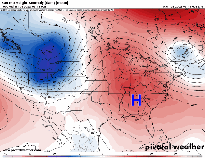
We have a fairly active Atlantic basin, especially for late June, and although no storm is expected to be significant we have something to watch close to home with Invest 95L in the Gulf of Mexico.
2022 to date
Through this morning, we have had one named storm this season. We were up to the “D” storm by this point in the season in both 2021 and 2020. Good omen? Perhaps, but this is really just normal for June. It’s typically not that active of a month. We normally see storm two in mid-July. So instead of being a month or more ahead of schedule this year, we’re only about two or three weeks fast. Progress!
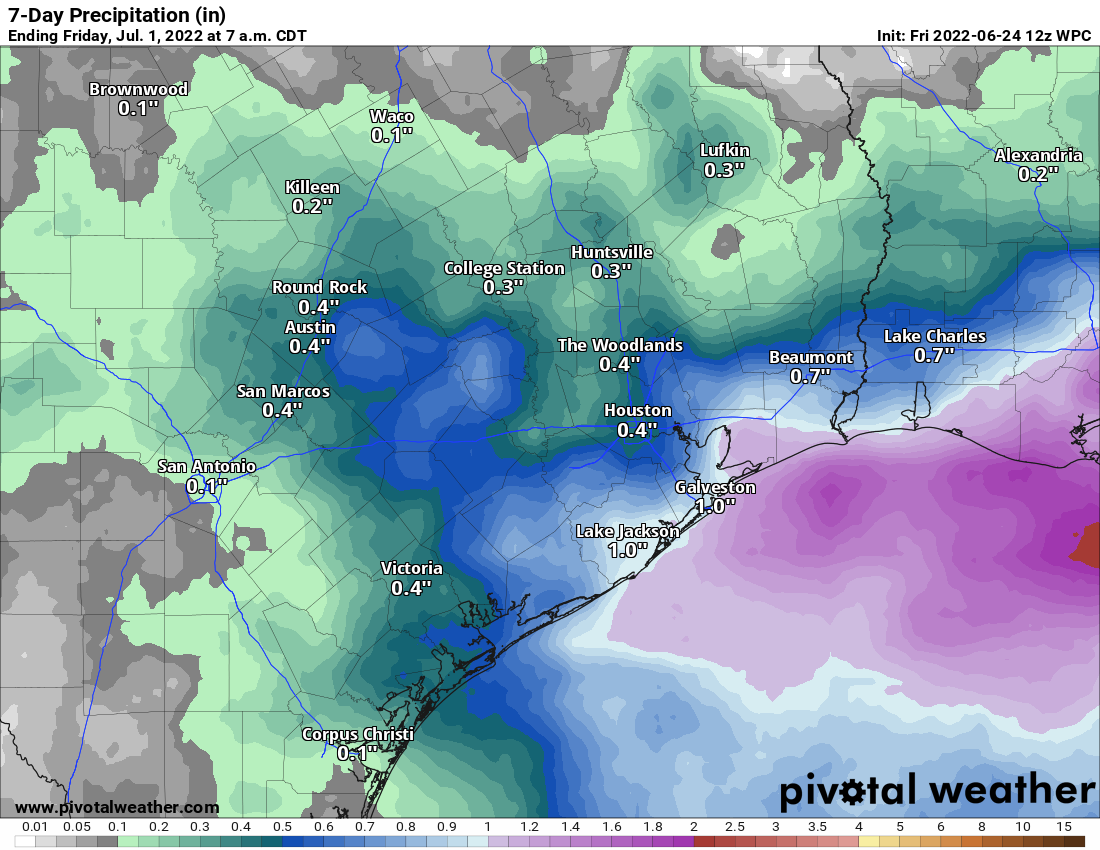
Gulf system (Invest 95L)
Eric had a very thorough and fine write-up on this system and how much rain it could bring to Texas this morning. I won’t reinvent the wheel here, and I encourage you to read his post for the latest.
Potential Tropical Cyclone 2
Elsewhere, we have nothing to worry about in the tropics, but things are active. A common question we get this time of year involves people planning trips to various tropical paradises. They want to know if they have to worry about “that thing out there.” That’s why we’re here!
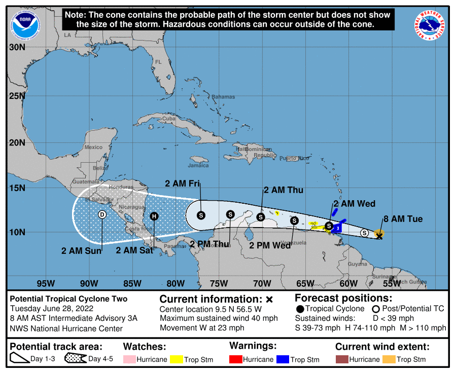
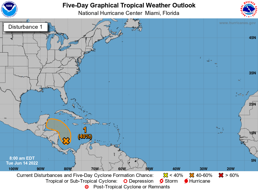
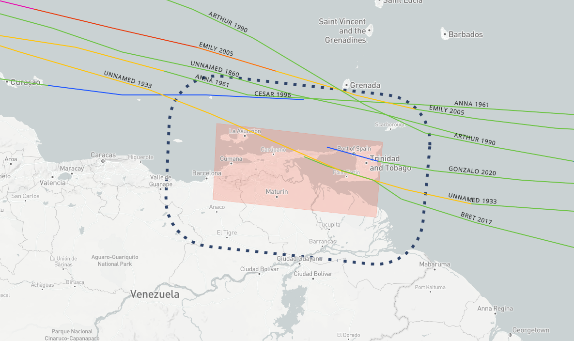
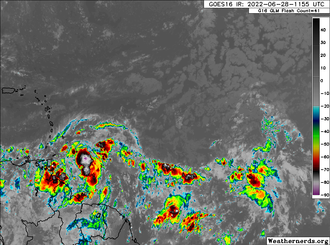
Potential Tropical Cyclone Number Two is located just east of Trinidad and Tobago. That’s a mouthful, but in simple language: It’s a system that meets tropical storm criteria (winds of 39 mph or higher) near land, but lacks a defined center just yet. It’s moving steadily westward, potentially on a collision course with <checks notes> Venezuela. Not a lot of history of storms in June and July this far south. In fact, if PTC 2 can develop into an actual tropical storm, it would be one of the farthest south this early on record.
The good news is that track forecast confidence is very high with this storm now. We have very little serious deviation between models or ensemble members, which gives us good support for a predictable outcome. In this case, it involves PTC 2 hauling due west, with maybe just a slight northward component. But ultimately, it’s likely on a collision course with Nicaragua or perhaps Honduras. As confident as we are on track, the opposite is true about intensity. Given its historically hostile location (the eastern Caribbean), the time of year, its proximity to land, and the fact that it’s moving around 20 mph or faster, there are a lot of extraneous factors that could impact the storm’s intensity negatively. Yes, this has a chance to become a hurricane as it approaches Central America, but it probably has equal chances of not being one too.
If your travels take you to the islands or Mexico, you probably have no issues to worry about. Elsewhere in Central America, it’s worth continuing to watch. The good news is that this thing is moving fast enough that it will probably emerge into the Pacific Ocean fairly quickly. So hopefully that leads to minimal flooding issues in Central America.
To note: The next name on the list after Alex is Bonnie. So if PTC 2 can develop, it will get that name. Sadly, the “C” storm is not Clyde, it’s Colin.
Other Atlantic items
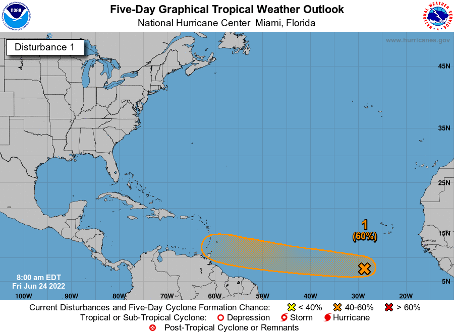
The National Hurricane Center is offering 20 percent odds that another tropical wave can develop in the Atlantic over the next 2 to 5 days.
At this point, model support is pretty mediocre on this one, unlike PTC 2, which had pretty robust model support. So, while we’ll continue to watch this wave, honestly, there’s nothing intelligible we can say about its future at this time. Unlikely to develop, but there’s a small chance. We’ll see where we are next week.
Beyond that, there’s nothing on our radar for the next 10 days or so. Hopefully we can enjoy another July lull this year after a fairly busy start to the month. More next week!