Give yourself a few extra minutes out the door this morning as dense fog is hampering visibility all over the area. A Dense Fog Advisory is posted til 10 AM. Fortunately, we won’t be mired in this weather all weekend.
TODAY/TONIGHT
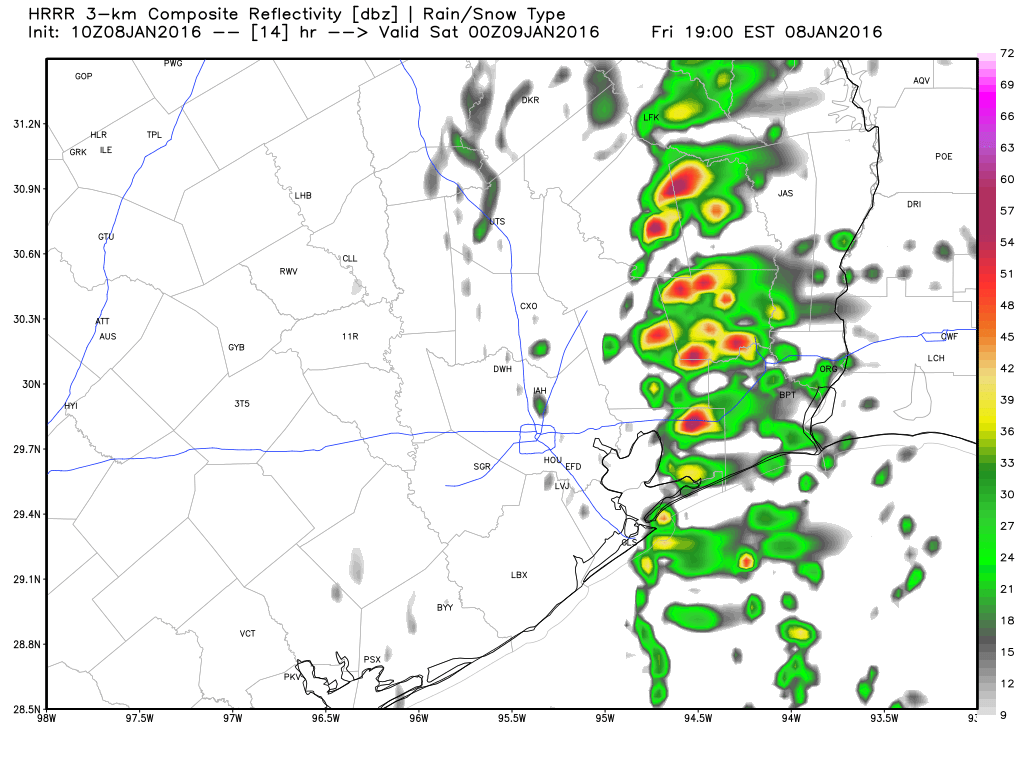
Once the fog dissipates, we should see some sunshine. But our next weather maker is going to plow through here by mid to late afternoon, allowing for clouds and showers to develop. Similar to Wednesday night/Thursday AM, this disturbance will have some vigor to it, so the possibility of thunderstorms is there. These quick moving systems hitting California and then plowing across Texas can surprise with more thunder or rain than expected sometimes. The difference between today and Wednesday night though will be that the majority of this storm won’t get organized until it’s east of Houston, so the heaviest action with this one will be east of I-45 and perhaps mostly in Louisiana. Still, just be alert for some downpours or thunder any time after 3-4 PM today.
Things clear out after midnight tonight.
SATURDAY
No tailgating issues Saturday before the start of the Texans/Chiefs game. We should see a good deal of sunshine to start the day. A weak (dry) secondary cold front will swing through Saturday afternoon, bringing a few clouds. That should clear out before sunset, and Saturday evening will be mainly clear and chilly. The only knock on Saturday (and really the only legitimate reason to even remotely consider keeping the roof closed at NRG Stadium) may be the wind, gusting at times to 20 mph. High temperatures Saturday afternoon will be in the low-60s, and Saturday night into Sunday morning will see lows in the upper-30s (maybe mid-30s in outlying spots).
SUNDAY AND BEYOND
We slip back into a quieter weather pattern for early next week. Sunday should be a nice winter day for Houston with low 50s and sunshine. There may be a weak front to reinforce cool air on Monday. Things may turn a little more unsettled by mid to late week, with a chance of showers by Thursday. But as of this point, trying to time any disturbances and when it will rain is a fool’s errand. So more on this as we get closer.