The first three weeks of January saw an average temperature about 7 degrees below normal across Houston, but the last week of the month should see weather more typical for this time of year—which is to say not too hot and not too cold.
Tuesday, Wednesday, and Thursday
After a chilly start this morning generally in the 30s across Houston, pleasant winter weather awaits. Under the influence of high pressure, we’re going to see mostly sunny days with high temperatures in the low 60s, dry air, and cool nights with lows in the low 40s—warmer at night along the coast and cooler for inland areas. Clear skies should make for really nice sunrises and sunsets.
Thursday night, Friday and Saturday
By later on Thursday, an onshore flow should resume, and this will increase cloud cover and return some rain chances to the area. Basically, the combination of warm, and moist air will generate some light, probably mostly misty rainfall later on Friday, Friday night, and Saturday across the area. In terms of accumulation, we’re probably talking at most a tenth of an inch of rain, or two.
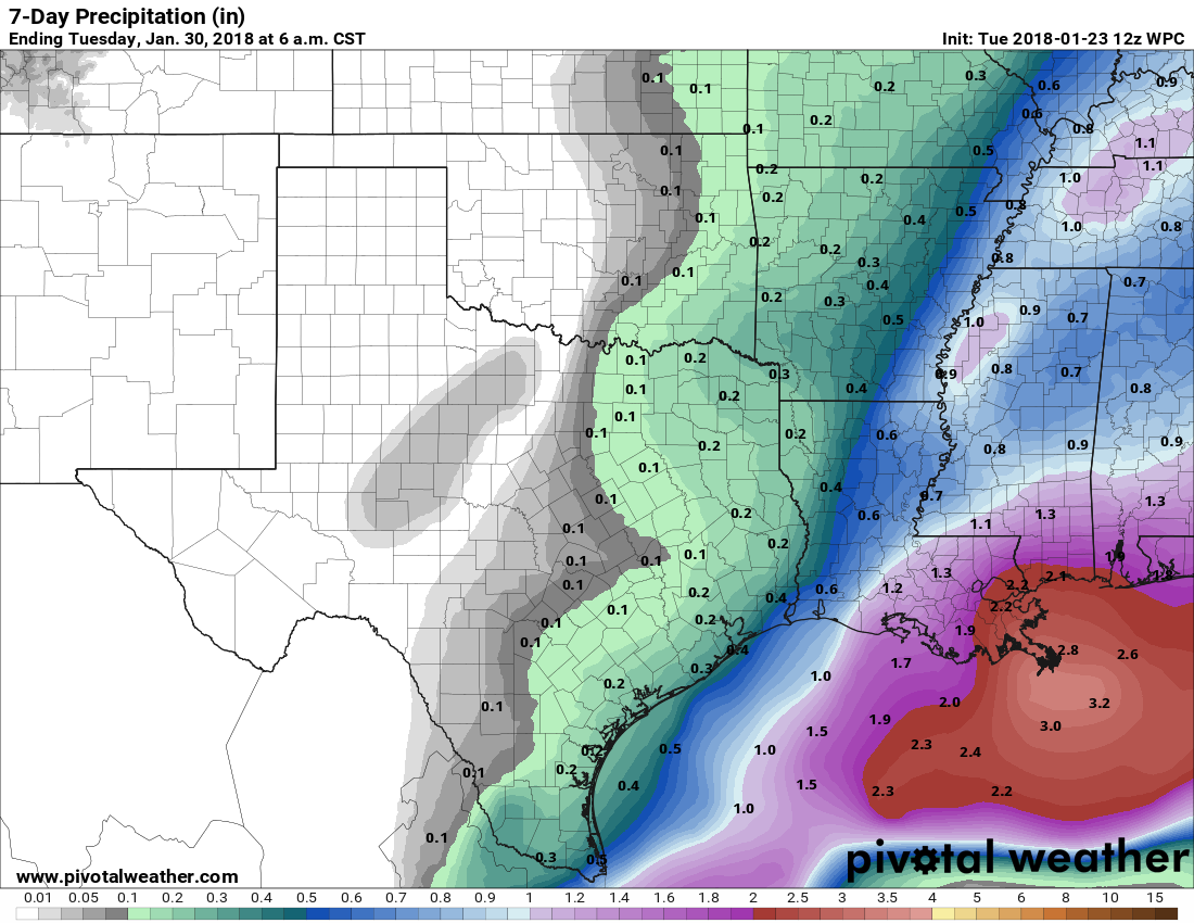
Despite the mostly cloudy skies, due to warm air moving back in from the coast we’ll see highs near 70 on Friday, and probably at or above 70 on Saturday. The rain won’t be continuous, and some areas probably won’t get wet, but it won’t be the best start to the weekend.
Sunday
A cold front will push into Houston this weekend, and right now the most likely time seems to be between midnight and sunrise on Sunday, although this timing remains subject to some change. Most likely we’ll see a fast-moving, broken line of showers with the front. Conditions don’t look too blustery in the wake of the front’s passage, with perhaps 10- to 15-mph winds on Sunday as cooler air moves in to limit highs into the 60s. Sunny skies should return quickly, too. There’s some question about the strength of the front, but I suspect there will be enough cooler air to keep us in the 60s (highs) and 40s (lows) regime for the first half of next week. Rain chances fall off with the front’s passage, too.

There were a lot of brush fires in north and northeast Texas yesterday. Are we in the fire danger zones would you say?
Eric, are the parameters you use to measure levels of precipitation we receive the same whether it’s rain, sleet, freezing rain, or snow? I only ask because last week we saw the entire gambit, and if you posted what the accumulated total was of all that, I missed it. Thank you.