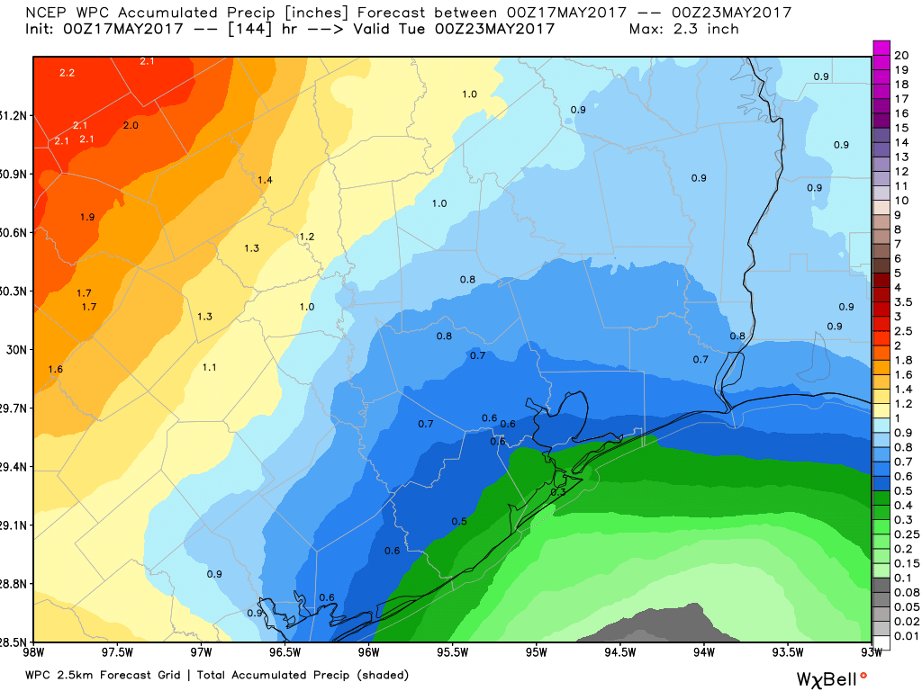
This weather pattern is one that occurs in Southeast Texas fairly often this time of year, and the best word I’ve found to describe it is “annoying.” You have to mention showers, but most people won’t see much. No exceptions this time, as low-end shower chances will be in the picture the next few days. Higher chances for showers exist this weekend. Let’s get to some details.
Today
A quiet start to the morning across the area. If you’re south or east of Houston, you’ve probably noticed gusty winds though. Onshore flow has cranked up, but winds should ease up some this morning.
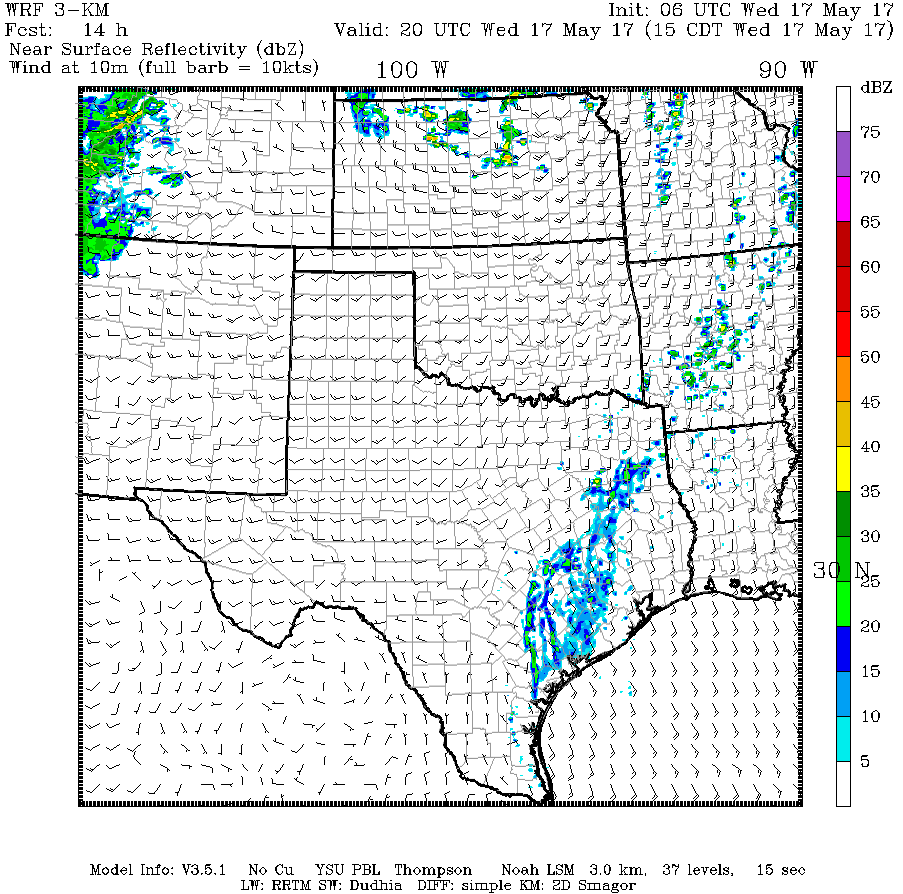
The bulk of the day will feature a mix of sun and clouds. There could be an isolated shower, primarily north and west of Houston, but I don’t see anything too serious from this.
Expect temperatures to be near to just under where we got yesterday (mid to upper 80s).
(Space City Weather is sponsored this month by Jetco Delivery)
Thursday through Saturday
Right now, Thursday and Friday look fairly similar. I expect a mix of clouds and sun with high temperatures in the mid to upper 80s both days. Shower chances will be low, but they won’t be zero. Whatever does happen should be minor and isolated. One wild card I would watch is how repeated rounds of thunderstorms in interior Texas behave. It’s not out of the question that one of these clusters of storms survives a trip east and finds its way into Southeast Texas. Still, I feel confident that those storms would be weakening and not serious by the time they got here if they did make the trip.
Saturday should be similar, however there may be an uptick in shower chances late Saturday and Saturday night as a weak cold front drifts this way.
Sunday into Next Week
The weather should be at its most active on Sunday with scattered storms as the cold front eases its way through. Some of the storms could be strong, but heavy rain will be the main thing to watch. Beyond that, details get uncertain. We’ll update as we get closer. Unlike recent cold fronts, we won’t see a sharply refreshing air mass behind this one, but humidity could back down a little.
I have lower confidence in next week’s forecast. The remnant frontal boundary could act as a focus for some showers and storms in the region. Or not. Exactly how this develops, if at all, remains to be seen. Nothing of too much concern is seen right now though, just your typical late spring, unsettled weather in Texas.
Posted at 6:40 AM Wednesday by Matt