Before we dive into the forecast, just a quick note. Eric and I were interviewed by Houstonia Magazine for their August issue. In it, we give answers to some of the most common weather questions we get about Houston and our “crazy” weather, as JJ Watt so aptly put it on Wednesday.
Besides our Q&A, the issue looks like it’s going to be fantastic, with articles and lots of cool pictures from weather events of the past throughout the Houston area, so be sure to check it out and pick up a copy!
Onto the weather.
Today & Weekend
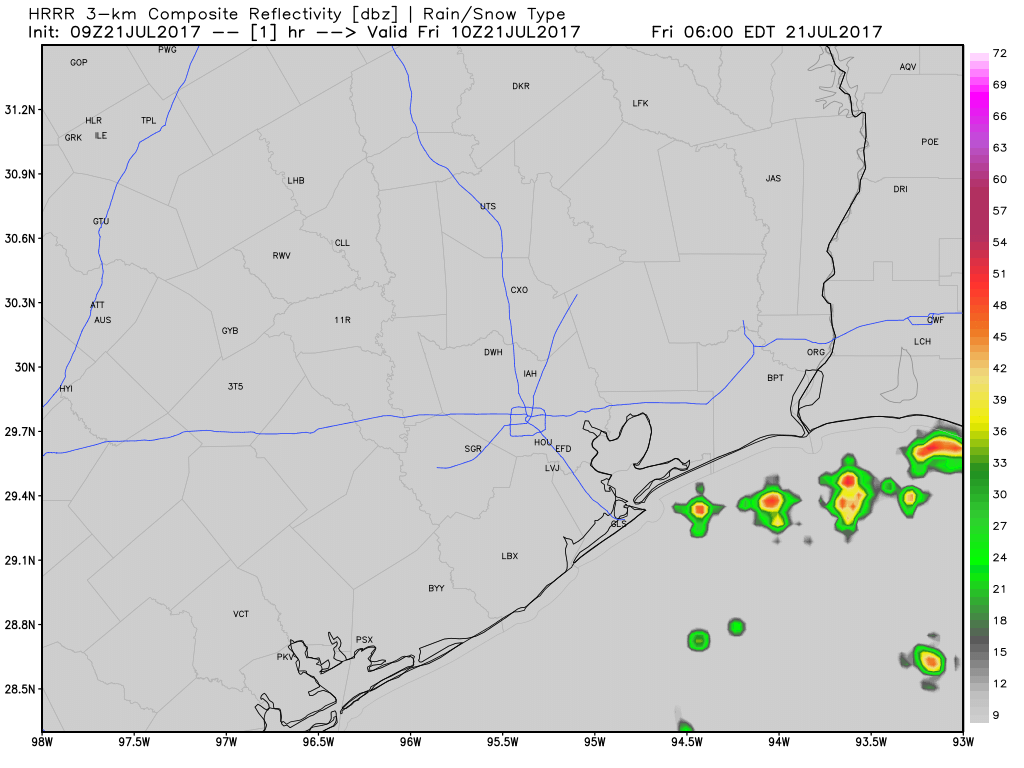
Houston’s high summer continues, with a lot of repetition in day to day weather around the area. I expect that today will look a lot like yesterday. However, I wouldn’t be shocked if we see a couple more showers and thunderstorms in the afternoon or evening, especially south and well east of Houston. Large scale high pressure in the upper atmosphere to our north weakens considerably day over day, which should at least offer up a more favorable atmosphere for storms. That said, I’m not sure we quite have a trigger in place for too many more of them just yet.
Either way, it looks hot and humid again today, with highs in the mid-90s in Houston. Yesterday and Wednesday were officially the two hottest days of summer so far, with high temperatures of 97° both days at IAH Airport.
For Saturday, upper level high pressure weakens even more, and we add an upper level disturbance to the mix. This combination should allow for much greater coverage of storms than we’ve had late this week. I don’t think Saturday ends up a washout or anything, but the odds that you’ll have to dodge some raindrops and lightning for a period of time are elevated. Be prepared to find some indoor shelter for a bit Saturday if you’ll be outdoors.
Likewise, Sunday should see that upper level disturbance overhead or nearby, leading to healthy coverage of showers and storms with daytime heating.
With clouds, showers, and a generally cooler atmosphere, temperatures this weekend will be held down. Expect an average of lower 90s in the city, hotter northwest with lower rain chances and cooler southeast with higher rain chances.

Next Week
The sizzle should be back on across Texas next week. Atmospheric high pressure builds back into the state. It tries to build into our corner of the state, but again it will probably fall just short, so we remain on the periphery.
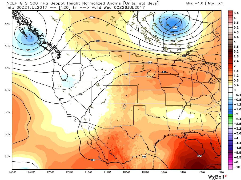
Rain chances won’t quite be zero, but they’ll be rather low. Temperatures will bounce back with highs in the mid-90s most days and a chance for some upper-90s at times. Under the meat of the ridge in Central Texas, high temperatures will likely cross over 100° for several days. Yes, it’s going to be hot here, but it could always be worse I suppose. Hopefully some widespread cooling downpours this weekend will give us a little break from our Houston summer blues as we prepare for the next round.
Posted at 6:20 AM by Matt
Heh. I have been carrying my umbrella for rain or shine. Useful in both instances.
How much longer until October????
You mean January?
Thanks guys. I guess looking at the models…pick your poison. Low off Florida moving our way. Guessing Saturday is our best bet in NW metro area
It’s a pretty tough call to be honest. Both upper levels and available moisture look best Sunday for storms. But I’ve seen day one of a stormier pattern surprise before, so I’m not quite willing to say Saturday will be better than Sunday or not. Either way, just have an umbrella. Hopefully some rain at ideal times for minimizing disruption to plans!
Lol. We have an umbrella over our house!! Anyways…hoping to see a localised downpour
Am I glad I flew to Seattle today! A “sweltering” 77 deg high temp!
Congrats on the interview with Houstonia Magazine!