Well, it’s a beautiful day today. Sunny, cool breeze, nigh perfect. But it’s springtime, and that means the potential for heavy rain and storms, and later this weekend Mother Nature is going to deliver. I want to give an idea of what to expect.
SUNDAY
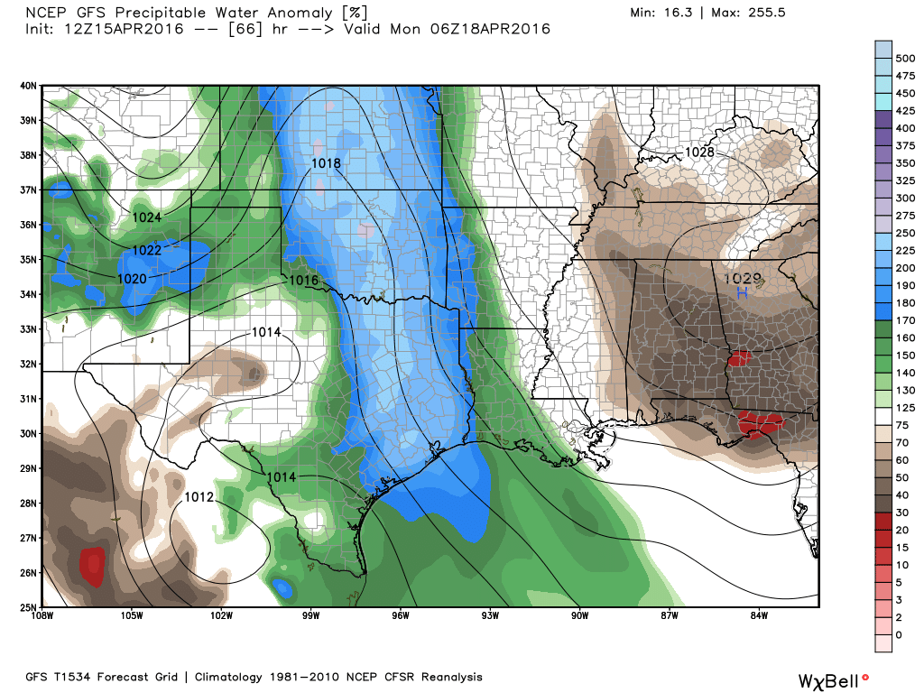
For the most part, during the daytime in Houston on Sunday, I expect to see only light rain. Not that it’s going to be particularly pleasant outside, with southeasterly winds gusting to 25 mph. But the storms should hold off until at least the mid- to late afternoon hours. However by Sunday night a potent upper-level low pressure system should force air in a very moist atmosphere to rise, and create conditions conducive for very heavy rainfall. (The second day of the MS 150 ride has already been canceled as areas in central Texas will experience these conditions earlier than Houston.)
There’s still no consistency in terms of location for the heaviest showers, but while some areas may receive just light rain, other parts of the area get 2 to 4 inches, if not more, during the overnight hours. Whatever your going to do Monday morning, best to plan on the possibility of needing extra time. Hail and damaging winds are also possible with these overnight storms.
MONDAY
It’s possible the region will see a break Monday morning, but conditions will favor the additional development of strong showers and thunderstorms again on Monday afternoon through around noon on Tuesday. Again the primary concern will be locally heavy rainfall with a very moist atmosphere and strong lift.
TUESDAY
While the possibility of strong storms continues through the morning hours, we should see a transition to light, and then likely an end to rainfall by the afternoon hours. Total accumulations for most areas during the Sunday-through-Tuesday period will likely be between 2 to 5 inches, but some locations where the heaviest shower establish themselves may receive in excess of 10 inches. Flooding is likely in these areas.
BEYOND
The possibility of light rain should linger for most of the rest of the work week, but the threat of very heavy showers should be over.
Thanks Eric! Driving from San Antonio to Houston on Sunday. Plan was to leave at 11am. Should we push it earlier? Or is this a watch-the-radar kind of situation?
Watch the radar. The problem will be getting out of San Antonio, not getting into Houston.