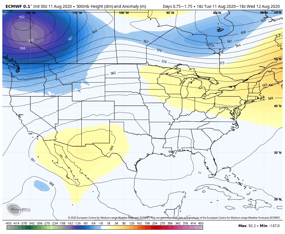
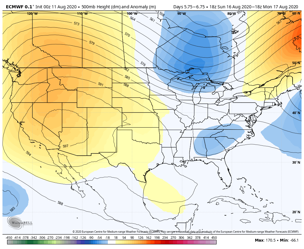
This is a pretty easy forecast for the region, and as there’s not much to say, we’re not going to say much. The prevailing pattern remains the same, with a ridge of high pressure anchored generally over the four corners region. For the next five or six days, this overall pattern does not change, with the ridge likely slowly moving north, and then a bit west. Houston lies on the eastern edge of this high, but we’ll feel enough of its influence to preclude all but isolated to scattered showers. In short, we’re going to see typical August weather for awhile.

Tuesday
Today will be mostly sunny, with highs in the low 90s near the coast, and upper 90s for inland areas. If you’re far enough west or north of Houston, highs may flirt with the 100s. Winds will remain very light, at about 5mph out of the south, providing no relief during the afternoon. Rain chances will be slight, at 10 to 20 percent for the region. Overnight lows will be warm and humid.
Wednesday and Thursday
More of the same.
Friday, Saturday, and Sunday
The overall pattern does not change much, but as atmospheric moisture levels rise a bit, we may see slightly better rain chances in the mix. Forecast models also indicate this is when temperatures may reach their warmest—with the potential for 100-degree weather creeping southward into the Houston metro area—so expect plenty of heat and humidity to go along with any scattered showers.

Next week
By next week the high should continue to move west, and this may open the door to a more disturbed atmosphere with better rain chances. This probably will begin around Tuesday or so, but we’re not making any guarantees.

I was hoping for a little discussion of the derecho in the midwest.
August reports will soon be reduced to “See yesterday’s report”.
But, I’m not complaining: boring is okay with me to run out the clock on summer.
This article is sadly not at its best.
Too early the rhymes were given a rest!
If the theme’s repetition,
then surely the mission
should be to use patterns with zest!
Please comment on the disturbance in the Atlantic. I don’t understand the NOAA forecast of “90% chance of formation in the next five days but moving into an area less favorable for development.”