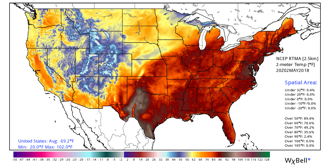
The high temperature inched up to 87 degrees at Bush Intercontinental Airport on Wednesday, and some locations were a smidge warmer than that. This is the warmest the region has gotten so far in 2018—welcome to what most of May is going to feel like.
Thursday
After a warm, muggy start in the low 70s, today will be another warm one, with highs likely reaching into the upper 80s for most of Houston despite pervasive clouds across the area. Rain chances will again be near zero. The other noticeable feature will again be those brisk southerly and southeasterly winds, which will gust up to around 20 mph. Lows again tonight will probably only fall into the lower 70s.

Friday and Saturday
An upper-level low pressure system, combined with a weak cool front, will approach the area on Friday. Accordingly, after several days of just clouds, rain chances will also be on the rise beginning Friday. It is not at all clear to me that everyone will get rain as some coastal areas will probably remain dry. And while there may be pockets that pick up 1 to 2 inches of rain (this seems more likely north of Houston, in areas such as Montgomery County), I think the vast major of the region will receive only a few tenths of an inch of rain. That is disappointing because we need the rain (more on that tomorrow).
Anyway, we can expect both Friday and Saturday to be cloudy days, with highs in the low- to mid-80s. Yes, some rain may disrupt outdoor events, but it will not be any kind of a constant rainfall. As the front moves through on Saturday, we can expect a clearing out of any rainfall beginning early in the day up north, and later in the day closer to the coast.
Sunday and Monday
We’re getting to the time of year when cold fronts just don’t whack that much out of daily high temperatures, because the days are longer and the Sun is so high in the sky. As a result, I think we can expect highs on Sunday and Monday to be in the upper 80s with mostly sunny skies, but with cooler nights in the 60s. Lower humidity will also be around, which will feel nice.
This pattern will likely persist for most of next week, with very low rain chances. I would not be shocked to see a daytime reading of 90 degrees on one or two afternoons.
Funny how upper 80s seems so hot right now, but come September upper 80s will be a godsend
Disappointing to the farmer as we need the rain–but Monday-Friday will do nicely, thank you very much, so that the farmers markets that depend on good weather are unaffected. The farmers go to market anyway, its just the customers who are afraid they’ll melt. 🙁