After two drier, warmer days in the mid-90s—typical weather for August—Houston will slip back into a mild, wetter pattern.
Today
As high pressure has retreated some, and moisture levels are fairly high, I’m expecting some fairly decent shower and thunderstorm coverage today, especially across southern parts of the metro area where precipitable water levels should be highest. Expect highs around 90 degrees, perhaps a bit higher to the northwest of Houston where rain chances should be lower. Showers may linger well into the evening and overnight hours.
Friday through Sunday—Mild temperatures
A series of disturbances seem likely to approach the region this weekend, beginning on Friday, and with a tropical airmass in place we can expect to see a fair amount of rain coverage. These three days should see partly to mostly cloudy skies, and on-and-off rain showers. I’m not expecting anything too extreme, and most of the Houston area will likely see 2-3 inches of rain or less. However we can’t rule out some locally heavy rainfall, and brief street flooding, where the strongest storms develop.
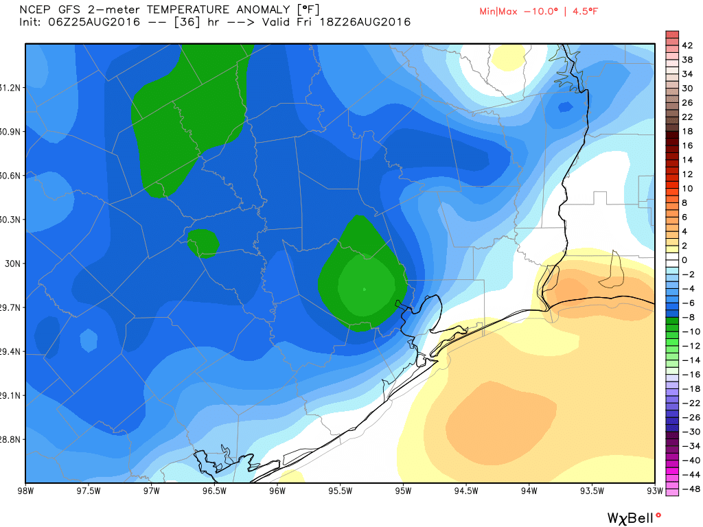
Highs will be blessedly cool for late August—likely only in the upper 80s each of the three days.
Next week
By Monday we should begin to see less rain coverage, although tropical moisture will remain in place over the region. Further drying appears likely by Tuesday, with Houston falling back into a typical summer-time pattern of highs in the low- to mid-90s and scattered afternoon showers..
Tropics
We’re continuing to watch Invest 99L, but as we’ve been saying the system will probably remain to the east of Texas. The overnight model guidance continues to support such a solution. The most likely outcome appears to be the movement of a low pressure system toward southern Florida this weekend (strength unclear).

After that time it may move west into the Gulf of Mexico, or more northerly up the Florida Peninsula. While there remains a slight chance the system will track toward the central, or even western Gulf of Mexico, that seems increasingly unlikely.
We’ll continue to stay on top of things.
Posted on Thursday at 6:55am CT by Eric
Thanks again Eric and Matt for the “hype-less” reporting/updates…soooo refreshing! In today’s crazy, out of control social stressful world, it is appreciated…
It is indeed. I was watching The Weather Channel yesterday morning. They talked about 99L and immediately compared it to Hurricane Don and other storms that had ravaged the east coast. It’s good to know there’s a source of rational forecasting available.
Seems likely that Hermine will continue our crazy streak of no hurricanes in the Gulf? Or do you see it having time to strengthen?
Definitely too early to say one way or another. If it gets into the Eastern Gulf, over open water, it will probably strengthen very quickly.
Guys – can you move the center of that green blob over Harris County in the first graphic about 20 miles to the southeast?
Thanks in advance.