Good morning. Cool ground and calm winds are producing some patchy fog across the Houston area near Galveston Bay and a few other locations. This should persist until 8 or 9am CT this morning. On a related note, Matt and I want to wholeheartedly thank all of the supporters who bought t-shirts to support the site, and made donations to support our work. The fundraiser was a tremendous success. Look for your t-shirts to arrive a few days before Christmas.
Today
Expect mild conditions today, with partly to mostly cloudy skies and high temperatures in the upper 60s. With only a modest amount of moisture pooling ahead of a strong cold front, conditions won’t be ideal for rain showers this evening and during the overnight hours, and most areas probably will only see a tenth of an inch, or two.
Wednesday night and Thursday
A cold front racing across the plains states today should reach northern parts of the Houston area before or around midnight, and sweep through the city and be off the coast around, or shortly after sunrise Thursday. We’re going to wake up to blustery, cold conditions with temperatures generally around 50 degrees, and feeling quite a bit colder due to winds gusting to about 30mph for inland areas, and up to 40mph along the coast. Highs Thursday are unlikely to top 50 degrees and will fall during the afternoon hours.
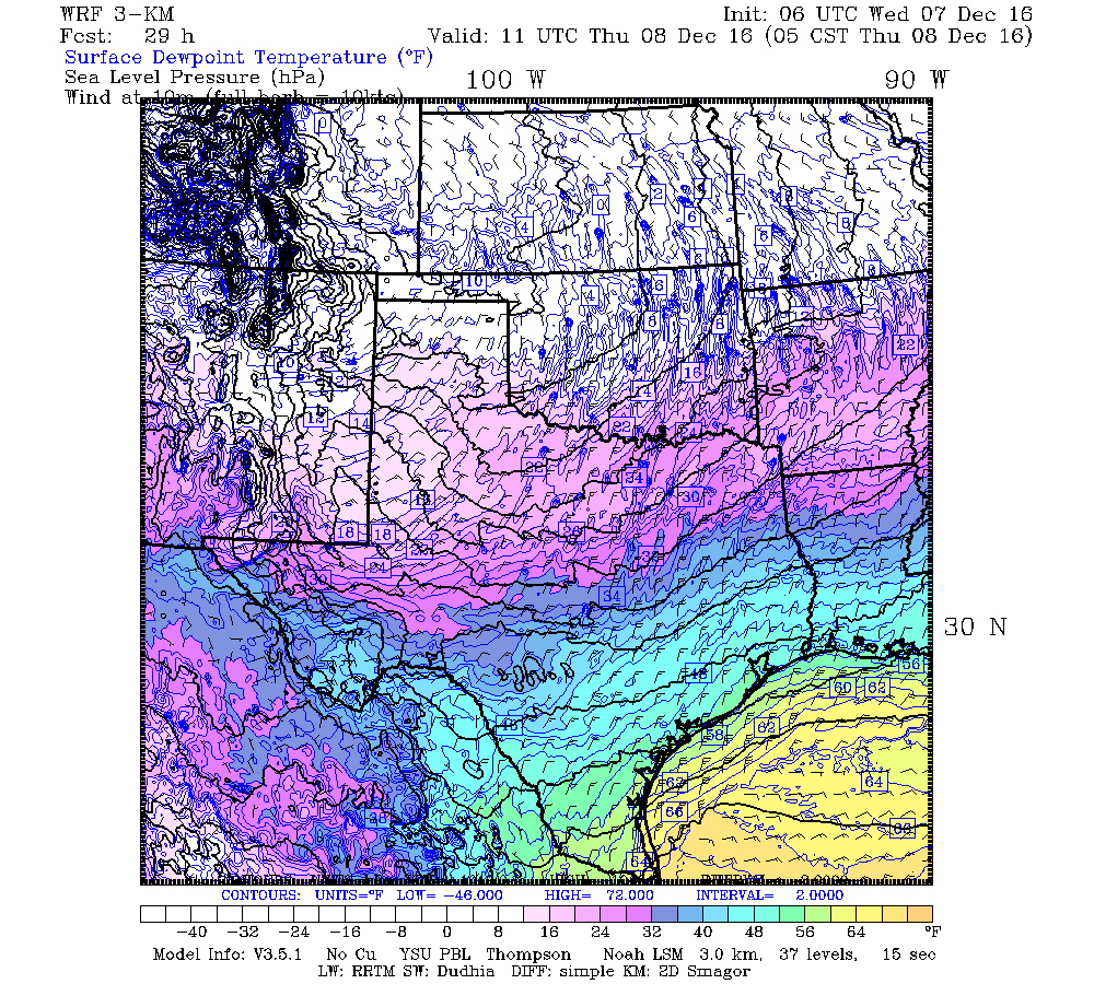
As for low temperatures on Thursday night and Friday morning, I continue to believe there will be just enough cloud cover to keep minimum temperatures above freezing for central and southern parts of Houston. But for areas north of Interstate 10, and especially Bush Intercontinental Airport, a light freeze is a distinct possibility. Thicker clouds would insulate some of the days “heat,” keeping overnight lows a bit warmer.
Friday and Saturday
After a cold start expect a true winter day, with highs of about 50 degrees under mostly sunny skies. Temperatures will fall again Friday night and into Saturday morning, but I expect them to be a couple of degrees warmer than Friday morning. Highs Saturday will be around 60 degrees, under partly to mostly sunny skies.
Saturday night and Sunday
Sometime on Saturday we’ll start to see the return of onshore winds and some moisture, and with lower pressures over the area we could see some light showers Saturday night and on Sunday. We’re not looking at any kind of a washout, certainly, but expect a gray day with a chance of rain on Sunday to spoil outdoor plans. Highs will rise to about 70 degrees.
Next week
A moderate cool front will push through sometime later on Sunday night to bring some more drier air into the region to start next work week. Right now it looks like another, stronger front will make the coming weekend after that quite cool again. December, in other words, should feel a lot like December.
Posted at 6:45am CT on Wednesday by Eric
Maybe it would make people feel better if we reported December temperatures and dew points in Kelvin rather than Fahrenheit – – no negative numbers. It might also feel less cold Friday morning when you realize the temperature is actually 273.15 K.
Nominating Blackhawks Fan as Kelvinator for 2016! 😉