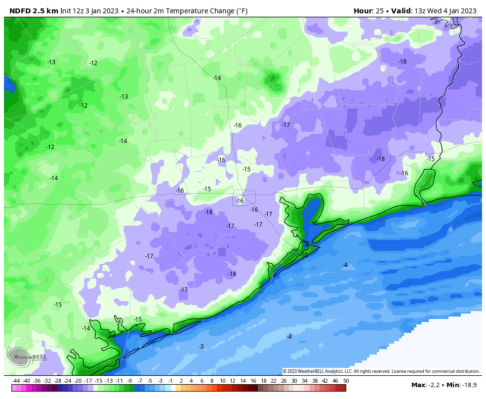
Good morning. A cold front is moving into Houston this morning, which will knock down the very sticky humidity the region has experienced for the last several days. Some storms will persist south of Interstate 10 this morning, but by mid- to late-morning drier air will be replacing this moisture, and bringing an end to rain chances. We’ll then be rain-free until the weekend, when the forecast turns more complex as another front slogs into the area.
Tuesday
Skies will clear out later this morning, and we’ll see a pleasant, sunny day with temperatures around 70 degrees. Winds will be out of the north or northwest at 10 mph, with slightly higher gusts, so this won’t be a howling front in that sense. Lows tonight will drop down to around 50 degrees in Houston, with colder conditions in outlying areas.
Wednesday and Thursday
These will be fine January days, with highs in the upper 60s to 70 degrees, and lows in the upper 40s. Days will be sunny, and nights clear. Winds, generally, will be light.
Friday
As high pressure moves away from the area, the onshore flow will resume. Nevertheless, for most of Friday we should see sunny skies, with highs in the low 70s. Clouds will start to build Friday night, with lows dropping only to around 60 degrees, or slightly below that, in Houston.
Saturday and Sunday
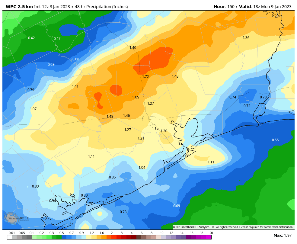
The forecast for the weekend is starting to come into better focus. What we’re likely to see is a slow-moving front push into the Houston and generate widespread rain showers. At this point I think skies will be mostly cloudy on Saturday, with perhaps a 30 percent chance of rain. The better chances will come into the forecast on Saturday night and Sunday. High temperatures on both days will likely be in the 60s, with lows in the 50s. I don’t think these will be flooding rains, but more likely showers and a few thunderstorms of the light- to moderate variety. Most areas should see on the order of 0.75 to 1.5 inch of rain, give or take, spread out over one to two days.
Next week
As the aforementioned front continues to linger over or near Houston, rain chances will likely persist into Monday morning before we finally clear out some behind the front. Most of next week looks pleasant for January, with highs in the 60s or low 70s, with lows in the 40s and 50s.
This is crazy. The A/C kicked on late yesterday afternoon. About ten days earlier, I was wondering why the new furnace was having trouble keeping up.
Am I crazy or are we significantly wetter this winter than normal?
kdog68, If Winter started at December 1st and my subtraction is correct, Bush Airport appears to be 0.25 inches drier than normal. If your location received more than 4.26 inches of rain, since December 1st, then your location is wetter than normal. I hope that helps.
I’ll let an expert with historical statistics correct me if I am wrong, but as a someone who has lived in the area for 40 years, this winter feels “normal” overall with respect to temps, rain and fog.
Any idea at this point what the weather for the Houston Marathon will be on the 15th?
I believe they mentioned this in yesterday’s post
Eric normally runs this so he’s usually keen on getting the forecasts out once confidence is reasonable.
Interested as well, as I’ll be there taking pictures!
I am glad that normal “winter” temperatures for Houston are returning. There should be comfortable days, cool nights, and a lot of sunshine.
OK, it’s nearly noon, and temps and dew points are still in the 70s around here. Where’s the front?