First off, a very happy Veterans Day to those who have served and defended our great nation. We owe you our deepest gratitude for your service and sacrifices. Thank you!
On to our weather. If you were looking for a nice, quiet autumnal weekend, I think you’re going to find one the next few days.
Today through Sunday
The biggest forecast challenge I see is cloud cover.
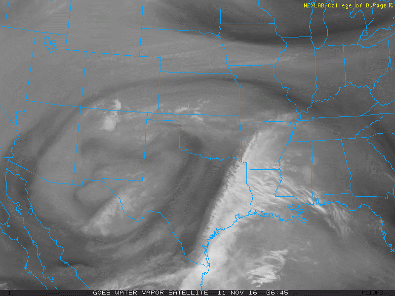
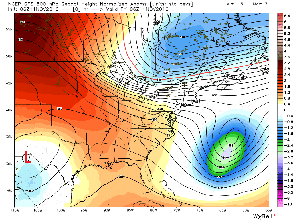
An upper low well to our west and ample jet stream energy off the Pacific are helping to keep a high deck of clouds in the forecast the next couple days. If you look at weather model data, this upper low is forecast to basically shear itself apart and open up before being ejected off to the east later this weekend.
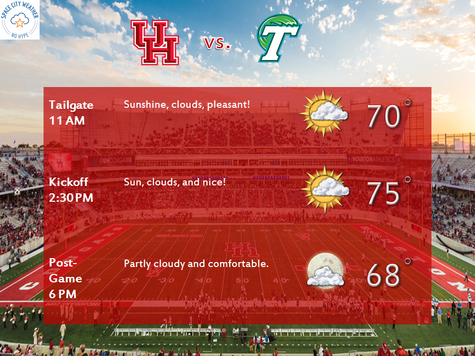
What does it mean for you? Expect intervals of clouds and sunny breaks today and tomorrow. We should probably see more of the same Sunday also, though we could see gradually decreasing clouds. Temperatures will vary based on clouds. If we see a lot of clouds, expect daytime highs in the upper 60s to around 70 and nighttime lows in the upper 50s. If we get a fair amount of breaks in the clouds, we’ll do low to mid 70s for highs and upper 40s to mid 50s for lows. Basically, it looks like a fair weather fall weekend here in Southeast Texas, with no serious rain risk.
Heading to watch UH tangle with Tulane Saturday? We have you covered.
Next Week
Quiet weather looks to continue into next week also. Southeast Texas will ride the boundary between a Western U.S. ridge and weak Eastern U.S. trough. That should allow a reinforcing cold front early in the week to bring us more pleasant temperatures. As we go deeper into the week, that Western ridge will move eastward. That brings us ample sunshine and warmer temperatures, pushing into the upper 70s and low 80s by midweek to late week.
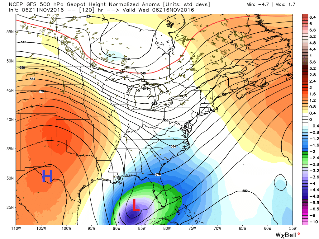
Now, the models agree that a brief trough will dig in behind the ridge. This could press a legitimate cold front through here by next weekend. It’s November 11th, and we have yet to have a *true* norther type front move through. It has to happen at some point. There continues to be a general absence of legitimately cold air across North America. So without that push, I’m not sure we see an early winter type front here anytime soon. Either way, we look to cool down a bit again by next weekend. Rain risk remains quite low the next 10 days. We could use a little more of that.