Good morning. It is not pleasant outside, with winds gusting to 30 mph pretty much across the entire region, and temperatures generally in the 30s. The combined result of this is wind chill temperatures in the 20s for pretty much everyone this morning. A freeze is expected tonight for all but the immediate coastal areas.
Tuesday
Some very light precipitation remains across the western part of the region, but this should continue to wane through sunrise this morning. However, this may produce a little bit of sleet that will not stick to the ground. Otherwise, we should see clearing skies throughout the morning and into the afternoon. Highs will only nudge up into the low 40s for most. Strong, northerly winds will blow throughout the day, although they should gradually wane this afternoon before falling off to 10mph or below after sunset—except for the immediate coast where they will blow a bit longer. Clear skies and dying winds will allow for ideal cooling Tuesday night, and nearly all of the area except for the coast will probably see a freeze. Lows may reach the mid-20s for Conroe and points north.

Wednesday
Partly sunny skies, with a high of around 50 degrees. As northerly winds finally die, we’ll begin to see some cloud development later in the day, and the possible return of some light showers during the afternoon or evening. Lows Wednesday night should drop into the 40s as rain chances increase to about 50 percent.

Thursday
A relatively weak cold front will push through Texas, and there should be just enough of a moisture return to produce light to moderate showers on Thursday. In terms of accumulation, we’re most likely looking at 0.25 to 0.5 inches of rainfall, so nothing to worry about. But this should nonetheless make for a gray and gloomy day. Highs likely will only reach about 50 degrees. The frontal passage should make for a cold night again, with lows dropping to around 40 in Houston by Friday morning.
Friday and Saturday
These look to be a pair of pretty stellar days, with mornings starting out chilly, at around 40 in the city and cooler to the north, and daytime highs of around 60 degrees. Skies should be mostly sunny on both days.
Sunday
The second half of the weekend will see the return of some clouds, most likely, as another weak front pushes through the region. This could produce some rain later on Sunday, but most likely there won’t be enough moisture to work with, so I’d peg the probability of rain at perhaps 30 percent. Skies will be partly sunny for most of the day and highs will reach a relatively balmy mid-60s.
Next week
We are likely to see a warming trend for Houston, with highs pushing back up into the 70s and lows in the 50s and 60s by next Tuesday or so. Rain chances appear fairly low as well, so the watch word for next week is probably mild.
It’s absolutely PERFECT outside! Enjoy a taste of real Fall 👏👏👏👏👏👏
I’m with Jodi. This is the kind of weather I live for!!
I actually had to spend some time digging through my closet to find my tuque. Haven’t needed it in a while. The weekend sounds perfect!
I’m thinkin’ you ain’t from around here. We don’t call ’em “tuques.” /joke
Had to fire up the Googler for that one.
Your what?
Your what?
I’d say it’s very pleasant outside. I’d take more of this, thanks!
It is very difficult weather for riding my bike to work, the wind makes it quite difficult and the twigs come blowing along into the spokes, and I get all sweaty and soggy, meantime, the house is freezing from the wind and no insulation, the TV reception is terrible from the wind, and all night long leaves and twigs hit the house. Not very pleasant at all.
Totally LOVING this weather! Now it finally feels like Autumn.
Not a fan of rain, but I do love the crisp. Yay.
Again I’m in the minority when I say it’s about 60 degrees below my ideal daytime high. Been watching radar and had to double check which City and State I clicked on…scary. Dear Mr Summertime…bring it.
…your ideal high is over 100? I’d say that puts you in a pretty small group, all right. If you’d said 40 degrees I’d have been right there with you.
30+60=90. Guess I should have explained that a little better.🤪
i work in a building with no heat. we all agree with you monty. personally, david goldfarb, yes my ideal high is around 100.
When do you suppose we get another front?
Andrea
You mean besides this one that he mentioned in his post?
“Thursday
A relatively weak cold front will push through Texas,”
Not a fan of the freezing cold, but glad all weather is short-lived in Texas!
Eric, Matt – Can you explain why cities such as Brownsville received snow this morning but Houston and places north of that only received rain? I feel there must be some kind of meteorological reason why it’s colder south.
I didn’t think it snowed in Brownsville, but i think places southwest of Houston got wintry weather because there was precipitation there when there was none here. Also it seemed the cold front went through faster west of here and the hill country is higher in elevation, so it was colder farther west.
Any idea what the outlook is for Thanksgiving? My biggest fear is all this cold weather now so that I have to suffer through heat through the holidays. I hate cooking Thanksgiving and Christmas dinner with the A/C on!
I’m with Jody – this is perfect weather! After 6 months of enduring the Houston “summer” this is a great relief!
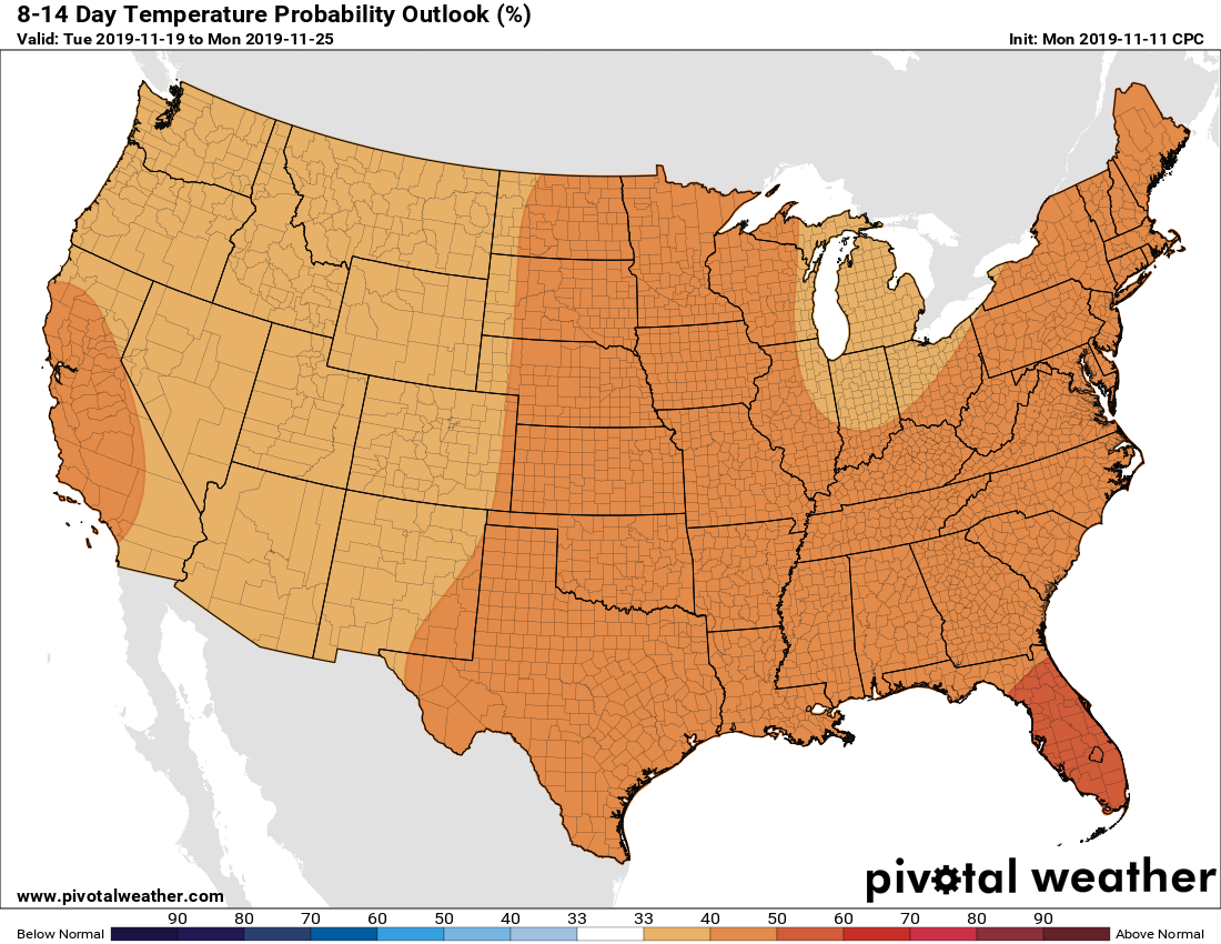
When would some early predictions start coming out for Thanksgiving?
They say more than 10 days out is not accurate and 10 days is pushing it, so they might mention it the week before………
Perfect fall weather! Grew up in the PNW, this suits me just fine, thank you.
I guess I’m the only one who hates this weather pattern we’ve had in the last month or so. Summer like heat, followed immediately by freezing cold, with nothing mild in between (At least not more than a few measly days here and there). Have to winterize sprinklers in the middle of Nov. This sucks.
August will be here before you know it.
Enjoy the cool temps!
We “pay” for November through April from May to October…..