As anticipated, rains have returned to the area overnight, although we’ve already seen more than expected over eastern Harris and especially Liberty County, where 1 inch or more has fallen in some locations. This signals the return of a wetter pattern that will remain with us through Sunday, after which time the region should have a chance to dry out for at least a few days.

Thursday
As of sunrise, the bulk of the shower activity has moved off to the east of the Houston metro area, but we should see some light-to-moderate activity fill back in this morning and into the early afternoon hours. However, again the best rain chances, and potential for any severe thunderstorms, remains well off to the east and mostly over Louisiana. The upper-level disturbance that’s driving this activity will move east later today, bringing and end to the rain. Highs today should be around 80 degrees, with a warm night in the upper 60s.
Friday
Skies will be partly to mostly cloudy, but Friday should offer a break from the rain. Expect highs of around 80 degrees. The only concern for Friday is the potential for patchy fog to develop with the warm air over-running cooler waters.

Saturday and Sunday
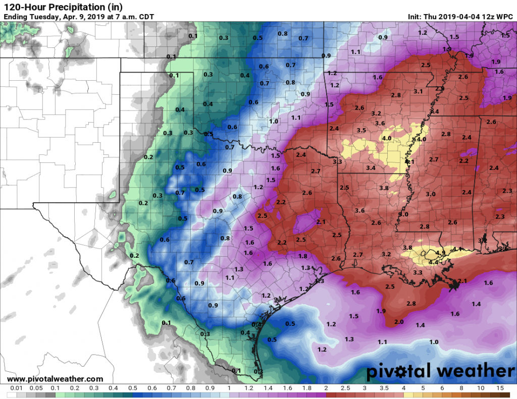
The timing for this weekend’s rainfall appears to be shifting somewhat to the right, with showers and thunderstorms now possible both Saturday and Sunday, with a greater likelihood for Sunday. The difficulty with predicting conditions this weekend is that, while the atmosphere will be capable of producing heavy rainfall and thunderstorms, a capping inversion may limit activity for some or many locations during the day on Saturday—it’s difficult to tell when the cap will break.
Unfortunately that means we’re going to have to broad brush the details: Most of the region is going to get 1 to 2 inches of rain this weekend, some locations will see more. Storm chances seem a bit higher on Sunday. We’ll have to watch for the potential for severe thunderstorms and some localized flooding, but we don’t know precisely when or where. Highs both days should be around 80 degrees. Hopefully Matt will be able to nail down some of the day-to-day details in Friday’s post.
Next week
A modest cool front will sweep into Houston later on Sunday, and this should bring an end to the rain by Sunday night or Monday morning. As a result, the early part of next week looks pretty nice, with sunny days around 80 degrees, and cool nights down around 60 degrees.